
Conley Road in Rideau-Jock, Ottawa, Ontario
Conley Road in Ottawa is a two-lane, unpaved minor road. The road has no sidewalks. It runs in a southeast-northwest direction starting from Flewellyn Road and crosses Fallowfield Road, Mansfield Road, Bleeks Road and Copeland Road and ends at Franktown Road. This road is part of the hiking trail "Rideau Trail - Ottawa Section".
- Road Type
- minor road
- Lanes
- 2
- Route
- southeast-northwest
Image
Bus stops
Roads nearby
MX101550 m
Copeland Road1,9 km
Bleeks RoadDanbys Bar And Grill, Munster
1,9 km
Rideau TrailGateway
2,0 km
Franktown RoadFranktown / Green's, Franktown / Conley, 6785 Franktown, Franktown / Joy's
2,5 km
Mansfield RoadMansfield
2,6 km
Coldstream Drive2,8 km
Coldstream Court2,8 km
Otterburn Avenue2,8 km
Caddy Court2,8 km
Cranberry CourtMunster / Cranberry
2,9 km
Cove Court2,9 km
Cobblestone Court2,9 km
Butterfield Road3,0 km
Chelmsford Crescent3,0 km
Butterwick Street3,0 km
Stroughton Crescent3,0 km
Fallowfield RoadFallowfield / Moodie, Fallowfield / Steeple Hill
3,1 km
Munster RoadMunster / Flewellyn, Munster / Mansfield, Munster / Dogwood, Munster / Fallowfield, Munster / Coldstream, Munster / Bleeks, Munster / Copeland, Munster / Franktown, Munster / Butterfield
3,1 km
Whisperwood Street3,1 km
Owlshead RoadMunster / Owlshead
3,2 km
Joy's Road3,2 km
Barnwood Court3,2 km
Dogwood Drive3,2 km
Garvin Road3,2 km
Tarywood Court3,2 km
Middlewood Court3,3 km
Attraction nearby
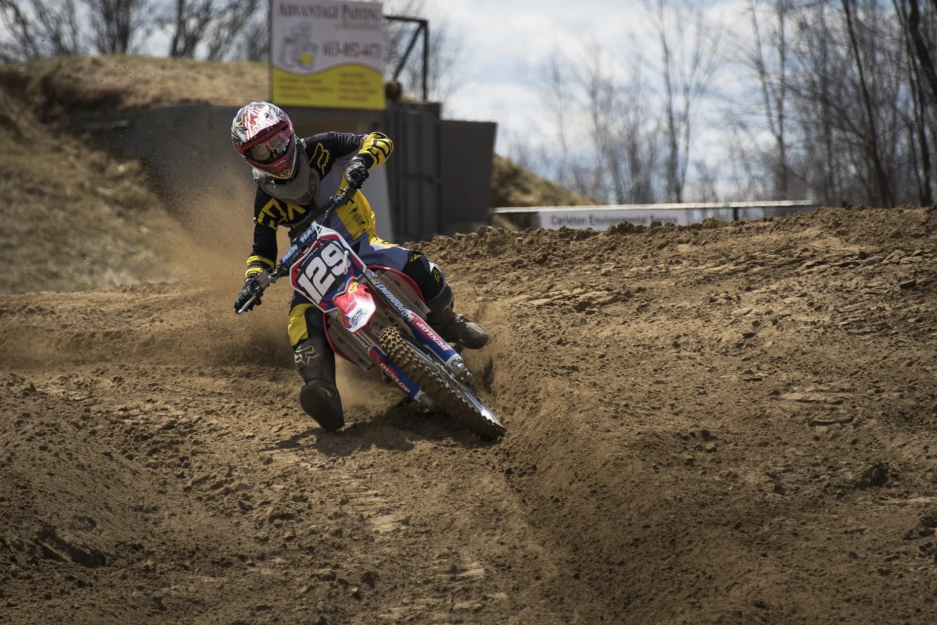
Sand Del Lee Track (Motocross Track)350 m
Buildings nearby
Munster 2 Wastewater Pumping Station2,9 km
Cemeteries nearby
Munster Union Cemetery3,0 km
Commercial areas nearby
Munster Mall3,2 km
Commercial buildings nearby
Jason's Landscaping and Snowplowing3,0 km
Community centres nearby
Munster Community Centre3,2 km
Drains nearby
Municipal drain3,5 km
Farmlands nearby
Manure3,3 km
Farmyards nearby
Mixed-Use Storage3,4 km
Ice rinks nearby
Dogwood Park Ice Rink3,2 km
Industrial areas nearby
Waste Water Plant3,2 km
Richmond Gate Station3,6 km
Libraries nearby
Ottawa Public Library - Munster Branch3,0 km
Parks nearby
Stroughton Park3,0 km
Dogwood Park3,1 km
Places of worship nearby
Munster United Church3,1 km
Self-storages nearby
Turpin Creek Farm and Storage2,7 km
Service buildings nearby
Munster Hamlet Communal Well #22,9 km
Munster Hamlet Pumping Station3,1 km
Sports pitches nearby
Ball Diamond3,2 km
Public Tennis Courts3,2 km
Cover-All3,5 km
 Public transport map Rideau-Jock Legend
| Railway | |
| Bus | |
| Tram |
 Cycling map Rideau-Jock Legend
| Cycle path | |
| Cycle lane on road | |
| Cycling on bus lane | |
| Bicycle street | |
| Cyclists allowed | |
| Cyclists allowed, good surface | |
| No cycling | |
| Cobblestones |
| Long-distance cycle route | (depending on scale) | |
| Long-distance cycle route |
 Walking map Rideau-Jock Legend
| Path |
| Long-distance hiking trail | (depending on scale) | |
| Long-distance hiking trail | ||
| No pedestrians |