
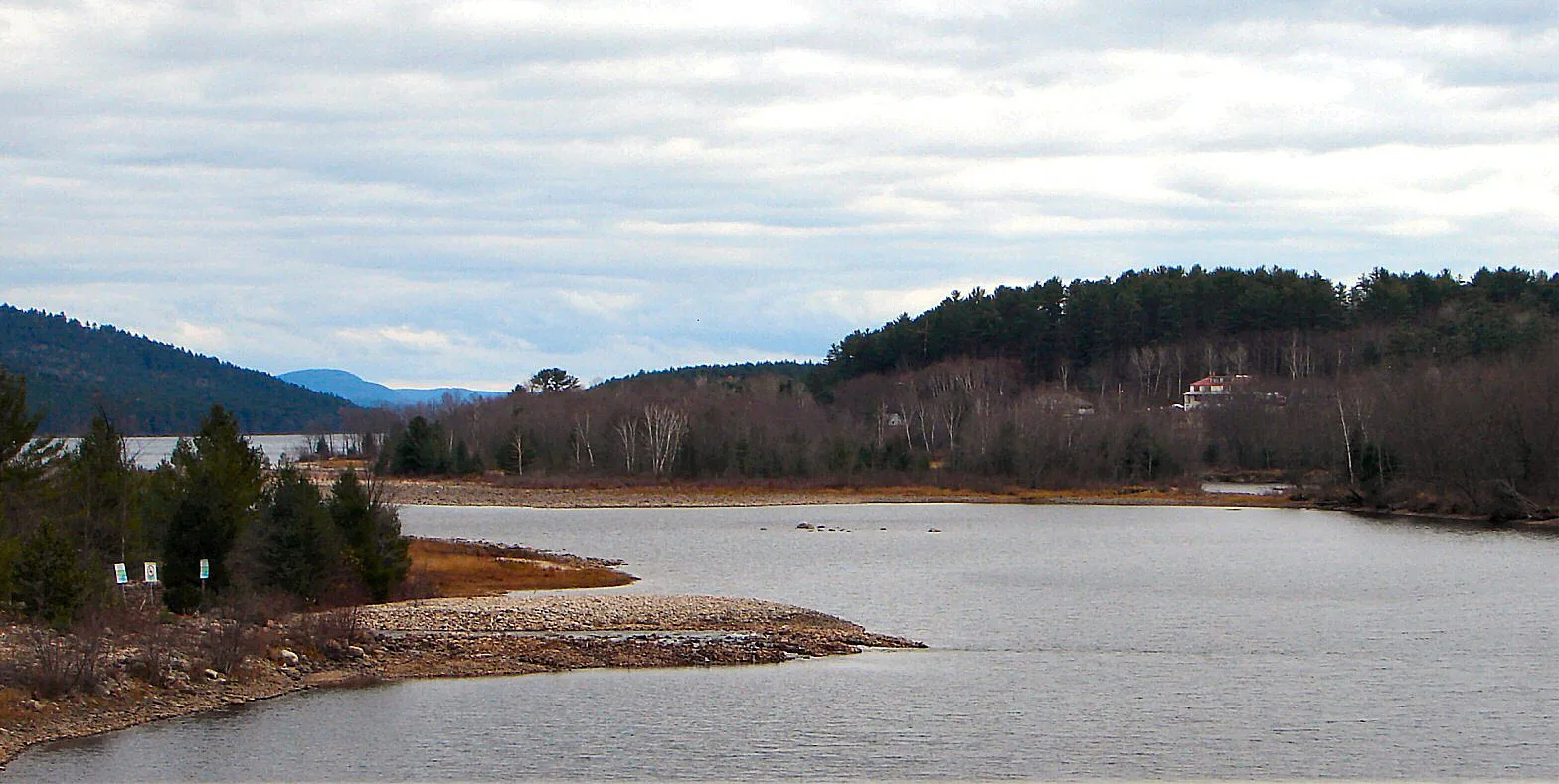
Ottawa River / Rivière des Outaouais in West Carleton-March, Ottawa, Ontario
Ottawa River / Rivière des Outaouais in Ottawa is a river. Ottawa River / Rivière des Outaouais is also known as Rivière des Outaouais. Ottawa River / Rivière des Outaouais also exists in Somerset, Kitchissippi, Beacon Hill-Cyrville and Rideau-Vanier. Ⓦ.
- Waterway Type
- river
Image
Museum
- Pinhey's Point (web) – approx. 5,2 km.
Post offices
Library
Pubs
Dentist
Pet shops
Tourist information offices
Pharmacy
Restaurants
School
Massage parlours
Farm shops
Bus stops
Off-licences
Convenience stores
Chalet
Hairdressers
Clothing shops
Roads nearby
Robin Road750 m
Chemin de la Sapinière750 m
Swift Street850 m
Sephora Ridge900 m
Wren Street900 m
Chemin du Lac1,0 km
Avenue des Plages1,1 km
Vances Side Road1,1 km
Baskins Beach Road1,2 km
Barlow Crescent1,2 km
Chemin du Val-de-Loire1,5 km
Chemin du Bord-de-l'Eau1,6 km
Julia Court1,6 km
Heather Street1,6 km
Chemin des Hiboux1,7 km
Chemin Maska1,7 km
Chemin du Carrefour1,7 km
Stoneridge Road1,8 km
Croissant Bingley1,9 km
Avenue de l'Orée-du-Bois1,9 km
Chemin Bélisle1,9 km
Chemin Charron2,0 km
Chemin Bergeron2,0 km
Chemin Dollard2,1 km
Avenue des Voiliers2,1 km
Avenue des Vacanciers2,1 km
Avenue de la Vieille-Pompe2,2 km
Chemin des Pères-Dominicains2,3 km
Chemin de la Rivière2,4 km
Avenue du Marais2,4 km
Avenue des Quatre-Saisons2,4 km
Chemin Papineau2,5 km
Old Maple Lane2,5 km
Chemin Mélémi2,5 km
Chemin de la Sablonnière2,5 km
Chemin des Laurentides2,6 km
Strode Avenue2,6 km
Chemin de la Villa2,6 km
Forestview Lane2,6 km
Torwood Drive2,6 km
Armitage Avenue2,6 km
Chemin Breckenridge2,7 km
Farm Lane2,7 km
Shops nearby
Port of Call Marina Ltd550 m
Abandoned railways nearby
CPR Waltham2,5 km
Parks nearby
Dunrobin Shores Park2,3 km
Streams nearby
Ruisseau Brady2,3 km
Ruisseau Belisle2,4 km
Other nearby
Twelve Mile Island2,7 km
| Length | 1271 |
|---|---|
| Heritage designation | designated historic site |
| Located in | Quebec, Ontario |
| Country | Canada |
| Origin | Lac des Outaouais |
| Mouth | St. Lawrence River |
| Tributary | Rivière Kinojévis, Kipawa River, Rivière Dumoine, Noire River, Coulonge River, Rivière Rouge, Rivière du Nord, Blanche River, Montreal River, Mattawa River, Petawawa River, Mississippi River, Rideau River, Rivière de la Petite Nation, Rivière du Lièvre, Gatineau River, Rideau Canal, Madawaska River, South Nation River, Carillon Canal, Rivière Maganasipi, Rivière Quyon, Rigaud River, Rivière Schyan, Rivière à la Raquette, Carp River, Muskrat River, Rivière Viviry, La Petite Blanche, Rivière Darlens, Rivière Beauchêne, Rivière du Calumet, Rivière Kingham, Rivière à la Loutre, Rivière Lavallée, Rivière à l'Ours, Petite rivière à l'Ours, Ruisseau Mohr, Petite rivière Saumon, Rivière Saumon, Rivière Antoine, Rivière Quinchien, Rivière Blanche, Petite rivière Blanche, Rivière Camachigama, Rivière Camatose, Rivière Capitachouane, Rivière Chochocouane, Rivière Doré, Rivière Festubert, Rivière Fraser, Rivière Kânitawigamitek, Rivière Marrias, Rivière Roger, Rivière Saint-Cyr, Chenal du Sud, Ruisseau Cushing |
| Website | http://rivieredesoutaouais.ca |
| Native label | Kichi-Sìbì |
| Official name | Ottawa River |
| Described by source | Armenian Soviet Encyclopedia, The Nuttall Encyclopædia, Small Brockhaus and Efron Encyclopedic Dictionary, New Encyclopedic Dictionary, Encyclopædia Britannica 11th edition |
| Has part | Baie de Lochaber |
Public transport map West Carleton-March Legend
| Railway | |
| Bus | |
| Tram |
Cycling map West Carleton-March Legend
| Cycle path | |
| Cycle lane on road | |
| Cycling on bus lane | |
| Bicycle street | |
| Cyclists allowed | |
| Cyclists allowed, good surface | |
| No cycling | |
| Cobblestones |
| Long-distance cycle route | (depending on scale) | |
| Long-distance cycle route |
Walking map West Carleton-March Legend
| Path |
| Long-distance hiking trail | (depending on scale) | |
| Long-distance hiking trail | ||
| No pedestrians |