
College Way in Pembroke, Ontario
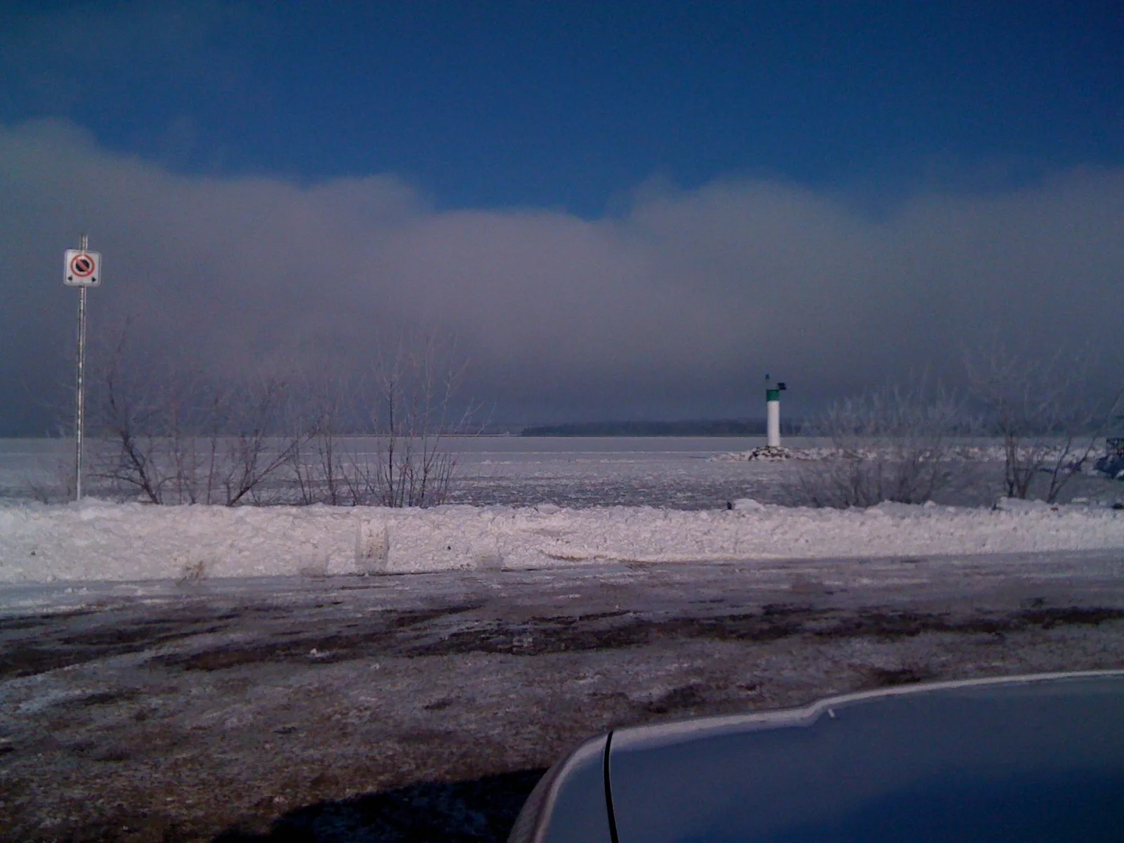
College Way in Pembroke is a residential street. It runs in a north-south direction and crosses Frank Nighbor Street and Lake Street. It ends in a cul-de-sac.
- Road Type
- residential street
- Route
- north-south
Image
Cafés
Stationery shops
Butcher's
Cannabis shops
Jewellers
Sports shops
Restaurants
Museum
Charging stations
Bar
Clothing shops
Confectioneries
Pawnbrokers
Bank
Post offices
Hearing aid centres
Department stores
Shoe shops
Pharmacy
Roads nearby
Lake StreetGiant Tiger, Rapid, Wilkies
100 m
Frank Nighbor StreetMurray L. Moore Hydro Museum
150 m
Agnes StreetHeritage hearing care
200 m
Alexander StreetFLO
200 m
Pembroke Street WestUlrich's, New Asian Cuisine, Ulrich's on Main, Canada Post, Runge Stationers, Pembroke Pawnbrokers, Coffee Xpress, Pembroke, Pizza Pizza, The Grind Coffee House, Bonanza Restaurant, The Nook Creperie, Pharmasave, BMO, National Bank, Payday Plus, CIBC, Little Things Canning Company, Thai Gardens, Purvis Gallery & Framing, Custom Draperies & Home Decor, The Urban Gourmet Co., Dot, The Courtyard Bistro, Town and Country Men's Shop, Janna's Gallery Cafe, A Special Time, Howard's Pawn Shop, The Giggling Goats, Play It Again Sports, Kerry's Place, Scott's Shoe Store, Bob's Music, Colony Skateshop, Scotiabank, Valley Vape, Sumo Sushi, Lasso Live, Prairie and Luna Cannabis Co., Perkins, Shear Madness, Swiss Chalet
250 m
Hincks Street250 m
Christie Street300 m
Renfrew Street300 m
Prince StreetGoldstream Jewellers, Zaffran Bistro
350 m
First Responders Way400 m
Isabella StreetWise Owl Day Care Centre
400 m
Albert StreetBrown's Car Parts, Fabricland, Collective Growers
450 m
Indian Lane500 m
Mary Street500 m
Moffat Street550 m
Murray Street550 m
Doran Street550 m
Victoria StreetMeridian Credit Union
600 m
Welland Street600 m
Church Street600 m
Miller Street650 m
Maiden Lane650 m
Margaret Street700 m
Alfred Street750 m
Banks nearby
RBC550 m
Buildings nearby
Service Canada350 m
Pembroke Farmer's Market550 m
Pembroke Armoury550 m
The Victoria Centre550 m
Commercial areas nearby
Downtown Pembroke400 m
Fast food restaurants nearby
Subway250 m
Funeral directors nearby
Murphy Funeral Home & Chapel450 m
Libraries nearby
Pembroke Public Library600 m
Paint shops nearby
Dulux Paints250 m
Parks nearby
Pembroke Waterfront Park350 m
Memory Garden500 m
Coronation Park650 m
Pansy Patch Park750 m
Places of worship nearby
First Prebysterian Church200 m
Wesley Community Church350 m
Saint Columbkille's Cathedral450 m
Calvin United Church500 m
Holy Trinity Anglican Church550 m
First Baptist Church550 m
St. John's Lutheran Church600 m
Residential buildings nearby
320 Lake St300 m
Restaurants nearby
Joes Family Pizzeria250 m
Madameek250 m
Sports centres nearby
Pembroke Memorial Centre200 m
 Public transport map Pembroke Legend
| Railway | |
| Bus | |
| Tram |
 Cycling map Pembroke Legend
| Cycle path | |
| Cycle lane on road | |
| Cycling on bus lane | |
| Bicycle street | |
| Cyclists allowed | |
| Cyclists allowed, good surface | |
| No cycling | |
| Cobblestones |
| Long-distance cycle route | (depending on scale) | |
| Long-distance cycle route |
 Walking map Pembroke Legend
| Path |
| Long-distance hiking trail | (depending on scale) | |
| Long-distance hiking trail | ||
| No pedestrians |