
Peter Street in Pembroke, Ontario
Peter Street in Pembroke is a residential street. It runs in a north-south direction starting from Nelson Street and crosses Pembroke Street East, Supple Street, Esther Street and Alfred Street and ends at Herbert Street.
- Road Type
- residential street
- Route
- north-south
Image
Fast food restaurants
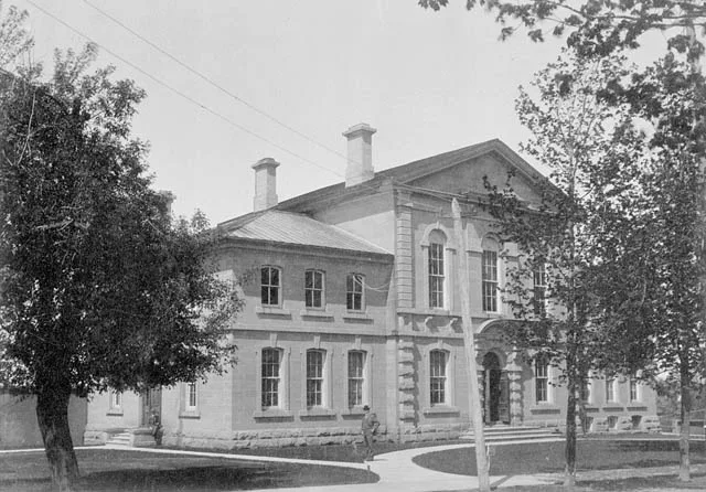
Courthouse
Dentist
Post offices
Cannabis shops
Bank
Restaurants
Stationery shops
Off-licences
Tattoo studios
Convenience stores
Hairdressers
Pharmacy
Clinic
Police stations
Florist's
Cafés
Art galleries
Roads nearby
Pembroke Street EastMoney Mart, Renfrew County Courthouse, Pretty Ink Tattoos, Sisterhood Papercrafts, Mulvihill Drug Mart, Ottawa Valley Health and Wellness Centre, The Pita Shack, Cut-Rite, Pembroke Denture Centre, Pembroke Hair Studio, Ashes Bar-Cade, Fraser & Melton Flowers, Little Caesars, Cash 4 You, The Laundry Lounge, Office Pro, Speedy Glass, Trucks Plus, Culligan, Rick's Pet Stores, Wrenchers, Alterna Savings, Quesada, Medigas, Davidson Hearing Aid Centres, Mandy's Pizzeria, East Side Mario's, Anthony's, Mac's, First Choice Haircutters, Kushy's
150 m
Esther Street150 m
Catherine Street250 m
Alfred Street300 m
Supple Street350 m
Maple Avenue350 m
Wilbert Street350 m
Elizabeth StreetCanada Post
350 m
Herbert Street350 m
William StreetPembroke Police
400 m
Nelson Street400 m
Sussex Street400 m
John Street400 m
Fraser Street400 m
McAllister Street450 m
Martin Street450 m
MacKay StreetCountry Style
500 m
Estelle Street500 m
Dickson StreetPembroke (city)
550 m
Wilson Place550 m
Peter Street South600 m
Metcalfe Street650 m
Irving StreetPembroke Civic Complex (Carefor Health & Community Services)
700 m
Buildings nearby
The Co-operators100 m
Sheppard & Gervais150 m
Kelly Kelly Lawyers150 m
Huckabone O'Brien Instance Bradley Lyle150 m
Booth House200 m
Tim Moss, Chartered Accountant200 m
Johnson & Fraser250 m
Service Ontario300 m
Cafés nearby
Tim Hortons500 m
Car washes nearby
Soapie Joe's150 m
Convenience stores nearby
Circle K100 m
Fast food restaurants nearby
Dairy Queen300 m
KFC350 m
Nick's Chickenhouse and Pizzeria350 m
Guest house nearby
Grey Gables Inn500 m
Ice rinks nearby
Pembroke Curling Centre550 m
Medical supply shops nearby
Valley Mobility250 m
Parks nearby
Kinsmen Park600 m
Petrol stations nearby
Stinson450 m
Pharmacies nearby
Rexall350 m
Places of worship nearby
Wesley United Church250 m
St. Timothy's Lutheran Church600 m
Post offices nearby
Canada Post400 m
Social centres nearby
Royal Canadian Legion Hall300 m
Social facilities nearby
Carefor Civic Complex650 m
Supermarkets nearby
Metro400 m
 Public transport map Pembroke Legend
| Railway | |
| Bus | |
| Tram |
 Cycling map Pembroke Legend
| Cycle path | |
| Cycle lane on road | |
| Cycling on bus lane | |
| Bicycle street | |
| Cyclists allowed | |
| Cyclists allowed, good surface | |
| No cycling | |
| Cobblestones |
| Long-distance cycle route | (depending on scale) | |
| Long-distance cycle route |
 Walking map Pembroke Legend
| Path |
| Long-distance hiking trail | (depending on scale) | |
| Long-distance hiking trail | ||
| No pedestrians |