
Peter Street in Champlain, Ontario
Peter Street in Champlain is a single-lane, asphalted residential street. It runs in a southeast-northwest direction starting from Marston Street and crosses Front Road West, King Street and Queen Street and ends at Victoria Street. Peter Street also exists in Lanark County, Stormont, Dundas and Glengarry Counties and Renfrew County.
- Road Type
- residential street
- Lanes
- 1
- Route
- southeast-northwest
Image
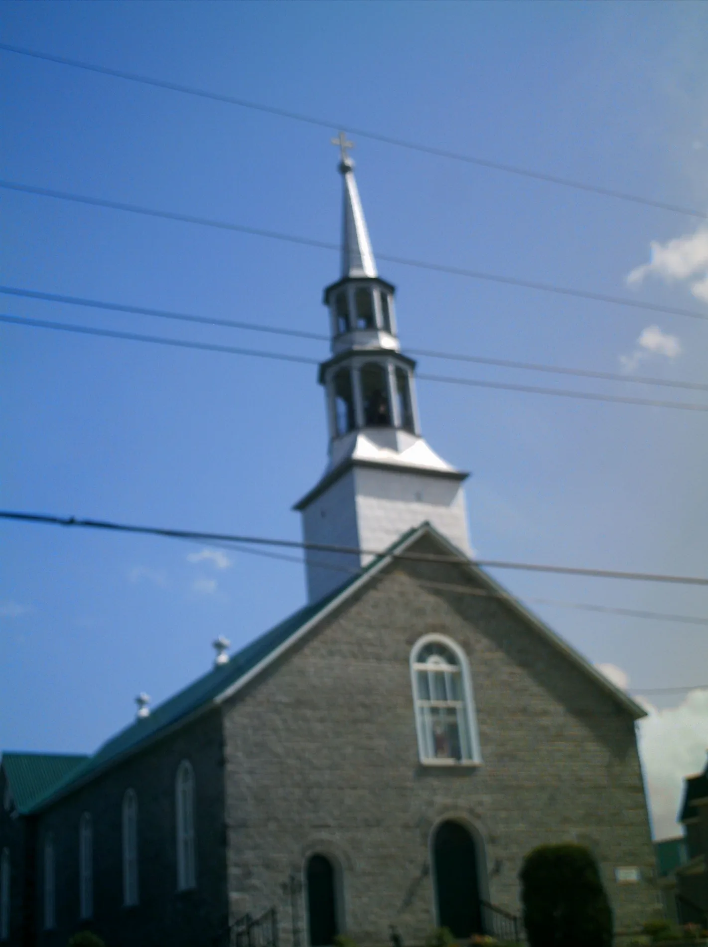
Town hall
Places of worship
Supermarkets
Artwork
Bakeries
Petrol stations
Convenience stores
Shelter
Furniture shops
Pharmacy
Library
Restaurants
Car dealerships
Cafés
Hardware shops
Bank
Roads nearby
Front Road West150 m
Marston Street150 m
River Lane150 m
Wharf Street250 m
Victoria Street250 m
Dufour Street300 m
King Street300 m
Queen Street350 m
Bernard Crescent400 m
Daniel Street400 m
Water Street400 m
Court StreetL'Original Municipal Office
400 m
Pilon Street450 m
Julien Street500 m
John StreetCorner Store, MacEwen
500 m
Bay RoadL'Orignal, Evanturel, Village Lanthier
550 m
Franche Street600 m
Hall Lane650 m
Aimé Street650 m
des Chalets Street850 m
Bobois Street1000 m
Elgin Street1,0 km
Eliza Street1,2 km
Chemin Larochelle1,2 km
Lisgar Street1,2 km
Longueuil Street1,2 km
Fries Avenue1,4 km
Pharand Street1,5 km
County Road 41,5 km
County Road 17L'Ange-Gardien, Golden Dragon House, Fresko's, Farm equipment
1,5 km
Lecours Street1,6 km
Campsite nearby
L'Orignal Camping400 m
Camping à l’arochelle1,3 km
Car repair shops nearby
King Garage1,4 km
Courthouses nearby
Ontario Court of Justice350 m
Fire stations nearby
L'Original Fire Station1,1 km
Industrial areas nearby
Colacem Canada700 m
Ivaco Rolling Mills LP1,1 km
Marinas nearby
Marina de l'Orignal350 m
Motel nearby
Poplar Motel1,0 km
Parks nearby
Laurier Pilon Park150 m
Parc Municipal-L'Orignal650 m
Places of worship nearby
Paroisse St Jean Baptiste450 m
Post offices nearby
L'Orignal Post Office300 m
Self-storages nearby
Extra Storage Champlain1,3 km
Service buildings nearby
Bell Canada L'Orignal LRNLON63RS0100 m
Social facilities nearby
Chartwell Champlain Long Term Care Residence1,7 km
Streams nearby
Mill Creek450 m
Town halls nearby
Prescott and Russell Administrative Offices350 m
Public transport map Champlain Legend
| Railway | |
| Bus | |
| Tram |
Cycling map Champlain Legend
| Cycle path | |
| Cycle lane on road | |
| Cycling on bus lane | |
| Bicycle street | |
| Cyclists allowed | |
| Cyclists allowed, good surface | |
| No cycling | |
| Cobblestones |
| Long-distance cycle route | (depending on scale) | |
| Long-distance cycle route |
Walking map Champlain Legend
| Path |
| Long-distance hiking trail | (depending on scale) | |
| Long-distance hiking trail | ||
| No pedestrians |