
Laurentian Hills, Ontario
Laurentian Hills is located in Renfrew County. Around 2,961 people live here. Laurentian Hills has around 791 streets. The region was founded in the year 2000. Laurentian Hills is town in Renfrew County, Ontario, Canada. Among other things, Laurentian Hills has public transport and restaurants. For more information, see www.laurentianhills.ca.
Laurentian Hills – Facts
| Inhabitants | 2.961 |
|---|---|
| Inception | 2000 |
| Located in | Renfrew County |
| Country | Canada |
| Website | https://www.laurentianhills.ca/ |
Data source: Wikidata (CC0)
Photos from Laurentian Hills
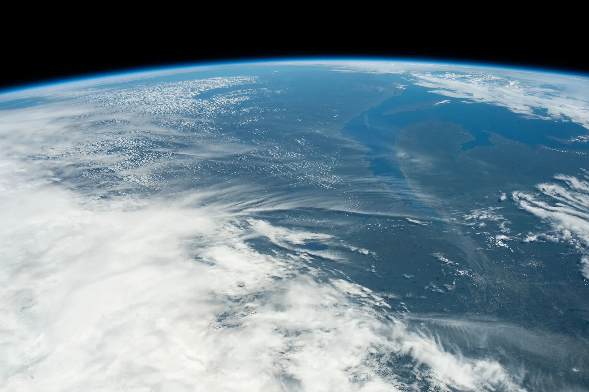
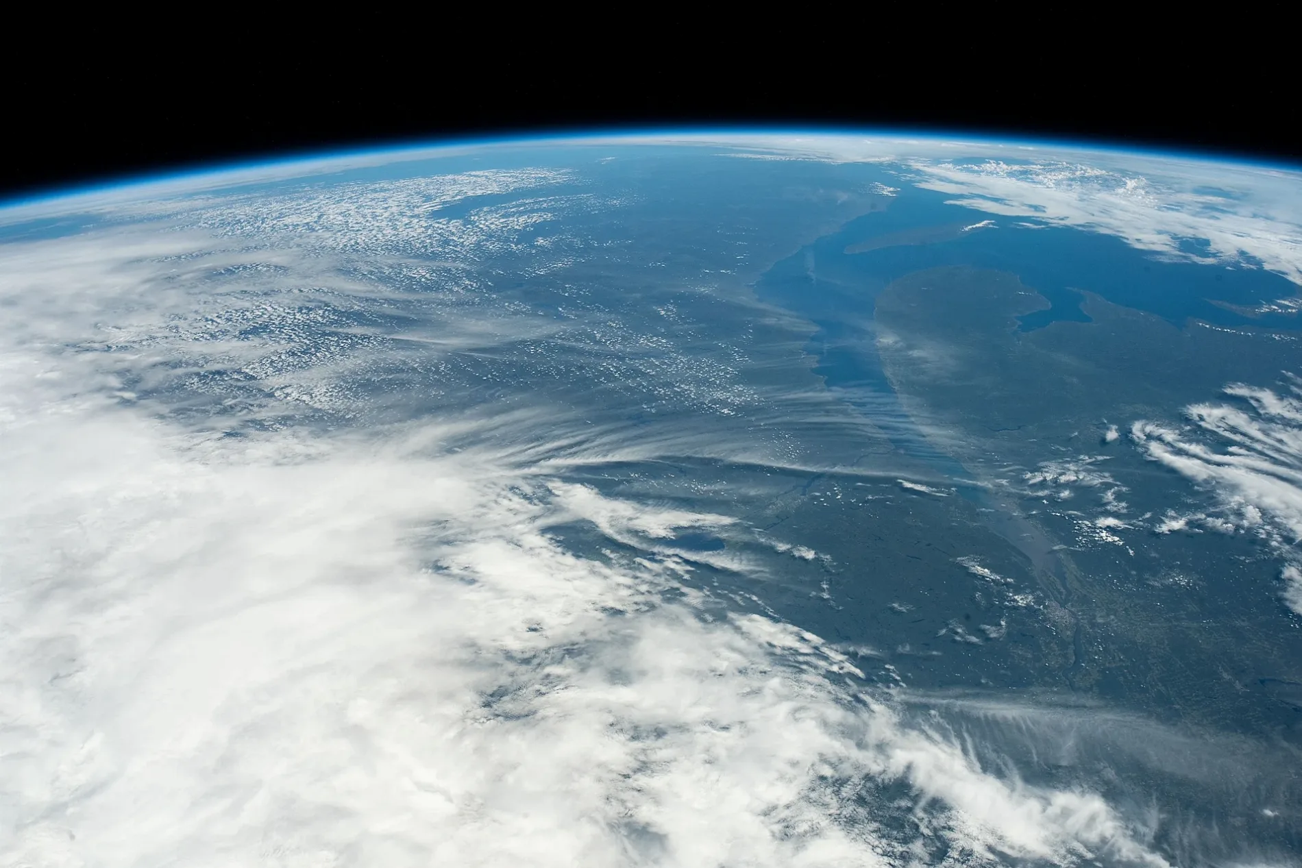
Roads in Laurentian Hills, Ontario
Roads
Highway 17
NPD Reactor Plaque, Point Alexander, Laurentian Hills Public Library - Point Alexander Branch, Esso, Guacamolli Mexican Restaurant, The Roadhouse Bar & Grill, Tree Top Restaurant, Mr Gas, Chalk River, Kingdom Hall of Jehovah's Witnesses, Ultramar
Moores RoadK/O's Mountain River Lodge
Bob Seguin Drive
Kean Lake
Kings Road
Swisha Road
Delaney Lane
Kean Lake South
Sydney Street
Legion Street
Bass Lake Road
Clarks Landing Lane
Lorne Place
Connector Road
Godreau road
McCarthy Street
Hydro Colony Lane
Laroche Crescent
Clement Lake Road
Elizibeth Street
Townline Road
Hunts Road
Lau Ren Road
Stiell Road
Ratton Avenue
Cabbys Trail
Branstead Road
Shore Lane
Paquette Road
Lisgar Drive
Cory Lake Road
Huey Lake Road
Burkes Bluff Lane
Tooley Drive
Johnny Lake
Ottawa Street
Monck Square
Frog Lane
Cochrane Lane
Myrlin WayBody of waters
Community centres
Playgrounds
Residential areas
School buildings
Streams
Woodlands
 Public transport map Laurentian Hills Legend
| Railway | |
| Bus | |
| Tram |
 Cycling map Laurentian Hills Legend
| Cycle path | |
| Cycle lane on road | |
| Cycling on bus lane | |
| Bicycle street | |
| Cyclists allowed | |
| Cyclists allowed, good surface | |
| No cycling | |
| Cobblestones |
| Long-distance cycle route | (depending on scale) | |
| Long-distance cycle route |
 Walking map Laurentian Hills Legend
| Path |
| Long-distance hiking trail | (depending on scale) | |
| Long-distance hiking trail | ||
| No pedestrians |