
Madawaska River in Brudenell, Lyndoch and Raglan
Madawaska River in Brudenell, Lyndoch and Raglan is a river. Madawaska River also exists in Arnprior, Madawaska Valley, Greater Madawaska and McNab/Braeside. Ⓦ.
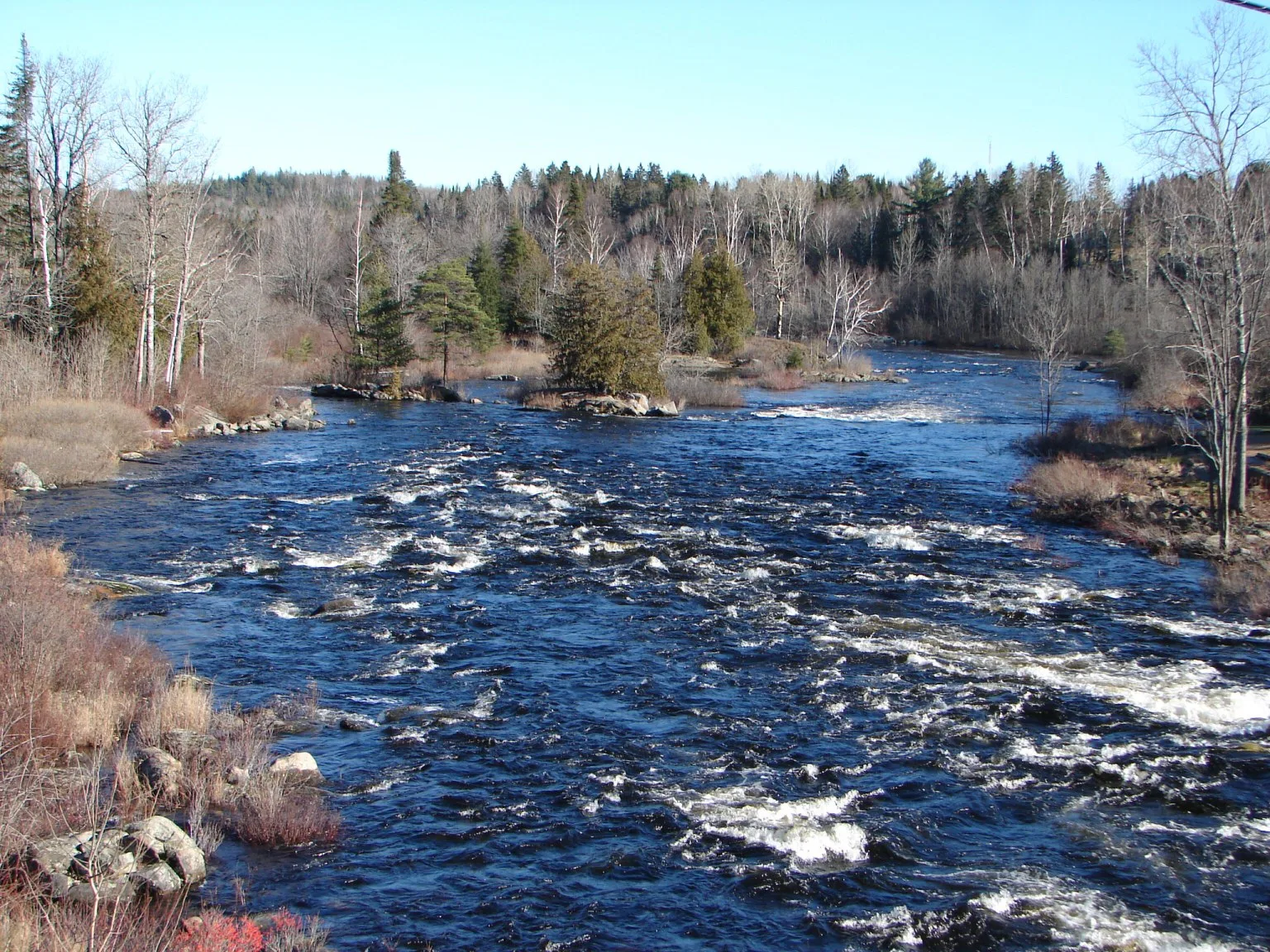
- Waterway Type
- river
Convenience stores
General stores
Off-licences
Campsite
Roads nearby
HYLAND CREEK RD1,7 km
Slate Falls3,2 km
Snake Rapids Road4,2 km
Cedar Lake4,4 km
Hyland Creek Road5,9 km
Keller Road6,1 km
Clear Lake Road6,3 km
Hyland Creek6,4 km
Finns Road6,4 km
Two Island Lake Road6,5 km
Little Timber Trail6,6 km
Attfields Lane6,6 km
Harrison Trail6,6 km
Ruby Mine Road6,6 km
Highway 41Greater Madawaska Canoe Rentals and Shuttle Service, LCBO, Northbrook, Pine Grove Motel, Carquest, Milestone Funeral Homes, Petro-Canada, 41 Fries, Fast Food, Guardian, Mazinaw Lakeside Resort Eatery, Shell, Country Style, Mr. Sub, Cloyne Pioneer Museum, Kaladar, General Store, Hooks Building Supplies
6,7 km
Lalonde Lane6,8 km
2 Island Lake7,2 km
Three Mountain Road7,3 km
Slate Falls RoadPipers Rest Bed and Breakfast
7,3 km
Rock Lake7,7 km
Body of waters nearby
Green Lake3,1 km
Hughes Lake3,2 km
Joyces Lake4,4 km
Thirty Eight Lake4,5 km
Little Green Lake4,6 km
McLaughlin Lake4,8 km
Slater Lake5,0 km
Sweetman Lake5,3 km
Dry Lake5,4 km
Serpent Lake5,6 km
Mountney Lake6,4 km
Graham Lake6,7 km
Wadsworth Creek7,0 km
Shortcut Lakes7,1 km
Denbigh Long Lake7,2 km
Northeast Lake7,8 km
Moger Pond7,9 km
Bearsmouth Lake8,0 km
Rainy Lake8,0 km
Cemeteries nearby
Moriarty Family Memorial7,4 km
Places of worship nearby
Hilltop Tabernacle6,8 km
Streams nearby
Henderson Creek3,8 km
Hydes Creek6,2 km
Graham Creek6,3 km
Snake Creek6,5 km
Highland Creek6,5 km
Mountney Creek6,8 km
Leidtke Creek7,2 km
Steins Creek8,1 km
| Length | 230 |
|---|---|
| Located in | Renfrew County, Nipissing District, Frontenac County |
| Country | Canada |
| Origin | Source Lake |
| Mouth | Lac des Chats |
| Tributary | Opeongo River, York River, McCauley Creek |
Public transport map Brudenell, Lyndoch and Raglan Legend
| Railway | |
| Bus | |
| Tram |
Cycling map Brudenell, Lyndoch and Raglan Legend
| Cycle path | |
| Cycle lane on road | |
| Cycling on bus lane | |
| Bicycle street | |
| Cyclists allowed | |
| Cyclists allowed, good surface | |
| No cycling | |
| Cobblestones |
| Long-distance cycle route | (depending on scale) | |
| Long-distance cycle route |
Walking map Brudenell, Lyndoch and Raglan Legend
| Path |
| Long-distance hiking trail | (depending on scale) | |
| Long-distance hiking trail | ||
| No pedestrians |