
Mill Street in Madawaska Valley
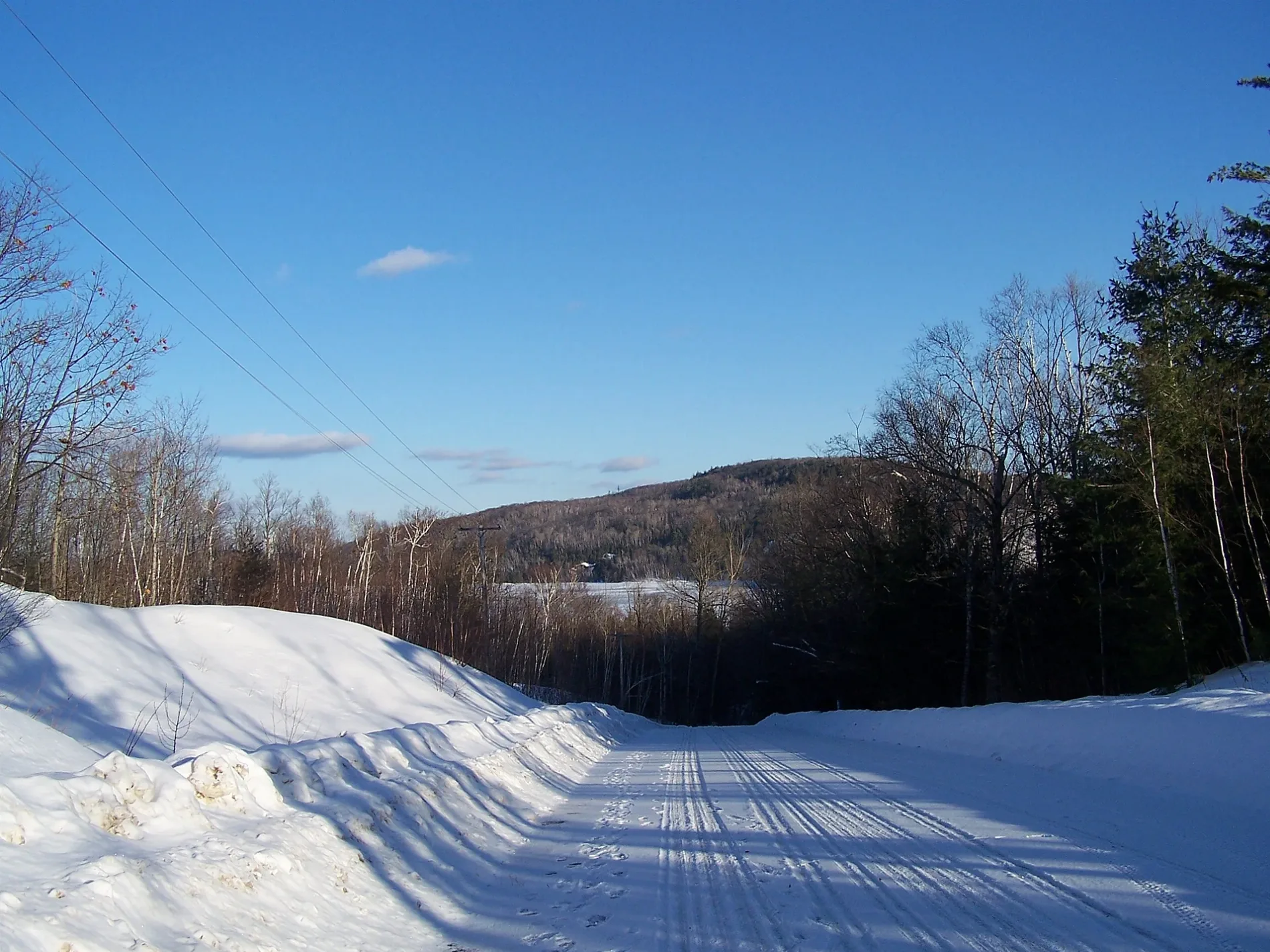
Mill Street in Madawaska Valley is a two-lane residential street. It runs in a north-south direction starting from Farmer Road and crosses Mission Road and ends at Combermere Road. Mill Street also exists in Killaloe, Hagarty and Richards and Greater Madawaska.
- Road Type
- residential street
- Lanes
- 2
- Route
- north-south
Image
Hardware shops
Petrol stations
Places of worship
Car parts shops
Bar
Gift shops
Convenience stores
Fast food restaurants
Campsite
Motel
Door shops
Art galleries
Bakeries
Ice cream parlours
Cafés
Gallery
Hostel
DIY stores
Confectioneries
Tourist information offices
Variety stores
Roads nearby
Mission Road200 m
Hargreaves Lane300 m
Farmer Road350 m
Peterson Place400 m
Meadowlark Road450 m
White Pine Crescent800 m
Waxwing Lane800 m
Goldt Lane850 m
Fran Stell Drive1,1 km
Warbler Way1,1 km
Cormorant Lane1,2 km
Drevniok Road1,2 km
Kurelek Road1,2 km
Perrier Road1,3 km
Ontario Street1,6 km
Supreme LanePine Cliff Resort
1,8 km
Northland Lane1,8 km
Kowal Road1,9 km
Riverside Drive1,9 km
Madawaska River Drive2,0 km
Lost Lane2,0 km
Allingham Lane2,1 km
Pine Cliff Road2,2 km
Bobolink Lane2,3 km
Combermere RoadHush Lodge & Cottages, Combermere, The Old School Cafe and Laundry, Old School Treats, Combermere Craft Cabin, CO Video, Home Hardware, Kingdom Hall of Jehovah's Witnesses
2,3 km
Lower Craigmont Road2,4 km
Mullen Road2,5 km
Palmer Road2,5 km
Duck Lane2,5 km
Dafoe Road2,5 km
Schweig Road2,6 km
Old Barrys Bay Road2,6 km
Rockingham Road2,6 km
Annie Mayhew Road2,8 km
Conley Lane2,8 km
Carmel Hill Road2,9 km
Byers Road2,9 km
Peplinskie Road3,1 km
Coghlan Lane3,2 km
Ohio Road3,2 km
Wernham Road3,3 km
Tamarack Road3,5 km
Body of waters nearby
Green Lake3,1 km
Thrashers Pond3,1 km
Cemeteries nearby
St Paul's Anglican Cemetery500 m
Convenience stores nearby
Valley Market450 m
Petrol stations nearby
Stinson950 m
Post offices nearby
Combermere450 m
Streams nearby
Johnson Creek2,2 km
Public transport map Madawaska Valley Legend
| Railway | |
| Bus | |
| Tram |
Cycling map Madawaska Valley Legend
| Cycle path | |
| Cycle lane on road | |
| Cycling on bus lane | |
| Bicycle street | |
| Cyclists allowed | |
| Cyclists allowed, good surface | |
| No cycling | |
| Cobblestones |
| Long-distance cycle route | (depending on scale) | |
| Long-distance cycle route |
Walking map Madawaska Valley Legend
| Path |
| Long-distance hiking trail | (depending on scale) | |
| Long-distance hiking trail | ||
| No pedestrians |