
Heather Lane in St. Catharines
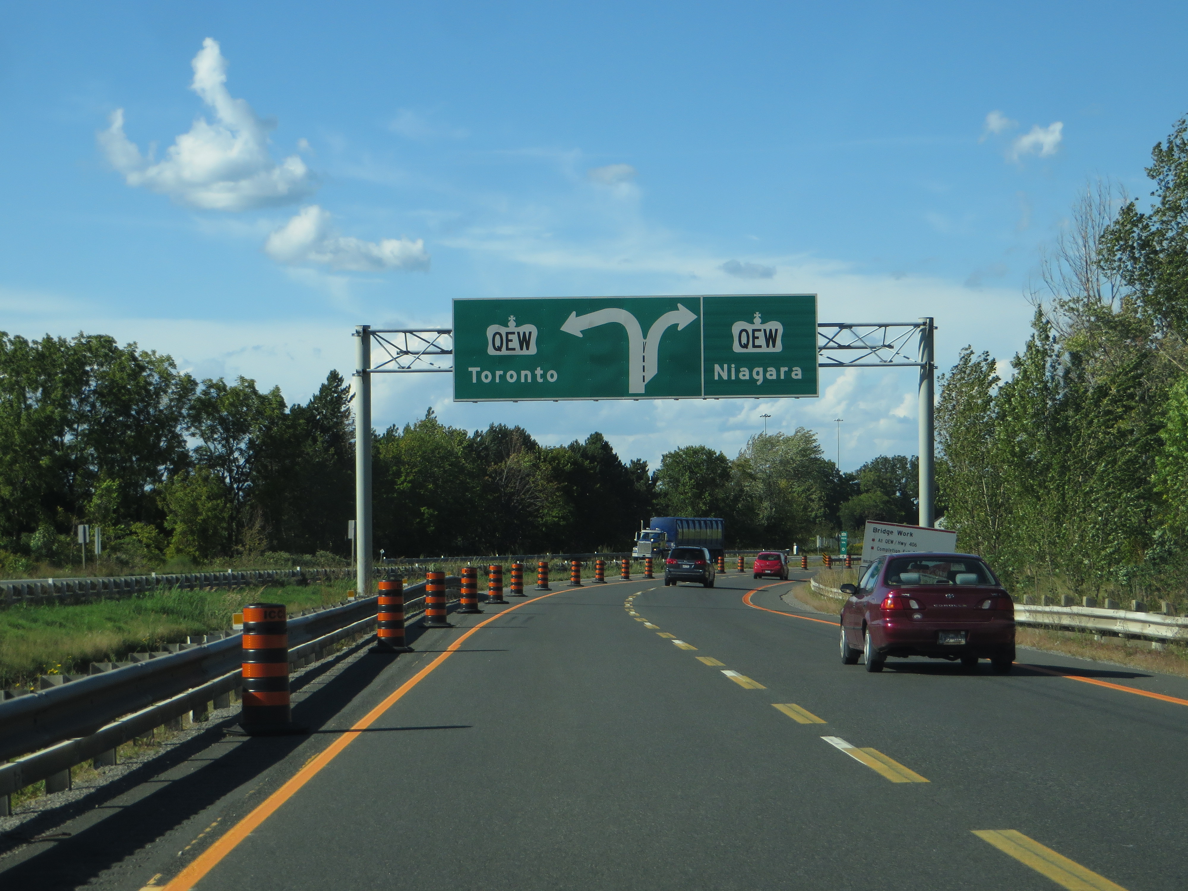
Heather Lane in St. Catharines is a two-lane, asphalted residential street. It runs in a north-south direction starting from Arbour Glen Drive and ends at Maracay Way.
- Road Type
- residential street
- Lanes
- 2
- Route
- north-south
Image
Convenience stores
Cafés
Water shops
Variety stores
Restaurants
Pharmacy
Nutrition supplements shops
Photography shops
Fast food restaurants
Bank
Furniture shops
Petrol stations
Roads nearby
Erion RoadMartindale Convenience
150 m
Maracay Way150 m
Brucehill Court200 m
Harvest Grove Crescent250 m
Arbour Glen Drive250 m
Countryside Drive250 m
Francis Creek Boulevard300 m
Chessington Street350 m
Nadine Crescent350 m
Heritage Court350 m
Woodbridge Drive350 m
Hannover Drive400 m
Captain Tenbrock Terrace400 m
Dunbar Crescent400 m
First Street LouthFourth Avenue Cardiac Clinic, St. Catharines Dental Centre, Aegis MD, Sound Hearing Care, Fabio Pizza, Union Jack, Urban Cravings, Edible Options, Mr. Sub, Thaï Express, Sunset Grill
400 m
Harvest Oak Drive450 m
Highway 406Sherwin-Williams, Liv Nail Lounge, Malia Hair Salon
450 m
Breckenridge Boulevard450 m
Endicott Drive450 m
Afton Court550 m
Sutton Court550 m
Sarah Court550 m
Stoney Brook Crescent600 m
Huntington Lane600 m
Willow Bank Common650 m
Vansickle RoadPenner Jewellers, Dr. Bernstein Diet & Health Clinic, By George, Party Max, Absolute Soccer Life, Water Superstore, Big Marco's Restaurant & Pizzeria, Best Buy, Vansickle Guardian Pharmacy, Walk-in Clinic, Pet Valu, Beauty Supply Outlet, GNC, Trishco Nails, Freedom Mobile, First Choice Haircutters, EB Games, Grazi Cafe, Simply Nails, Skin Vitality Medical Clinic
700 m
Black Walnut Common700 m
Third Avenue Louth700 m
South Service Road750 m
Tuscany Court750 m
Tulip Tree Common750 m
Corporate Park Drive800 m
Third Street Louth800 m
Wilholme Drive800 m
Queen Elizabeth WayThe Car Doctor
800 m
Wilholme Avenue800 m
2nd Avenue850 m
President Court900 m
Brooklyn Court1,0 km
Martindale RoadDollarama, Domino's, Starbucks, Bamboo Natural Food Market, RBC, Avondale Food Store, The Upper Deck
1,1 km
Commercial areas nearby
Henley Corporate Centre750 m
Commercial buildings nearby
250850 m
Fire stations nearby
Fire Station Number 5750 m
Grass nearby
Westport Golf Practice & Training Facility1,0 km
Office buildings nearby
Meridian900 m
Places of worship nearby
Harbour Fellowship Church650 m
Jubilee Fellowship Christian Reformed Church800 m
Retail areas nearby
Huntington Square550 m
Sands nearby
bunker for practise1,1 km
Public transport map St. Catharines Legend
| Railway | |
| Bus | |
| Tram |
Cycling map St. Catharines Legend
| Cycle path | |
| Cycle lane on road | |
| Cycling on bus lane | |
| Bicycle street | |
| Cyclists allowed | |
| Cyclists allowed, good surface | |
| No cycling | |
| Cobblestones |
| Long-distance cycle route | (depending on scale) | |
| Long-distance cycle route |
Walking map St. Catharines Legend
| Path |
| Long-distance hiking trail | (depending on scale) | |
| Long-distance hiking trail | ||
| No pedestrians |