
Clifton Street in Thorold
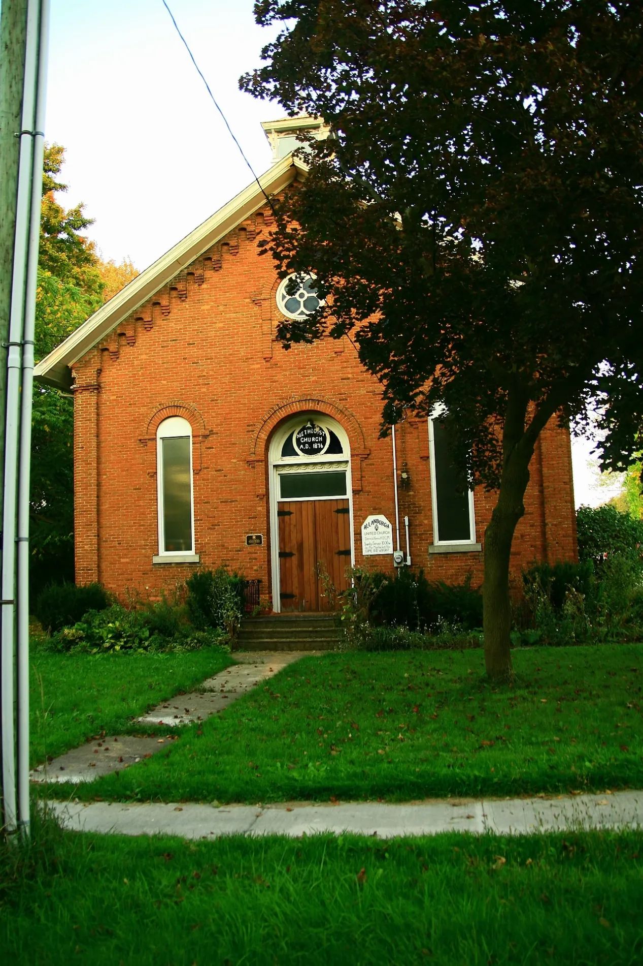
Clifton Street in Thorold is a two-lane residential street and runs in a north-south direction and ends at Henderson Street, while the other end is a cul-de-sac.
- Road Type
- residential street
- Lanes
- 2
- Route
- north-south
Image
Fast food restaurants
Farm shops
Garden centres
Ice cream parlours
Beauty salons
Car repair shops
Off-licences
Petrol stations
Second-hand shops
Cafés
Pet groomings
Rental shops
Restaurants
Convenience stores
Motel
Clothing shops
Game shops
Post offices
Pubs
Roads nearby
Henderson StreetAllanburg
150 m
Highway 20Renewed Thrift & Vintage, Express Inn, Pioneer, Esso, Subway, Small Scale Farms
300 m
Falls Street350 m
Centre Street350 m
Lundy's Lane400 m
Gainer Street500 m
Anchor Road550 m
Holland RoadHowells Pumpkin Farm
600 m
Allanport Road750 m
Barron Road1,2 km
Egerter Road1,4 km
Glover Road1,5 km
Davis Road1,6 km
Frontier Drive1,6 km
Ovation Drive1,6 km
Allanburg Road1,7 km
Buttercream Avenue1,7 km
Victory Drive1,7 km
Hodgkins Avenue1,8 km
Sugar May Avenue1,8 km
Uppers Lane1,8 km
Vanilla Trail1,8 km
Charm Place1,8 km
Explorer Way1,8 km
Concord Drive1,8 km
Barker Parkway1,9 km
Lynn Crescent1,9 km
Ever Sweet Way1,9 km
Sun Haven Lane1,9 km
Polloway Road1,9 km
Cresthaven Heights1,9 km
Pioneer Village Crescent1,9 km
Spring Crest Way2,0 km
Brighton Lane2,0 km
Windle Village Crescent2,0 km
Selection Heights2,1 km
Velvet Way2,1 km
Delicious Court2,1 km
Homestead Way2,1 km
Sapphire Way2,1 km
Turner Road2,1 km
Community centres nearby
Allanburg Community Centre400 m
Constructions nearby
Calderwood1,5 km
Fire stations nearby
Thorold Station 21,6 km
Parks nearby
Allanburg Community Park350 m
Railway lines nearby
Thorold Spur350 m
Stamford Subdivision950 m
Canal Spur2,0 km
Other nearby
Allanburg TS1,8 km
Public transport map Thorold Legend
| Railway | |
| Bus | |
| Tram |
Cycling map Thorold Legend
| Cycle path | |
| Cycle lane on road | |
| Cycling on bus lane | |
| Bicycle street | |
| Cyclists allowed | |
| Cyclists allowed, good surface | |
| No cycling | |
| Cobblestones |
| Long-distance cycle route | (depending on scale) | |
| Long-distance cycle route |
Walking map Thorold Legend
| Path |
| Long-distance hiking trail | (depending on scale) | |
| Long-distance hiking trail | ||
| No pedestrians |