
Superior Road in Welland
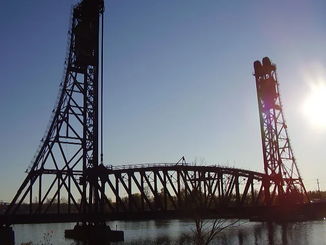
Superior Road in Welland is a road (under construction) and it runs in an east-west direction starting from Bay Avenue and ends at Michigan Street.
- Road Type
- building under construction
- Route
- east-west
Image
Petrol stations
Water shops
Pet shops
Supermarkets
Schlüsseldienste
Fast food restaurants
Library
Post offices
Furniture shops
Restaurants
Artwork
Hairdressers
Hotels
Off-licences
Computer shops
Roads nearby
Huron Street100 m
Saint Clair Drive150 m
Bay Avenue200 m
Erie Street300 m
Michigan Street350 m
Richmond Street500 m
Forks Road600 m
North Crescent Drive600 m
Eastbridge Avenue600 m
Crescent Drive650 m
Stern Drive700 m
Port Crescent700 m
Keelson Street700 m
Logan AvenueDain City
750 m
Springfield Street750 m
Masters Street750 m
Canal Bank Street850 m
Harvard Court850 m
James Street850 m
Parkside Street850 m
Tumblewood Place850 m
Downriver Drive850 m
Rudder Road900 m
Cottonwood Crescent900 m
Aviron Crescent900 m
Varsity Drive950 m
Regatta Drive950 m
Rowlock Street950 m
Glenwood Parkway950 m
Colborne Street950 m
Stanley Street1000 m
Starboard Crescent1000 m
Elm StreetFlavortown
1,0 km
Henley Court1,0 km
Thornton Avenue1,0 km
Kingsway1,1 km
Talbot Avenue1,1 km
Townline Tunnel Road1,4 km
Humberstone Road1,6 km
Southworth StreetWelland Public Library - Diamond Trail Branch
1,6 km
Marc Boulevard1,7 km
Gordon Street1,8 km
Wright Street1,8 km
Harriet Street1,9 km
Industrial areas nearby
Verbio Diesel Canada550 m
Parks nearby
Glennwood Park850 m
Petrol stations nearby
Fast Stop250 m
Railway lines nearby
Canal Spur400 m
Hamilton Subdivision1,5 km
Public transport map Welland Legend
| Railway | |
| Bus | |
| Tram |
Cycling map Welland Legend
| Cycle path | |
| Cycle lane on road | |
| Cycling on bus lane | |
| Bicycle street | |
| Cyclists allowed | |
| Cyclists allowed, good surface | |
| No cycling | |
| Cobblestones |
| Long-distance cycle route | (depending on scale) | |
| Long-distance cycle route |
Walking map Welland Legend
| Path |
| Long-distance hiking trail | (depending on scale) | |
| Long-distance hiking trail | ||
| No pedestrians |