
Jaclyn Street in Georgina, Ontario
Jaclyn Street in Georgina is a two-lane, asphalted residential street. It runs in a north-south direction starting from Carolyn Street and crosses Douglas Street and Elizabeth Street. It ends in a cul-de-sac.
- Road Type
- residential street
- Lanes
- 2
- Route
- north-south
Image
Convenience stores
Tourist information offices
Fast food restaurants
Off-licences
Bus stops
Restaurants
Second-hand shops
Cafés
Petrol stations
Pharmacy
Roads nearby
Felix Street200 m
Seaward Drive250 m
Bedford Road300 m
George Road300 m
Park Road350 m
Carolyn Street350 m
Douglas Street400 m
Faimira Drive400 m
Elizabeth Street400 m
Evans Avenue550 m
Palmira Drive550 m
Len Donner Street550 m
Mourning Dove Road600 m
Stadacona Avenue650 m
Doggart Crescent650 m
Rose Street650 m
Schortinghuis Street700 m
Lynn Street700 m
Shelson Place750 m
Charpentier Drive750 m
Daniel Armstrong Street800 m
David Graham Street900 m
Sandra Drive900 m
Mums AvenuePark's Variety
900 m
Sir John Colbourne Circle900 m
Dunkirk Avenue900 m
Dorothy Avenue1000 m
Hedge Road1,0 km
Joan Street1,1 km
Maple Avenue1,1 km
Black River RoadVirginia Beach Marina, Georgina Public Library - Peter Gzowski Branch, Boondocks Eatery
1,2 km
Boathouse Lane1,2 km
Sibbald Crescent1,5 km
Maplewood Lane1,5 km
Larsen Avenue1,5 km
Birch Knoll Road1,6 km
Buildings nearby
Sibbald Point Provincial Park Main Office450 m
Campsite nearby
Sibbald Point - Meadowlands Campground600 m
Sibbald Point - Cedargrove Campground650 m
Sibbald Point - Hardwoods Campground850 m
Sibbald Point - Beavermeade Campground850 m
Sibbald Point - Horseshoe Campground1000 m
Sibbald Point - Lakeside Campground1,0 km
Cemeteries nearby
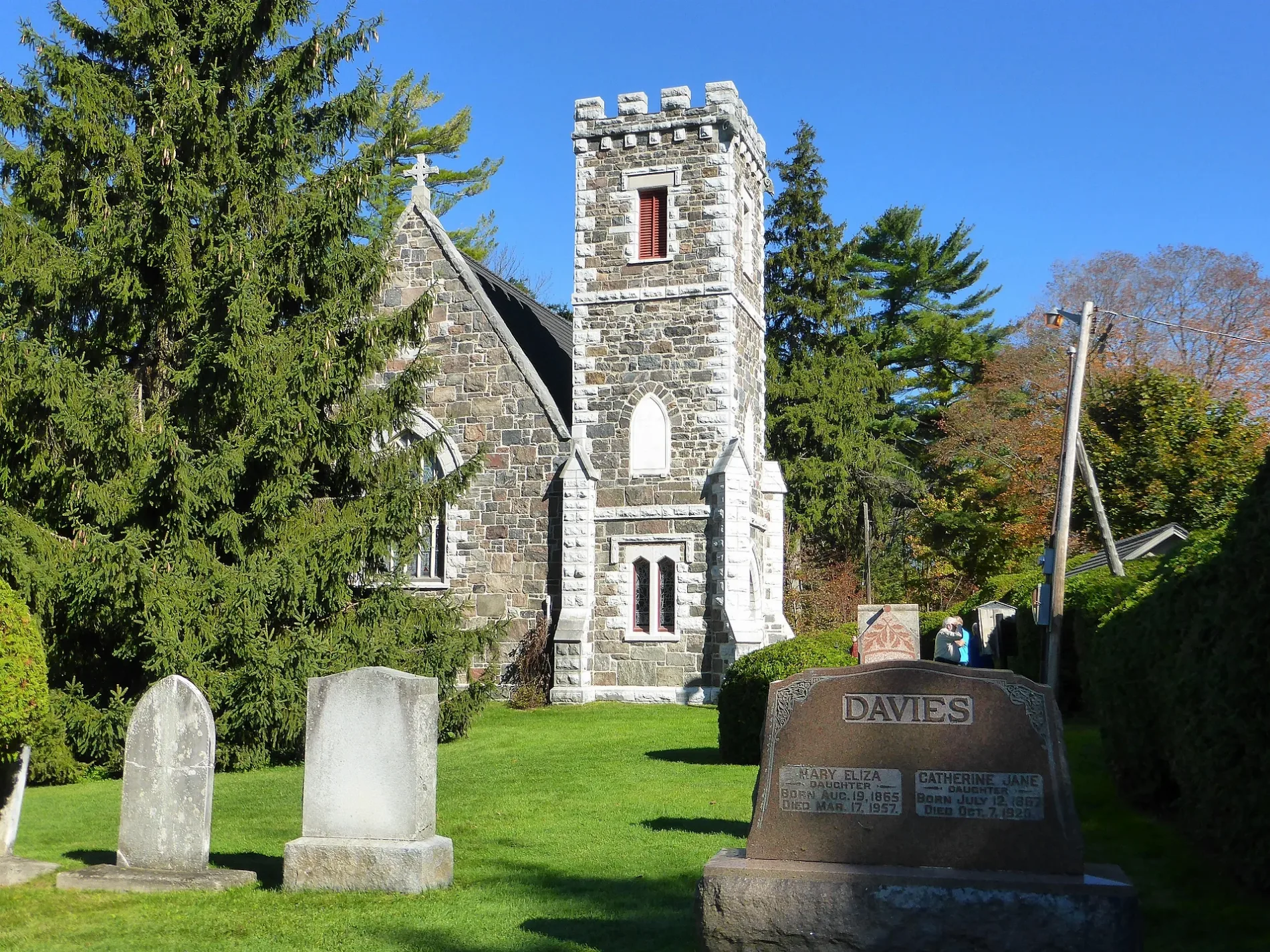
St. George's Cemetery500 m
Commercial buildings nearby
Sibbald Point Gate House1000 m
Museum nearby
Eildon Hall900 m
Nature reserves nearby
Sibbald Point Provincial Park1,3 km
Places of worship nearby
St. George's Church450 m
Sports centres nearby
3-S Go-Karts1,2 km
Public transport map Georgina Legend
| Railway | |
| Bus | |
| Tram |
Cycling map Georgina Legend
| Cycle path | |
| Cycle lane on road | |
| Cycling on bus lane | |
| Bicycle street | |
| Cyclists allowed | |
| Cyclists allowed, good surface | |
| No cycling | |
| Cobblestones |
| Long-distance cycle route | (depending on scale) | |
| Long-distance cycle route |
Walking map Georgina Legend
| Path |
| Long-distance hiking trail | (depending on scale) | |
| Long-distance hiking trail | ||
| No pedestrians |