
Tobacco Trail in Regional Municipality of York
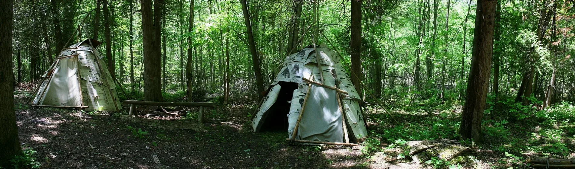
Tobacco Trail in York Region is an unpaved path. The path is a hiking trail. It runs in a northeast-southwest direction and ends at Boozhoo Miikan Hello Road, while the other end is a cul-de-sac.
- Bicycle
- no
- Road Type
- path
- Route
- northeast-southwest
Image
Roads nearby
Sweetgrass TrailNanabush Trails
300 m
Sage Trail400 m
Boozhoo Miikan Hello Road500 m
Cedar Trail500 m
Strawberry Road700 m
Bear Road700 m
Moonyaang Landing700 m
Chief Joseph Snake Road900 m
Eagle Road1,0 km
Root Road1,9 km
Fox Road2,3 km
Blackbird Road2,7 km
Blue Heron DriveMcRae Beach
2,9 km
Vine Avenue2,9 km
Mellon Avenue3,0 km
Laviolette Avenue3,0 km
Ashwood Avenue3,1 km
Loon Road3,1 km
Moores Beach Road3,3 km
Lee Farm Lane3,3 km
Bayvista Lane3,3 km
Black River RoadVirginia Beach Marina, Georgina Public Library - Peter Gzowski Branch, Boondocks Eatery
3,5 km
Doyle Beach Lane3,5 km
Lyall Lane3,6 km
McRae Beach South3,7 km
Della Street3,7 km
Virginia Boulevard3,7 km
Water Fringe Drive3,7 km
Woodfield Drive3,8 km
Lakeshore Road3,9 km
Burnie Road3,9 km
Isle Vista Drive3,9 km
Sunset Beach Road3,9 km
Kay Avenue3,9 km
Daisy Avenue4,0 km
Lambrook Drive4,0 km
Hadden Road4,0 km
maidenhair fern trail4,0 km
Blue Jay Boulevard4,1 km
Cronsberry Road4,2 km
Body of waters nearby
The Lagoon4,0 km
Campsite nearby
Sibbald Point - Butternut Campground3,4 km
Sibbald Point - Lakeside Campground3,9 km
Sibbald Point - Crossroads Campground3,9 km
Houses nearby
83 kay avenue, pefferlaw, on3,7 km
Museum nearby
Eildon Hall3,7 km
Nature reserves nearby
Sibbald Point Provincial Park3,3 km
Other nearby
Georgina Island / Waaseyaagmiing2,2 km
Aazhaawe3,3 km
Public transport map York Region Legend
| Railway | |
| Bus | |
| Tram |
Cycling map York Region Legend
| Cycle path | |
| Cycle lane on road | |
| Cycling on bus lane | |
| Bicycle street | |
| Cyclists allowed | |
| Cyclists allowed, good surface | |
| No cycling | |
| Cobblestones |
| Long-distance cycle route | (depending on scale) | |
| Long-distance cycle route |
Walking map York Region Legend
| Path |
| Long-distance hiking trail | (depending on scale) | |
| Long-distance hiking trail | ||
| No pedestrians |