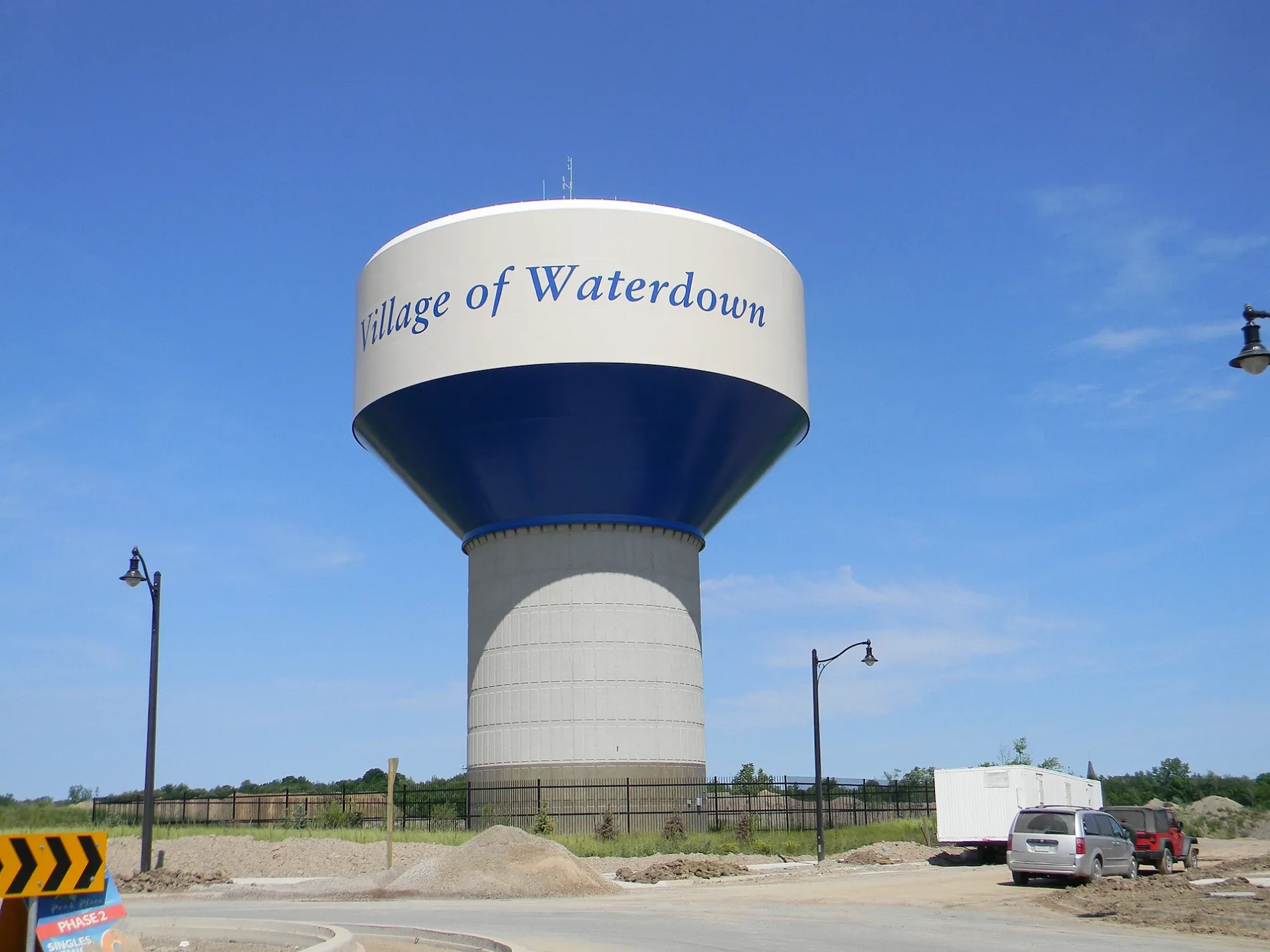
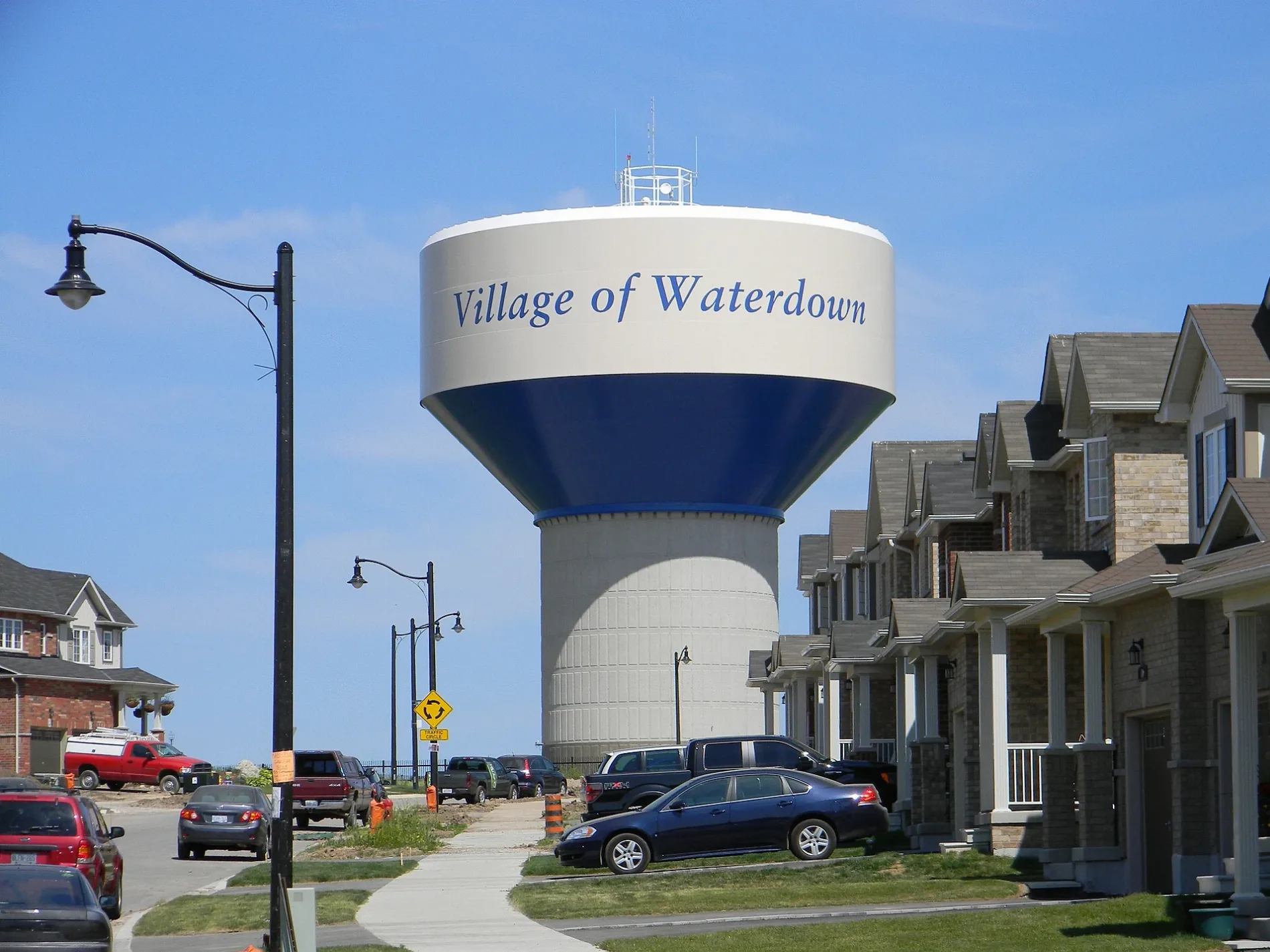
Hamilton, Ontario

This City map of Hamilton, Ontario, shows streets, paths and places across the region in Canada. Hamilton lies in the Golden Horseshoe on the western shore of Lake Ontario and covers approximately 1,138.1 square kilometres at an elevation of about 75 metres. The population increased from 519,949 in 2011 to 569,353 in 2021, and the city was founded in 1846. Hamilton uses the 905 telephone area code and postal codes L0R, L8E–L8W, L9A–L9C, L9G–L9H and L9K.

Fifty Point

Fifty Point is mapped as an administrative level 10 subregion of Hamilton on the Lake Ontario side of the city. The area belongs to Ontario’s Golden Horseshoe, the densely settled corridor along Lake Ontario. Hamilton’s regional map covers approximately 1,138.1 square kilometres and uses the 905 telephone area code.
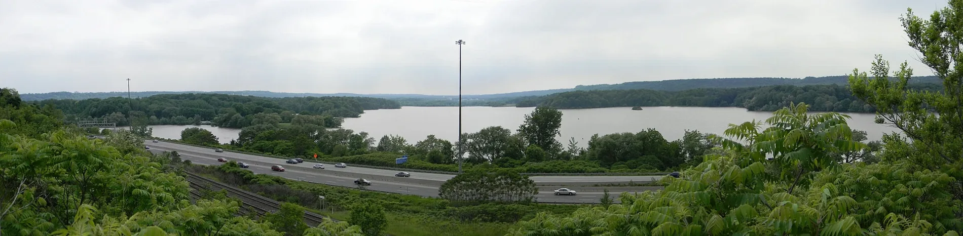
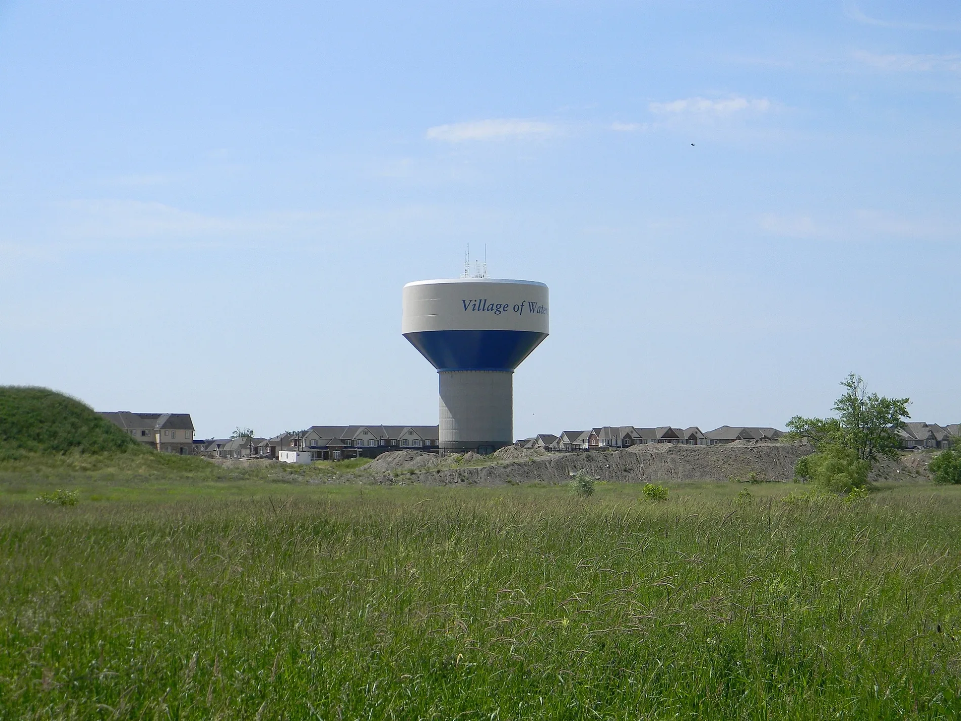
Winona North

Winona North is an administrative level 10 subregion within Hamilton, Ontario. It is located in the eastern part of the city, near the Lake Ontario shoreline and the communities associated with Stoney Creek. Hamilton had 569,353 residents in 2021, compared with 519,949 in 2011.

Fruitland

Fruitland is mapped as an administrative level 10 subregion of Hamilton in the Golden Horseshoe. Its location is part of the urban area between Lake Ontario and the higher land farther south in Hamilton. The city’s postal-code range includes L8E–L8W and the telephone area code is 905.

Copetown East

Copetown East is an administrative level 10 subregion in Hamilton, Ontario. It lies in the rural western part of the city, which extends across approximately 1,138.1 square kilometres. Hamilton was established as a city in 1846 and is named after merchant and politician George Hamilton.

East Mountain Area

East Mountain Area is mapped at administrative level 10 within Hamilton. The subregion belongs to the elevated land south of the central urban area, while Hamilton as a whole has a recorded elevation of about 75 metres. The city is situated on Lake Ontario in southern Ontario.

Copetown

Copetown is an administrative level 10 subregion in western Hamilton. The surrounding municipality combines rural areas with the urban centres of Hamilton, Dundas, Ancaster, Stoney Creek and other communities. The region had 569,353 residents in 2021.

Trillium

Trillium is mapped as an administrative level 10 subregion of Hamilton, Ontario. It forms part of a city whose territory reaches from Lake Ontario into the Niagara Escarpment area. Hamilton covers about 1,138.1 square kilometres and uses postal codes including L9A–L9C.

Bayview

Bayview is an administrative level 10 subregion in Hamilton on the Lake Ontario side of the Golden Horseshoe. The city’s waterfront setting connects the regional map with the lake shore and Hamilton Harbour. Hamilton’s 2021 population was 569,353, following growth from 519,949 in 2011.

Lakeshore

Lakeshore is mapped as an administrative level 10 subregion of Hamilton, Ontario. Its name identifies a location associated with the Lake Ontario side of the city, which occupies part of the Golden Horseshoe. Hamilton’s total area is approximately 1,138.1 square kilometres.

Confederation Park

Confederation Park is an administrative level 10 subregion in Hamilton near the Lake Ontario waterfront. The area is part of the eastern lakeside urban zone, alongside Stoney Creek and other Hamilton communities. The city’s postal codes in this part of Ontario include L8E–L8W.

Hamilton Beach

Hamilton Beach is mapped as an administrative level 10 subregion of Hamilton on the Lake Ontario shore. Its name refers to the waterfront setting of a city located in Ontario’s Golden Horseshoe. Hamilton was founded in 1846 and has the 905 telephone area code.

Winona South

Winona South is an administrative level 10 subregion in eastern Hamilton, Ontario. It belongs to the lakeside part of the municipality near Lake Ontario and the Stoney Creek area. Hamilton’s population reached 569,353 in 2021 after increasing by 49,404 people from 2011.

Jerseyville East

Jerseyville East is mapped at administrative level 10 within Hamilton. It is located in the western rural part of the municipality, away from the Lake Ontario waterfront. Hamilton’s territory covers about 1,138.1 square kilometres and includes postal code L0R.

Industrial

Industrial is an administrative level 10 subregion of Hamilton, Ontario. Hamilton is an important urban and industrial city on Lake Ontario within the Golden Horseshoe, with a regional area of approximately 1,138.1 square kilometres. The map uses the 905 area code and postal codes from L0R to L9K.

Summit

Summit is mapped as an administrative level 10 subregion in Hamilton. The name identifies a locality within a municipality that rises from the Lake Ontario shore toward higher ground, with a recorded regional elevation of 75 metres. Hamilton had 569,353 residents in 2021.

Dewitt

Dewitt is an administrative level 10 subregion of Hamilton, Ontario. It forms part of the city’s mapped territory in the Golden Horseshoe, where Hamilton extends along Lake Ontario. The municipality was founded in 1846 and is named after George Hamilton.

Highway Valley

Highway Valley is mapped at administrative level 10 within Hamilton. Its name identifies a locality connected with the city’s transport corridors, while Hamilton’s regional territory extends over approximately 1,138.1 square kilometres. The city is in Ontario and uses the 905 telephone code.

Guernsey

Guernsey is an administrative level 10 subregion in Hamilton, Ontario. It is included in the regional map of a city situated on Lake Ontario in the Golden Horseshoe. Hamilton’s population rose from 519,949 in 2011 to 569,353 in 2021.

Westmeria

Westmeria is mapped as an administrative level 10 subregion of Hamilton. The locality belongs to the broad municipal territory between Lake Ontario and the interior communities of western Hamilton. Postal codes for the region include L9G–L9H and L9K.

Skunk's Misery

Skunk's Misery is an administrative level 10 subregion in Hamilton, Ontario. The distinctive mapped name identifies a locality within the Golden Horseshoe, where Hamilton occupies approximately 1,138.1 square kilometres. The city was incorporated in 1846 and is associated with George Hamilton.

Poplar Park

Poplar Park is mapped at administrative level 10 within Hamilton. It forms part of a municipality whose northern boundary area faces Lake Ontario and whose urban territory extends southward across Ontario. Hamilton recorded 569,353 inhabitants in 2021.

South Meadow

South Meadow is an administrative level 10 subregion of Hamilton. The locality is part of the southern section of a city that reaches from Lake Ontario toward the Niagara Escarpment. Hamilton has a recorded regional elevation of 75 metres.

Corman

Corman is mapped as an administrative level 10 subregion in Hamilton, Ontario. It belongs to the regional territory of Hamilton in the Golden Horseshoe, a corridor centred on Lake Ontario. The city’s area is approximately 1,138.1 square kilometres.

Duff's Corners

Duff's Corners is an administrative level 10 subregion of Hamilton. The name identifies a mapped locality within a municipality that includes urban Hamilton and rural communities such as Copetown and Jerseyville. Hamilton uses postal code L0R as well as L8E–L8W and L9A–L9C.

Eastdale

Eastdale is mapped at administrative level 10 in Hamilton, Ontario. It is part of the eastern side of a city located on Lake Ontario, near the wider Stoney Creek area. Hamilton’s population grew by 49,404 between 2011 and 2021.

Kelly

Kelly is an administrative level 10 subregion within Hamilton. The locality is included in the city map of Ontario’s Golden Horseshoe, whose regional landscape extends from Lake Ontario to higher inland ground. Hamilton’s telephone area code is 905.

Stoney Creek

Stoney Creek is mapped as an administrative level 10 subregion of Hamilton on the eastern side of the city. The community lies beside Lake Ontario and is known for the Battle of Stoney Creek, fought on 6 June 1813 during the War of 1812. Hamilton’s 2021 population was 569,353.

Battlefield

Battlefield is an administrative level 10 subregion in Hamilton. It is associated with the Stoney Creek area, where the Battle of Stoney Creek took place on 6 June 1813. The locality lies within Hamilton’s approximately 1,138.1-square-kilometre territory in Ontario.

Shaver

Shaver is mapped as an administrative level 10 subregion of Hamilton, Ontario. It forms part of the municipality’s inland territory south of Lake Ontario and within the Golden Horseshoe. Hamilton was founded in 1846 and bears the name of George Hamilton.

Lynden

Lynden is an administrative level 10 subregion in western Hamilton. It is a rural locality within a municipality that extends from Lake Ontario across approximately 1,138.1 square kilometres. The region includes postal code L0R and has the 905 telephone area code.

Greenford

Greenford is mapped at administrative level 10 within Hamilton, Ontario. The locality belongs to the western and inland part of the city rather than the central Lake Ontario waterfront. Hamilton’s population was 569,353 in 2021.

Jerseyville West

Jerseyville West is an administrative level 10 subregion of Hamilton. It lies in the western rural area of the municipality, whose city territory includes both Lake Ontario shoreline and inland agricultural land. Hamilton’s regional elevation is recorded as 75 metres.

Corman

This separately mapped Corman entry is an administrative level 10 subregion of Hamilton. It is listed with its distinct map path within the Golden Horseshoe region of Ontario. Hamilton covers approximately 1,138.1 square kilometres and had 569,353 residents in 2021.

Kentley Drive

Kentley Drive is mapped as an administrative level 10 subregion in Hamilton. The name identifies a locality within the urban and suburban territory of a city on Lake Ontario. Hamilton uses postal codes L8E–L8W, L9A–L9C, L9G–L9H and L9K.

Alberton North

Alberton North is an administrative level 10 subregion of Hamilton, Ontario. It is part of the northern section of the city’s mapped territory, which reaches Lake Ontario and includes the Golden Horseshoe. The city’s population increased from 519,949 in 2011 to 569,353 in 2021.

Nashdale

Nashdale is mapped at administrative level 10 within Hamilton. The locality belongs to an Ontario city with an area of approximately 1,138.1 square kilometres and an elevation of about 75 metres. Hamilton was founded in 1846.

Lakeley

Lakeley is an administrative level 10 subregion in Hamilton. Its name identifies a mapped locality within a city situated on Lake Ontario in the Golden Horseshoe. Hamilton’s 905 telephone code serves the region.

Alberton South

Alberton South is mapped as an administrative level 10 subregion of Hamilton, Ontario. It forms part of the southern municipal area between the Lake Ontario shore and the higher interior land. Hamilton had 569,353 residents in 2021.

Grayside

Grayside is an administrative level 10 subregion within Hamilton. It is included in the city map of a municipality extending across approximately 1,138.1 square kilometres in southern Ontario. The region includes postal code L9K.

Riverdale East

Riverdale East is mapped at administrative level 10 in Hamilton, Ontario. The name identifies an eastern locality within a city whose northern side borders Lake Ontario. Hamilton’s population rose by 49,404 people between 2011 and 2021.

Riverdale West

Riverdale West is an administrative level 10 subregion of Hamilton. It lies within the western part of the mapped Riverdale area in a city founded in 1846. Hamilton is named after Canadian merchant and politician George Hamilton.

Gersholme

Gersholme is mapped as an administrative level 10 subregion in Hamilton. The locality belongs to Ontario’s Golden Horseshoe and to a municipality located on Lake Ontario. Hamilton’s total area is approximately 1,138.1 square kilometres.

Nash North

Nash North is an administrative level 10 subregion of Hamilton, Ontario. It forms part of the northern side of the mapped Nash area within the city’s urban territory. Hamilton uses the 905 telephone code and recorded 569,353 residents in 2021.

Nash South

Nash South is mapped at administrative level 10 within Hamilton. It represents the southern counterpart to Nash North in a municipality extending inland from Lake Ontario. Hamilton’s regional elevation is approximately 75 metres.

Felker

Felker is an administrative level 10 subregion in Hamilton, Ontario. It is part of the city’s eastern and inland territory associated with communities such as Stoney Creek. Hamilton’s area covers approximately 1,138.1 square kilometres.

Highland

Highland is mapped as an administrative level 10 subregion of Hamilton. The name corresponds to a locality within a city whose terrain rises southward from Lake Ontario. Hamilton had 519,949 residents in 2011 and 569,353 in 2021.

Trinity

Trinity is an administrative level 10 subregion in Hamilton, Ontario. It belongs to a city founded in 1846 and situated in the Golden Horseshoe on Lake Ontario. Postal codes in the region include L9A–L9C.

Valley Park

Valley Park is mapped at administrative level 10 within Hamilton. It is part of the inland urban area south of Lake Ontario, within a municipality measuring approximately 1,138.1 square kilometres. Hamilton’s telephone area code is 905.

Albion

Albion is an administrative level 10 subregion of Hamilton. It is included in the mapped territory of an Ontario city whose northern boundary reaches Lake Ontario. Hamilton’s 2021 population was 569,353.

Vincent

Vincent is mapped as an administrative level 10 subregion in Hamilton, Ontario. The locality forms part of the city’s interior area within the Golden Horseshoe. Hamilton’s postal-code coverage includes L9A–L9C and L9G–L9H.

Red Hill

Red Hill is an administrative level 10 subregion of Hamilton. It is located within the city’s eastern urban area, where Red Hill Valley and Red Hill Valley Parkway are established geographic and transport references. Hamilton is situated on Lake Ontario and had 569,353 residents in 2021.

Lower King's Forest

Lower King's Forest is mapped at administrative level 10 within Hamilton. It identifies a lower section of the King’s Forest area in the southern part of the city, away from the Lake Ontario shoreline. Hamilton’s regional territory extends over approximately 1,138.1 square kilometres.

Albion Falls

Albion Falls is an administrative level 10 subregion in Hamilton and shares its name with the well-known waterfall on the Niagara Escarpment. The waterfall is formed by the Red Hill Creek and has a classical cascade profile. Hamilton’s city territory extends from Lake Ontario to the escarpment landscape.

North Hannon

North Hannon is mapped as an administrative level 10 subregion of Hamilton. It forms the northern part of the Hannon area within the southern urban zone of the city. Hamilton’s elevation is recorded at about 75 metres and its telephone code is 905.

Trinity

This separately mapped Trinity entry is an administrative level 10 subregion of Hamilton. It has a distinct map path from the other Trinity entry and belongs to the same Ontario municipality on Lake Ontario. Hamilton covers approximately 1,138.1 square kilometres.

South Hannon

South Hannon is an administrative level 10 subregion in Hamilton, Ontario. It identifies the southern part of Hannon within the inland area south of the central city. Hamilton’s population grew from 519,949 in 2011 to 569,353 in 2021.

West Hannon

West Hannon is mapped at administrative level 10 within Hamilton. It forms the western part of the Hannon locality in a city that extends southward from Lake Ontario. Hamilton was founded in 1846 and is named for George Hamilton.

Rymal

Rymal is an administrative level 10 subregion of Hamilton, Ontario. It is associated with the southern part of the city, where Rymal Road crosses the urban area south of Lake Ontario. Hamilton’s postal codes include L9A–L9C and L9K.

Trenholme

Trenholme is mapped as an administrative level 10 subregion in Hamilton. The locality belongs to the southern urban territory of a city situated in Ontario’s Golden Horseshoe. Hamilton’s 2021 population was 569,353 and its area is approximately 1,138.1 square kilometres.

Carluke

Carluke is an administrative level 10 subregion of Hamilton, Ontario. It is part of the rural and inland area west of the central city, within a municipality that reaches Lake Ontario. Hamilton uses postal code L0R and the 905 telephone area code.

Data sources: OpenStreetMap (ODbL), Wikidata (CC0)

Hamilton – Facts

Inhabitants 569353
Area 1138110000 m²
Subregions 209
Named after George Hamilton
Inception 1846
Elevation 75 m
Located in Ontario
Postal code L0R, L8E-L8W, L9A-L9C, L9G-L9H, L9K
Country Canada
Body of water Lake Ontario
Official name City of Hamilton
Described by source The Nuttall Encyclopædia, Small Brockhaus and Efron Encyclopedic Dictionary, Brockhaus and Efron Encyclopedic Dictionary, Encyclopædia Britannica 11th edition, The New Student's Reference Work, Great Soviet Encyclopedia (1926–1947)
Part of Niagara Peninsula, Greater Toronto and Hamilton Area
Website https://www.hamilton.ca/

Data source: Wikidata (CC0)

Roads in Hamilton, Ontario