
Montreal River in Unorganized North Algoma District
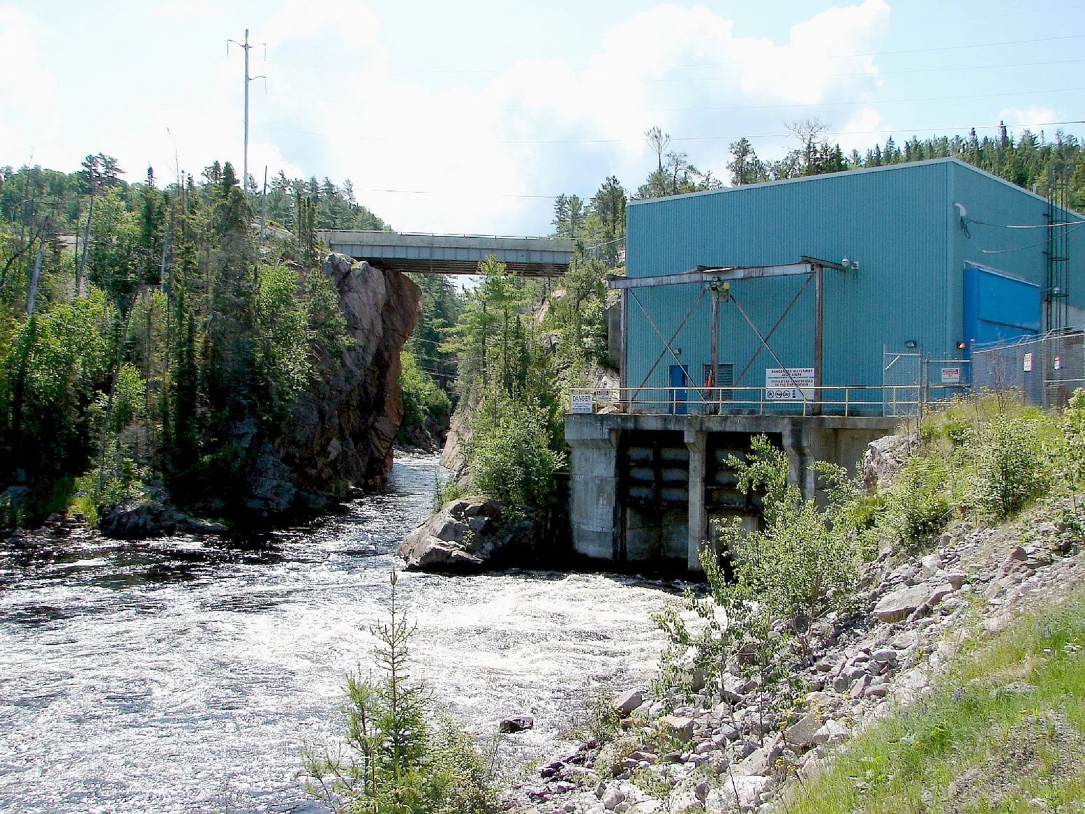
Montreal River in Unorganized North Algoma is a river. Montreal River also exists in Timiskaming District. Ⓦ.
- Waterway Type
- river
Image
Tourist information offices
Picnic site
Petrol stations
Hotels
Attraction
Gift shops
Variety stores
Public toilet
Campsite
Viewpoint
Off-licences
Restaurants
Community centre
Roads nearby
Trail's End Road2,5 km
Twilight Road2,9 km
Ded End3,6 km
Through Road5,4 km
Dead End6,1 km
Highway 17Fishing Moose Lodge, Smokey Point Access Trail, Restroom, Voyageur Pump, The Voyageur's Lodge and Cookhouse, Jones Landing, Havilland, CAN-OP, LCBO, Halfway Lodge, Montreal River Harbour, Agawa Crafts, Canadian Carver, Boondock camping site., Karalash Corners, Harmony Beach, Alona Bay
6,4 km
Wind Turbine Drive8,5 km
Body of waters nearby
Beta Lake1,6 km
Gamma Lake1,8 km
Queminico Lake5,6 km
Alpha Lake7,1 km
Huff Lake8,3 km
Islay Lake8,4 km
Bow Lake9,0 km
Round Lake9,1 km
Buildings nearby
Hogg Generating Station1,5 km
Andrews Generating Station2,5 km
Gartshore Generating Station4,9 km
Nature reserves nearby
Montreal River Provincial Park1,9 km
Streams nearby
Metheany Creek2,8 km
Alona Bay Creek6,2 km
Negick Creek8,3 km
Dobson's Creek9,1 km
Little Batchawana River9,2 km
Other nearby
Ossifrage Island7,2 km
| Length | 130 |
|---|---|
| Located in | Ontario |
| Country | Canada |
| Origin | Montreal Lake |
 Public transport map Unorganized North Algoma Legend
| Railway | |
| Bus | |
| Tram |
 Cycling map Unorganized North Algoma Legend
| Cycle path | |
| Cycle lane on road | |
| Cycling on bus lane | |
| Bicycle street | |
| Cyclists allowed | |
| Cyclists allowed, good surface | |
| No cycling | |
| Cobblestones |
| Long-distance cycle route | (depending on scale) | |
| Long-distance cycle route |
 Walking map Unorganized North Algoma Legend
| Path |
| Long-distance hiking trail | (depending on scale) | |
| Long-distance hiking trail | ||
| No pedestrians |