
SuperDARN (Kapuskasing) in Unorganized North Cochrane District
SuperDARN (Kapuskasing) in Unorganized North Cochrane is a research institute (Virginia Polytechnic Institute and State University (United States)) 🌐. SuperDARN (Kapuskasing) is also known as Super Dual Auroral Radar Network. SuperDARN (Kapuskasing) is near Sylvain Road. Ⓦ.
- Alternative Name
- Super Dual Auroral Radar Network
- Amenity
- research institute
- Land Use
- meadow
- Operator
- Virginia Polytechnic Institute and State University (United States)
- Website
- http://superdarn.org/
Image
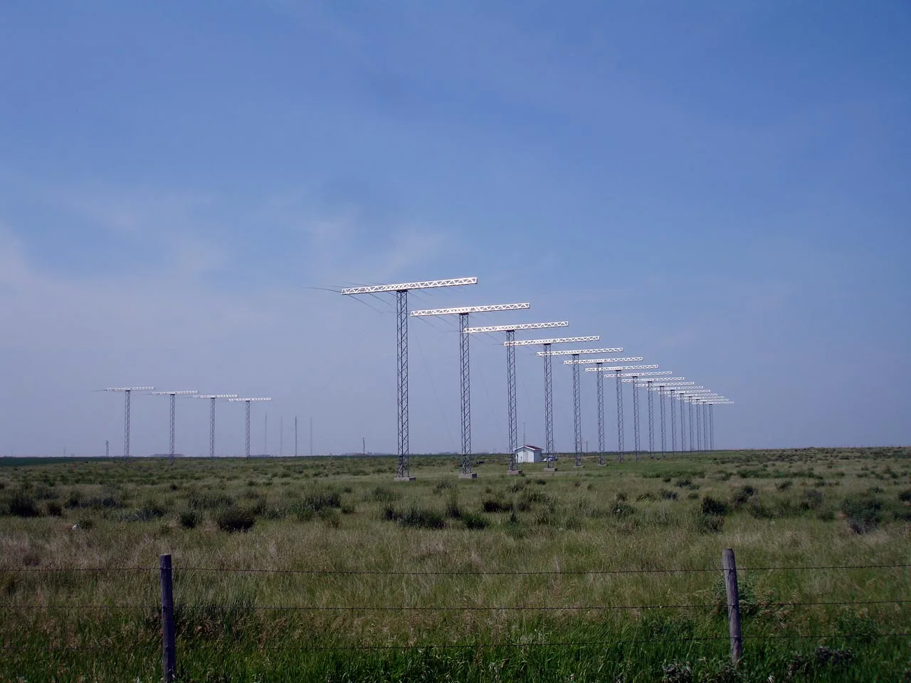
Shelter
Tourist information offices
Restaurants
Attraction
Petrol stations
Platforms
Roads nearby
Sylvain Road250 m
Highway 11Kitigan, Potter, Glenomo
1000 m
Ouellette Road1000 m
Duplex Road1,7 km
Government RoadChuck's Roadhouse Bar & Grill, Papa Franco's Restaurant, Petro-Canada, Drisdale Variety, La P'tite Tackle Shop, Lecours Motor Sales, OK Tire, M&M Food Market, Esso, O'Briens Classic Grill, Mac's, Shell, Toppers Pizza, Subway, Albert Flooring & Remodelling, Kingdom Hall of Jehovah's Witnesses, Val Albert Motors, X Stream Carwash
2,5 km
Clear Lake Road North3,0 km
Gurney Road3,1 km
Clear Lake Road South3,2 km
Rivard Road3,3 km
Swanson Road3,5 km
Flying J Travel Center3,6 km
Gough Road3,7 km
Clear Lake Road N4,1 km
Clear Lake Road S4,5 km
Body of waters nearby
Proulx Lake2,6 km
Guenette Lake2,7 km
Commercial buildings nearby
Ron's Repair Shop1,7 km
RDS Enterprises3,1 km
3923,8 km
3764,0 km
Convenience stores nearby
4103,7 km
Fast food restaurants nearby
A&W3,5 km
Houses nearby
5501,9 km
5481,9 km
5461,9 km
5442,0 km
5422,0 km
5382,5 km
4723,0 km
4563,2 km
4543,3 km
4503,3 km
4483,3 km
4463,3 km
4443,4 km
4423,4 km
4453,4 km
3704,1 km
3684,2 km
3664,2 km
3644,2 km
4584,3 km
Industrial buildings nearby
Kap Machine Ship & Welding Ltd3,7 km
Motel nearby
Chain of Lakes Motel3,1 km
Super 83,5 km
Places of worship nearby
4523,3 km
Railway lines nearby
Kapuskasing Subdivision2,6 km
Streams nearby
Bass Creek1,1 km
O'Brien Creek3,3 km
| Has part | Unwin Radar |
|---|
Public transport map Unorganized North Cochrane Legend
| Railway | |
| Bus | |
| Tram |
Cycling map Unorganized North Cochrane Legend
| Cycle path | |
| Cycle lane on road | |
| Cycling on bus lane | |
| Bicycle street | |
| Cyclists allowed | |
| Cyclists allowed, good surface | |
| No cycling | |
| Cobblestones |
| Long-distance cycle route | (depending on scale) | |
| Long-distance cycle route |
Walking map Unorganized North Cochrane Legend
| Path |
| Long-distance hiking trail | (depending on scale) | |
| Long-distance hiking trail | ||
| No pedestrians |