
Bonnechere River in Unorganized South Nipissing, Ontario
Bonnechere River in Unorganized South Nipissing is a river. Ⓦ.
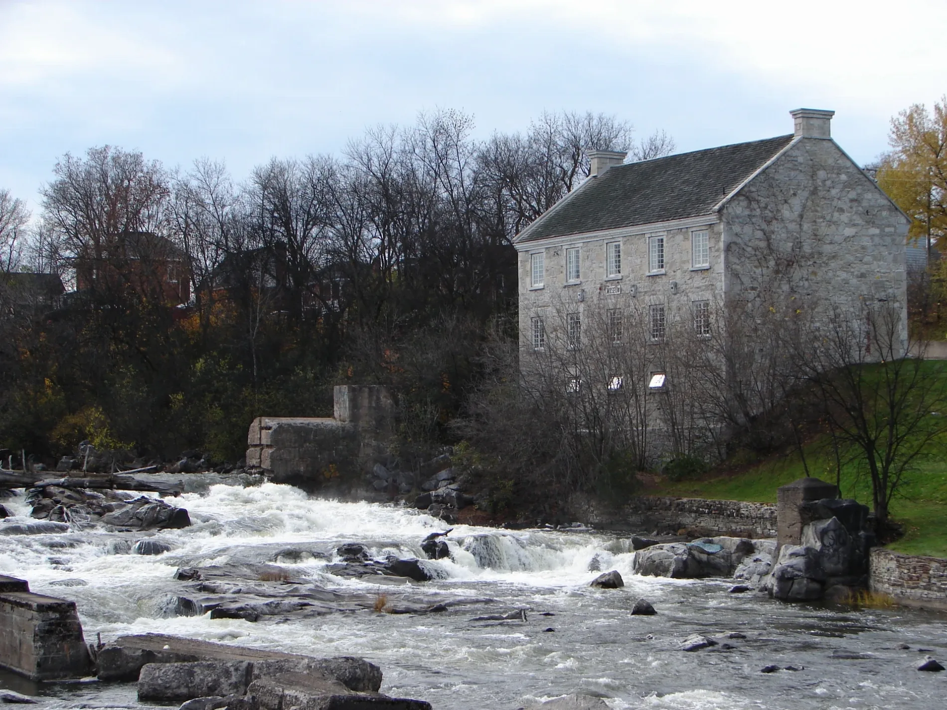
- Waterway Type
- river
Campsite
Tourist information offices
Picnic site
Body of waters nearby
Little Hogan Lake3,4 km
Foys Lake3,9 km
Swamp Lake5,1 km
Frog Lake5,6 km
Aurora Lake6,2 km
East Alder Lake6,4 km
Cloverleaf Lake6,4 km
Huff Lake6,7 km
Feely Lake6,7 km
Creepy Lake7,0 km
Jenkins Lake7,1 km
Bootee Lake7,5 km
Breezy Lake7,8 km
Roundbush Lake7,9 km
Jocko Lake8,3 km
Batise Lake8,7 km
Streams nearby
Hogan Creek3,2 km
Dupuis Creek4,3 km
Frog Creek5,5 km
Wilkins Creek6,0 km
McGuire Creek6,4 km
Batise Creek7,0 km
Robitaille Creek7,6 km
Feely Creek7,8 km
Basin Creek8,0 km
Gross Creek8,0 km
Carcajou Creek8,4 km
| Length | 172 |
|---|---|
| Elevation | 73 m |
| Protected area | Algonquin Provincial Park, Bonnechere River Provincial Park, Bonnechere Provincial Park |
| Located in | Horton, Renfrew, Admaston/Bromley, Bonnechere Valley, North Algona Wilberforce, Killaloe, Hagarty and Richards, Madawaska Valley, Unorganized South Nipissing District |
| Country | Canada |
| Origin | McKaskill Lake |
| Mouth | Ottawa River, Lac des Chats |
 Public transport map Unorganized South Nipissing Legend
| Railway | |
| Bus | |
| Tram |
 Cycling map Unorganized South Nipissing Legend
| Cycle path | |
| Cycle lane on road | |
| Cycling on bus lane | |
| Bicycle street | |
| Cyclists allowed | |
| Cyclists allowed, good surface | |
| No cycling | |
| Cobblestones |
| Long-distance cycle route | (depending on scale) | |
| Long-distance cycle route |
 Walking map Unorganized South Nipissing Legend
| Path |
| Long-distance hiking trail | (depending on scale) | |
| Long-distance hiking trail | ||
| No pedestrians |