
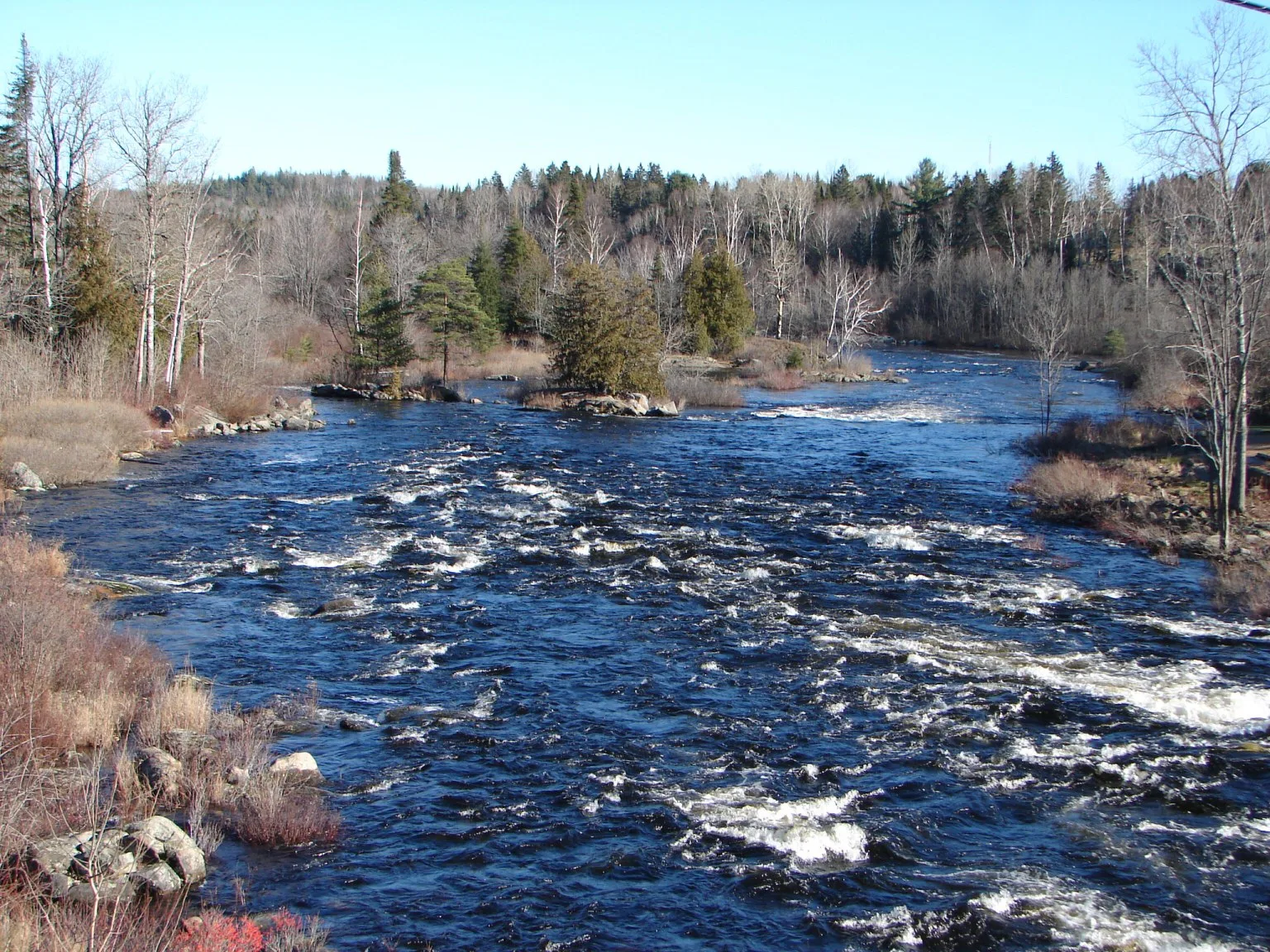
Madaskawa River in Unorganized South Nipissing, Ontario
Madaskawa River in Unorganized South Nipissing is a river and it passes through a tunnel. Ⓦ.
- Waterway Type
- river
Image
Chalet
Viewpoint
Ranger stations
Wheelie bins
Water points
Campsite
Attraction
Bicycle hires
Restaurants
Tourist information offices
Shelter
Hotels
Convenience stores
Roads nearby
Source Lake Road900 m
Minnesing Trail - Sugar Bush Run1,3 km
Minnesing Mountain Bike / Ski Trail1,8 km
Peck Lake Trail2,1 km
Highway 60Pog Lake Campground, Pinetree Lake Access Point (#12), 0 km, East Gate Information Building
2,2 km
Cache Lake Access Point (#8)Phone for Bartlett Lodge
2,5 km
Bruce - Source2,6 km
Cache Lake - Canisbay Lake Portage2,9 km
Minnesing Trail - Timber Slide3,4 km
Ouse Lake - Source Lake3,5 km
Bruce - Raven3,7 km
Weldwood Road3,9 km
Cache Lake - Hilliard Lake3,9 km
Minnesing Trail - Polly's Pitch4,4 km
Smoke Lake - Ouse Lake4,4 km
Hillard Lake - Delano Lake4,7 km
Raven - Owl4,8 km
Dam Service Road4,8 km
Bear Nest Side Trail4,9 km
Head Lake - Cache Lake Portage5,0 km
Attraction nearby
Algonquin Art Centre1,3 km
Body of waters nearby
Found Lake1,2 km
Peck Lake2,1 km
Bruce Lake2,8 km
Polly Lake4,1 km
Kootchie Lake4,1 km
Mizzy Lake4,3 km
Smoke Lake4,3 km
Raven Lake4,5 km
Delano Lake4,6 km
Madawaska River4,8 km
Grape Lake5,1 km
Owl Lake5,3 km
Buildings nearby
Canisbay Lake Office2,4 km
Campsite nearby
Camp Tanamakoon1,4 km
Canisbay Lake Campground3,2 km
Streams nearby
Canisbay Creek3,1 km
Hilliard Creek4,0 km
Delano Creek4,2 km
Hickory Creek5,0 km
Woodlands nearby
Wahbahmini Island2,6 km
Wabeno Island3,0 km
Big Island3,2 km
Delano Island3,7 km
Treasure Island4,2 km
Other nearby
Pathfinder Island1,9 km
Boat transfer to Bartlett Lodge2,3 km
Huckleberry Island2,3 km
Pines Island2,8 km
| Length | 230 |
|---|---|
| Located in | Renfrew County, Nipissing District, Frontenac County |
| Country | Canada |
| Origin | Source Lake |
| Mouth | Lac des Chats |
| Tributary | Opeongo River, York River, McCauley Creek |
 Public transport map Unorganized South Nipissing Legend
| Railway | |
| Bus | |
| Tram |
 Cycling map Unorganized South Nipissing Legend
| Cycle path | |
| Cycle lane on road | |
| Cycling on bus lane | |
| Bicycle street | |
| Cyclists allowed | |
| Cyclists allowed, good surface | |
| No cycling | |
| Cobblestones |
| Long-distance cycle route | (depending on scale) | |
| Long-distance cycle route |
 Walking map Unorganized South Nipissing Legend
| Path |
| Long-distance hiking trail | (depending on scale) | |
| Long-distance hiking trail | ||
| No pedestrians |