
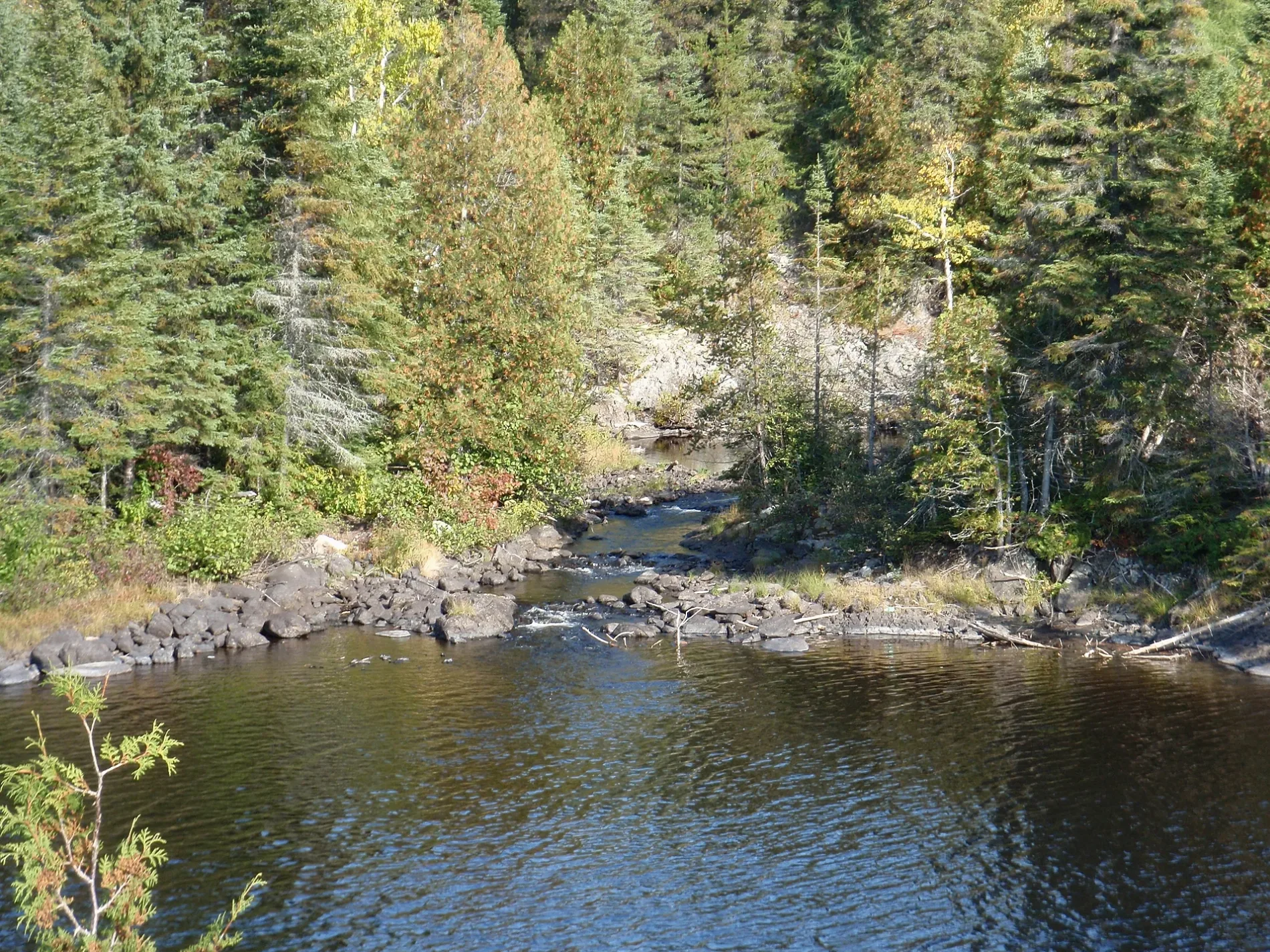
Misema River in Gauthier Township, Ontario
Misema River in Gauthier Township is a river. Ⓦ.
- Waterway Type
- river
Image
Town hall
Roads nearby
Beaverhouse Road1,6 km
Diamond Lake Road4,3 km
Brown Street4,8 km
George Street4,8 km
McKay Street5,0 km
Laut Street5,0 km
Fork Lake Road5,0 km
Dobie Road5,3 km
McPherson StreetDobie, Township Of Gauthier
5,3 km
Upper Canada Road5,3 km
Lader Lake Station Road5,8 km
Killarney Street6,0 km
Rossiter Avenue6,0 km
James Street6,1 km
Yost Road6,2 km
Ontario Street6,8 km
1st Avenue6,8 km
3rd Avenue6,9 km
6th Avenue6,9 km
McDonald Street6,9 km
4th AvenueLarder Lake Post Office
6,9 km
Davey Lowe Road6,9 km
Manitoba Street7,0 km
8th Avenue7,0 km
5th Avenue7,0 km
Godfrey StreetCo-op
7,0 km
2nd Avenue7,0 km
Commissioner Street7,1 km
7th Avenue7,1 km
Market Street7,1 km
Weller Avenue7,1 km
9th Avenue7,2 km
Ski Club Road7,2 km
Highway 667,2 km
Lakeshore Road7,2 km
Thompson Boulevard7,3 km
Body of waters nearby
Spectacle Lakes3,5 km
Coate Lake3,8 km
Diamond Lake4,7 km
Pancake Lake5,3 km
Gem Lake6,3 km
Malone Lake6,4 km
Killarney Lake6,7 km
Glendalough Lake7,2 km
Railway lines nearby
Kirkland Lake Subdivision5,6 km
Northlands Park Siding7,7 km
Rivers nearby
Victoria Creek2,3 km
Streams nearby
Malone Creek5,7 km
Pancake Creek5,8 km
| Length | 57 |
|---|---|
| Located in | Timiskaming District, Cochrane District |
| Country | Canada |
| Mouth | Blanche River |
 Public transport map Gauthier Township Legend
| Railway | |
| Bus | |
| Tram |
 Cycling map Gauthier Township Legend
| Cycle path | |
| Cycle lane on road | |
| Cycling on bus lane | |
| Bicycle street | |
| Cyclists allowed | |
| Cyclists allowed, good surface | |
| No cycling | |
| Cobblestones |
| Long-distance cycle route | (depending on scale) | |
| Long-distance cycle route |
 Walking map Gauthier Township Legend
| Path |
| Long-distance hiking trail | (depending on scale) | |
| Long-distance hiking trail | ||
| No pedestrians |