
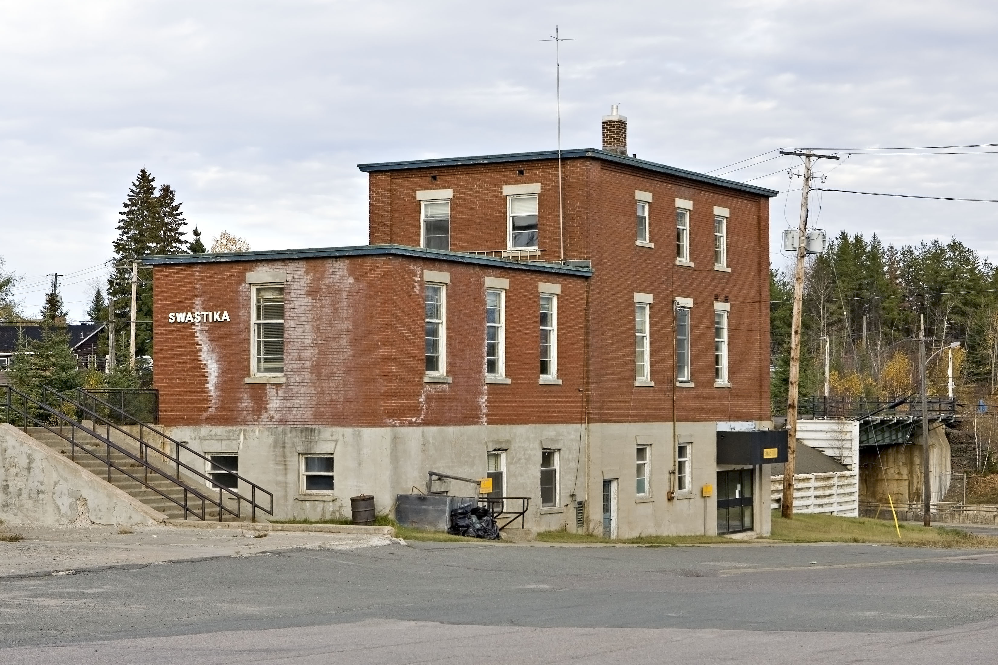
Swastika Avenue in Kirkland Lake, Ontario
Swastika Avenue in Kirkland Lake is a two-lane, unpaved residential street. It runs in a north-south direction starting from Cameron Street and crosses Maddin Avenue and ends at Gold Avenue.
- Road Type
- residential street
- Lanes
- 2
- Route
- north-south
Image
Bank
Pharmacy
Bar
Community centre
DIY stores
Restaurants
Places of worship
Variety stores
Department stores
Fire station
Library
Petrol stations
Museum
Supermarkets
Stations
Convenience stores
Off-licences
Police stations
Roads nearby
Gold Avenue100 m
Culver Park Road150 m
Highway 66Swastika, Chaput Hughes, Living Faith Assembly
200 m
Maddin Avenue400 m
Hays Street450 m
Cameron StreetSwastika
450 m
River StreetSwastika
550 m
Dodge Drive550 m
Lull Street600 m
Peck Avenue600 m
Conroy Avenue700 m
Kirkland Avenue700 m
Riverside Street750 m
Athenia Boulevard750 m
Grenfell Avenue800 m
Connaught Avenue900 m
Otto 1 Road2,8 km
Hanna Road3,9 km
Dane 2 Road4,1 km
Government Road WestBilly's Bar & Grill, TD Canada Trust, Topper's Pizza, Pop's Canabis
4,3 km
Archers Drive4,8 km
Goldthorpe Road5,2 km
Short Street5,4 km
Chaput Avenue5,4 km
Hughes Avenue5,4 km
Macassa Lane5,5 km
McCool Street5,5 km
Gold Property Avenue5,5 km
Inn Street5,5 km
Wye Street5,5 km
Otto 2 Road5,7 km
Beaver Drive5,7 km
Hilltop Drive5,8 km
Haavisto Road5,8 km
Body of waters nearby
Blanche River1,9 km
Perron Lake3,8 km
Campsite nearby
Culver Park Campground650 m
Car dealerships nearby
Lakeshore Motors Ltd.3,3 km
Cemeteries nearby
Kirkland Lake Cemetery2,3 km
Industrial areas nearby
Macassa Mine5,0 km
Parks nearby
Culver Park400 m
Firemans Park700 m
Old Swastika School Grounds800 m
Places of worship nearby
Kingdom Hall of Jehovah's Witnesses3,5 km
Railway lines nearby
Kirkland Lake Subdivision1,9 km
Ramore Subdivision2,5 km
Streams nearby
Murdock Creek2,9 km
Perron Creek3,8 km
Amikougami Creek4,9 km
Public transport map Kirkland Lake Legend
| Railway | |
| Bus | |
| Tram |
Cycling map Kirkland Lake Legend
| Cycle path | |
| Cycle lane on road | |
| Cycling on bus lane | |
| Bicycle street | |
| Cyclists allowed | |
| Cyclists allowed, good surface | |
| No cycling | |
| Cobblestones |
| Long-distance cycle route | (depending on scale) | |
| Long-distance cycle route |
Walking map Kirkland Lake Legend
| Path |
| Long-distance hiking trail | (depending on scale) | |
| Long-distance hiking trail | ||
| No pedestrians |