
Belmont Siding in Central Elgin, Ontario
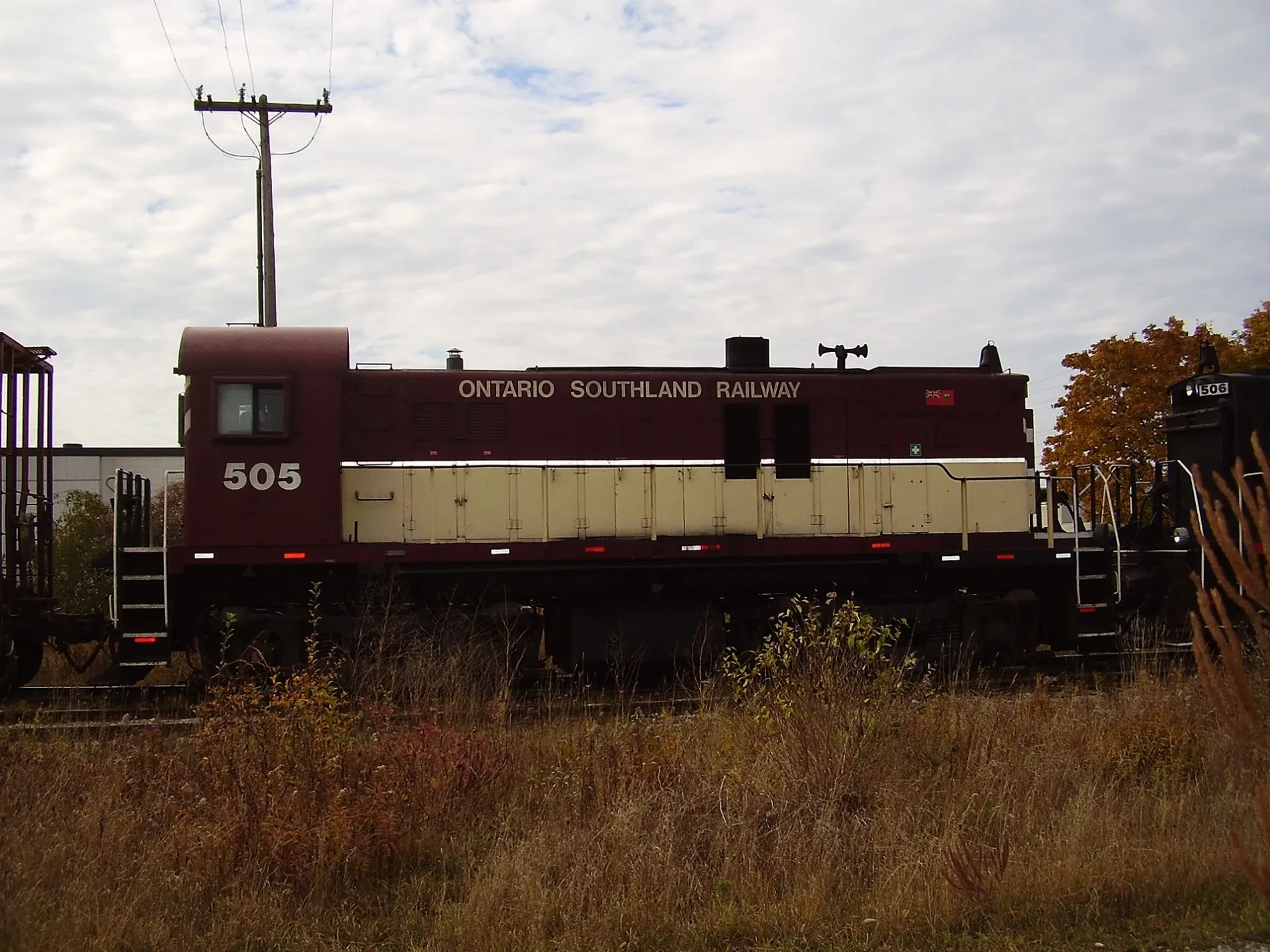
Belmont Siding in Central Elgin is a railway line (Ontario Southland Railway, 1435 mm). Ⓦ.
- Operator
- Ontario Southland Railway
Image
Cafés
Library
Guest house
Hairdressers
Places of worship
Campsite
Clothing shops
Stations
Hotels
Roads nearby
Louise Street200 m
Lorne Street250 m
Dyer Street250 m
Barons Court300 m
Rouen Street400 m
Hazelwood Crescent450 m
Scarlett Place500 m
Yorke Line650 m
Canterbury Place650 m
Sherwood Avenue700 m
Taylor Line750 m
Avon Drive750 m
Ramona Lane800 m
Copeland Street850 m
Joanna Crescent850 m
College StreetBelmont United Church
900 m
Brentwood Crescent900 m
Oakdale Crescent950 m
Kettle Creek Drive950 m
Snyders Avenue950 m
Anita Court950 m
Andrea Crescent1000 m
Odell Street1000 m
Union StreetBelmont
1,0 km
Helon Court1,0 km
Plymouth Court1,0 km
Victoria Street1,0 km
Church Street1,0 km
Landon Lane1,1 km
West Street1,1 km
Washburn Street1,2 km
Wintermute Court1,2 km
Jonathan Way1,2 km
Belmont RoadElgin County Library - Belmont, New Sarum
1,3 km
Dufferin Street1,3 km
Borden AvenueBelmont
1,3 km
Finch Court1,3 km
Brenmar Court1,3 km
Manning Drive1,4 km
Black Lane1,4 km
Robin Ridge Drive1,4 km
Willsie Bourne1,5 km
Cemeteries nearby
Belmont Pioneer Cemetery1,1 km
Off-licences nearby
LCBO700 m
Parks nearby
Belmont Community Park500 m
Meadows Park700 m
Confederation Park750 m
Union Street Park800 m
Streams nearby
Kettle Creek1,4 km
| Headquarters | London |
|---|---|
| Located in | Southern Ontario |
| Country | Canada |
 Public transport map Central Elgin Legend
| Railway | |
| Bus | |
| Tram |
 Cycling map Central Elgin Legend
| Cycle path | |
| Cycle lane on road | |
| Cycling on bus lane | |
| Bicycle street | |
| Cyclists allowed | |
| Cyclists allowed, good surface | |
| No cycling | |
| Cobblestones |
| Long-distance cycle route | (depending on scale) | |
| Long-distance cycle route |
 Walking map Central Elgin Legend
| Path |
| Long-distance hiking trail | (depending on scale) | |
| Long-distance hiking trail | ||
| No pedestrians |