
Jessie Street in West Elgin, Ontario
Jessie Street in West Elgin is a two-lane residential street and runs in a northeast-southwest direction and ends at Graham Road, while the other end is a cul-de-sac. Jessie Street also exists in Wellington County and Bruce County.
- Road Type
- residential street
- Lanes
- 2
- Route
- northeast-southwest
Image
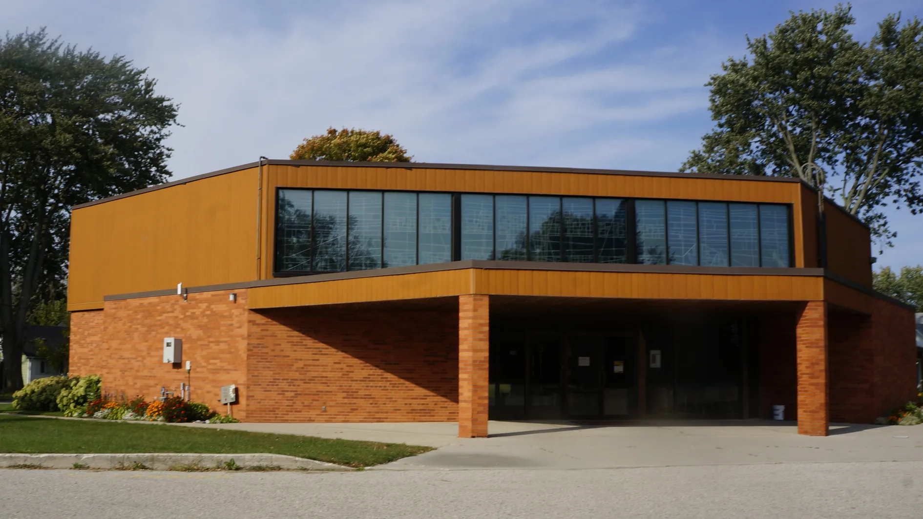
Places of worship
Library
Roads nearby
Chestnut Street100 m
Mehring Avenue150 m
Graham RoadGrace Evangelical Lutheran Church, Crinan
200 m
Elm Street250 m
Maple Street300 m
Argyle Street350 m
Ridge Street450 m
Beecher Street450 m
Pioneer LineWest Lorne
500 m
Morden Street550 m
Sexton Street550 m
Wellington Street550 m
Jane Street650 m
Main Street650 m
Victoria Street650 m
William Street700 m
Division Street700 m
Munroe Street700 m
Frederic Street750 m
Todd Place750 m
Mary Street800 m
Wood Street800 m
Evandale Street800 m
Marsh Line900 m
Angelo Drive900 m
Banks nearby
BMO450 m
Buildings nearby
First West Lorne Scouting Facility200 m
Cafés nearby
Tim Hortons550 m
Car repair shops nearby
GOCO Conway Automotive Repairs450 m
Car washes nearby
Esso800 m
Community centres nearby
West Lorne Lawn Bowling Club100 m
Farm supplies shops nearby
Dixon Feed Supply350 m
Farmyards nearby
Sandy Ridge Livestock & Kiefer Trailer Sales850 m
Hardware shops nearby
Home Hardware450 m
Holiday apartment nearby
Parkview Apartments150 m
Ice rinks nearby
Bo Horvat Community Centre150 m
Industrial areas nearby
Rockland Flooring200 m
Libraries nearby
West Lorne Library400 m
Pharmacies nearby
PharmaChoice500 m
Places of worship nearby
West Lorne Baptist Churchq150 m
St. Mary's roman Catholic Church500 m
Restaurants nearby
Sam's Diner400 m
Out to Lunch400 m
The Arts Cookery & Museum500 m
Social centres nearby
Royal Canadian Legion Hall800 m
Sports pitches nearby
Soccer and football field650 m
Supermarkets nearby
Foodland400 m
Variety stores nearby
Dollar Haven & Discount400 m
Veterinary practices nearby
West Lorne Animal Hospital450 m
Public transport map West Elgin Legend
| Railway | |
| Bus | |
| Tram |
Cycling map West Elgin Legend
| Cycle path | |
| Cycle lane on road | |
| Cycling on bus lane | |
| Bicycle street | |
| Cyclists allowed | |
| Cyclists allowed, good surface | |
| No cycling | |
| Cobblestones |
| Long-distance cycle route | (depending on scale) | |
| Long-distance cycle route |
Walking map West Elgin Legend
| Path |
| Long-distance hiking trail | (depending on scale) | |
| Long-distance hiking trail | ||
| No pedestrians |