
Lambton Shores, Ontario
Lambton Shores is located in Lambton County. Lambton Shores has around 1.738 streets. Lambton Shores is city in Lambton County, Ontario, Canada. Among other things, Lambton Shores has hotels, restaurants, cafés, supermarkets, clothing stores, banks and pharmacies. For more information, see www.lambtonshores.ca.
Lambton Shores – Facts
| Located in | Lambton County |
|---|---|
| Country | Canada |
| Website | http://www.lambtonshores.ca/ |
Data source: Wikidata (CC0)
Photos from Lambton Shores


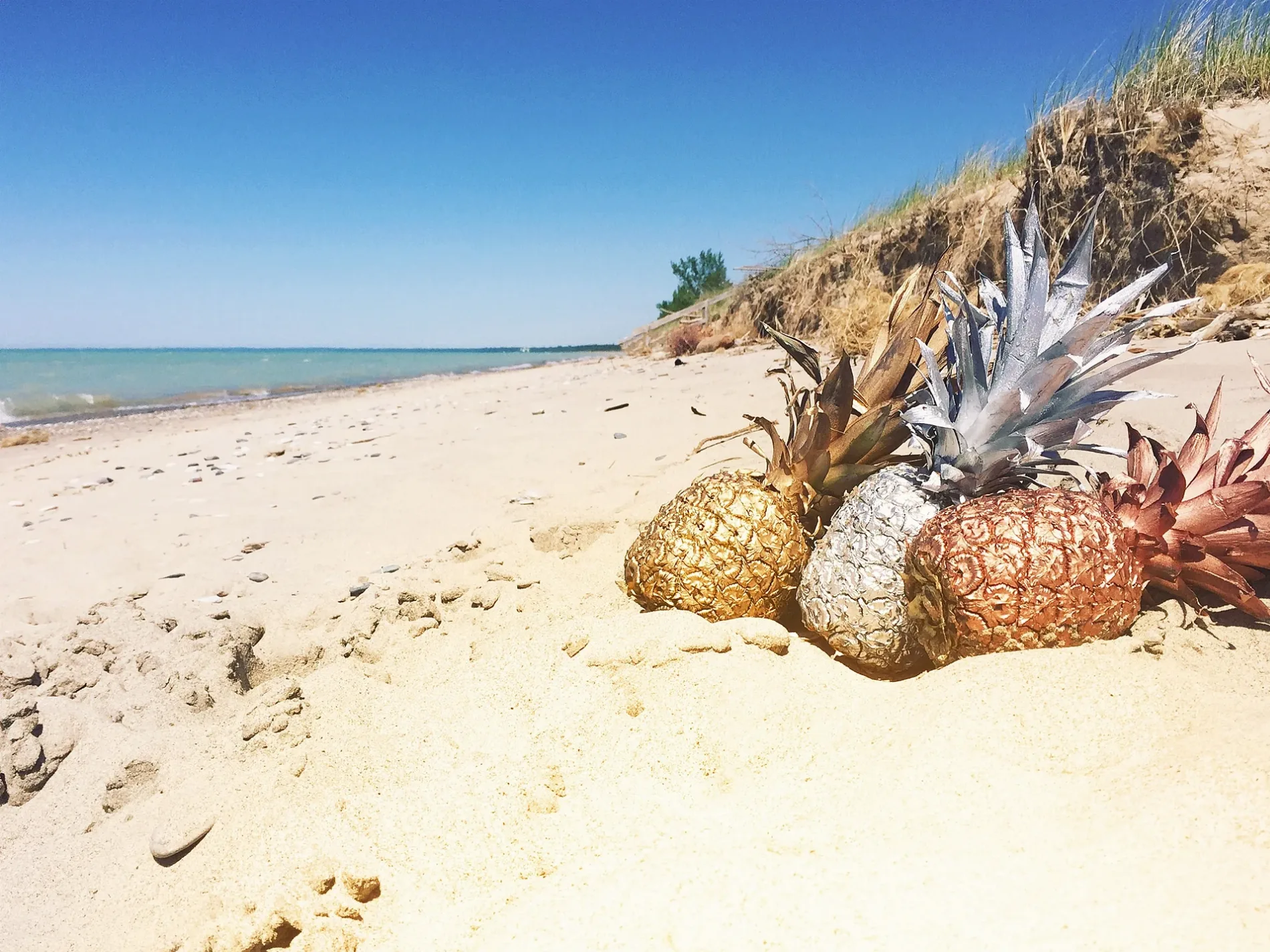
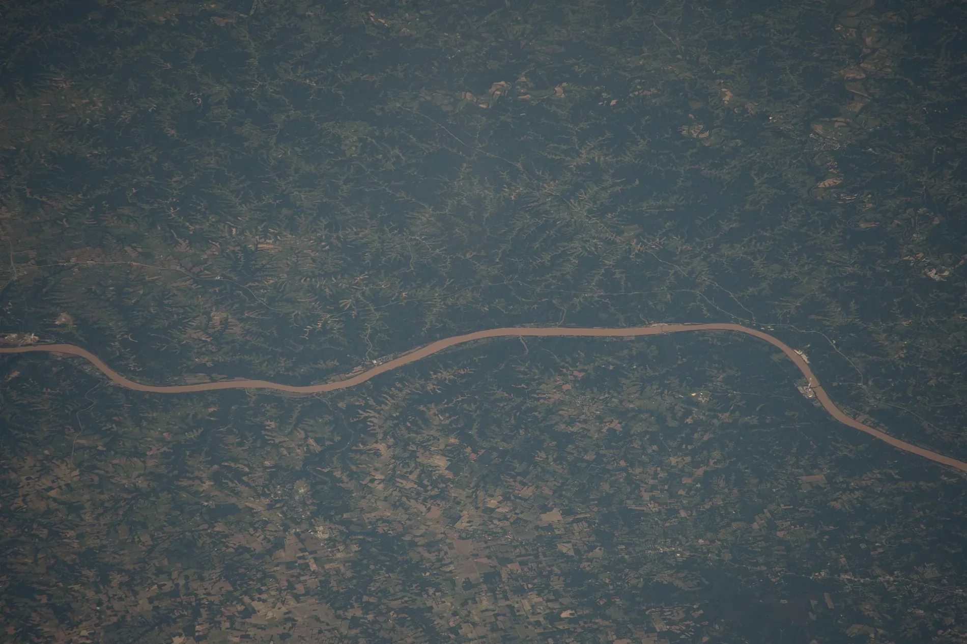
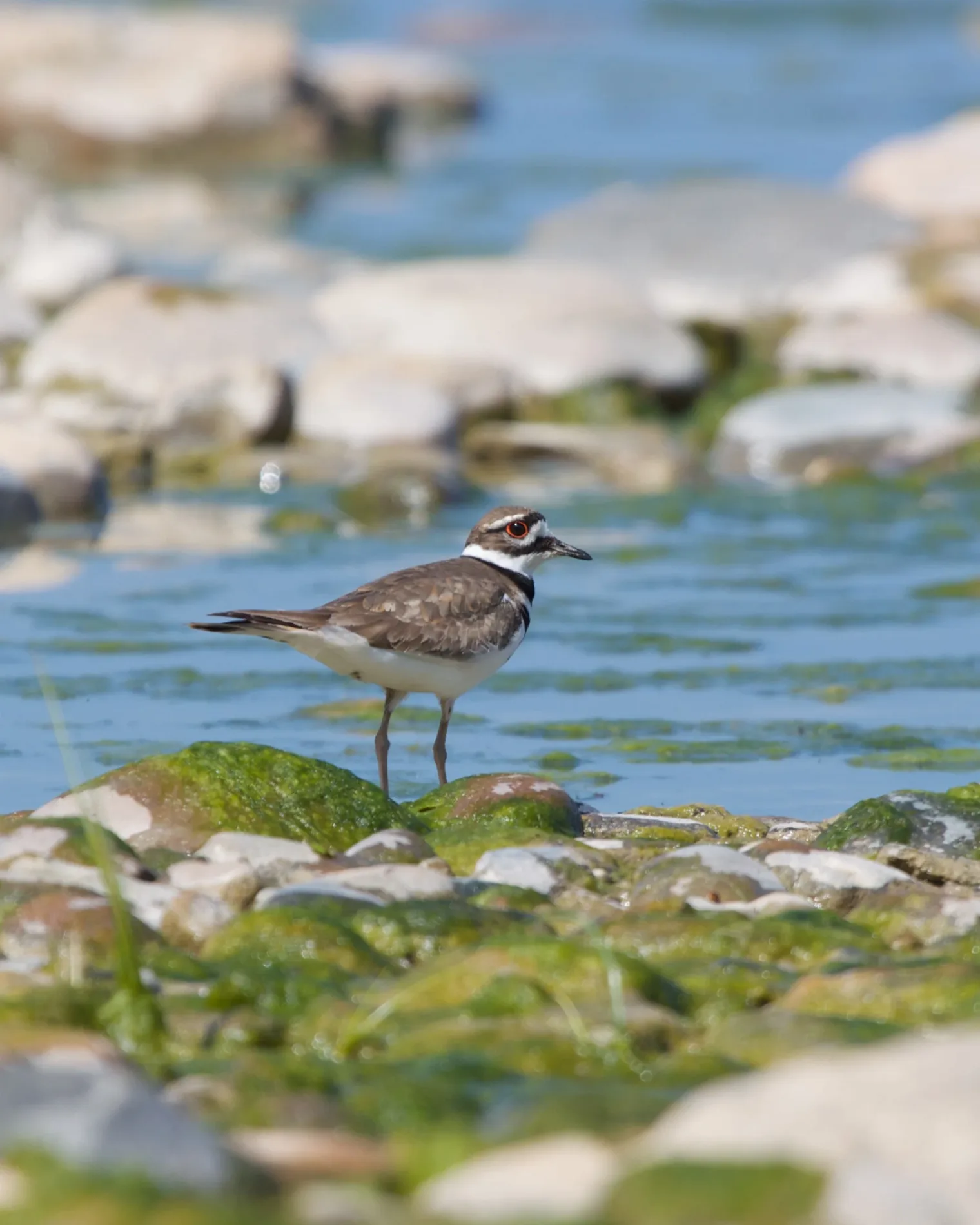
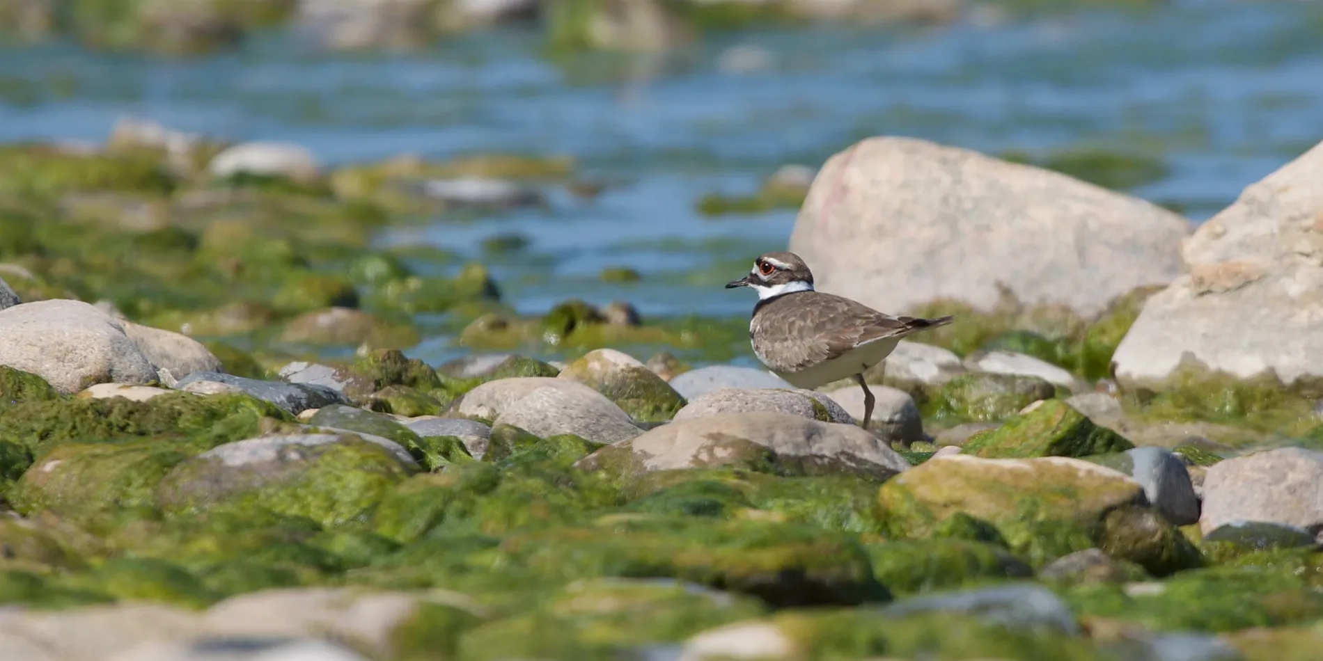
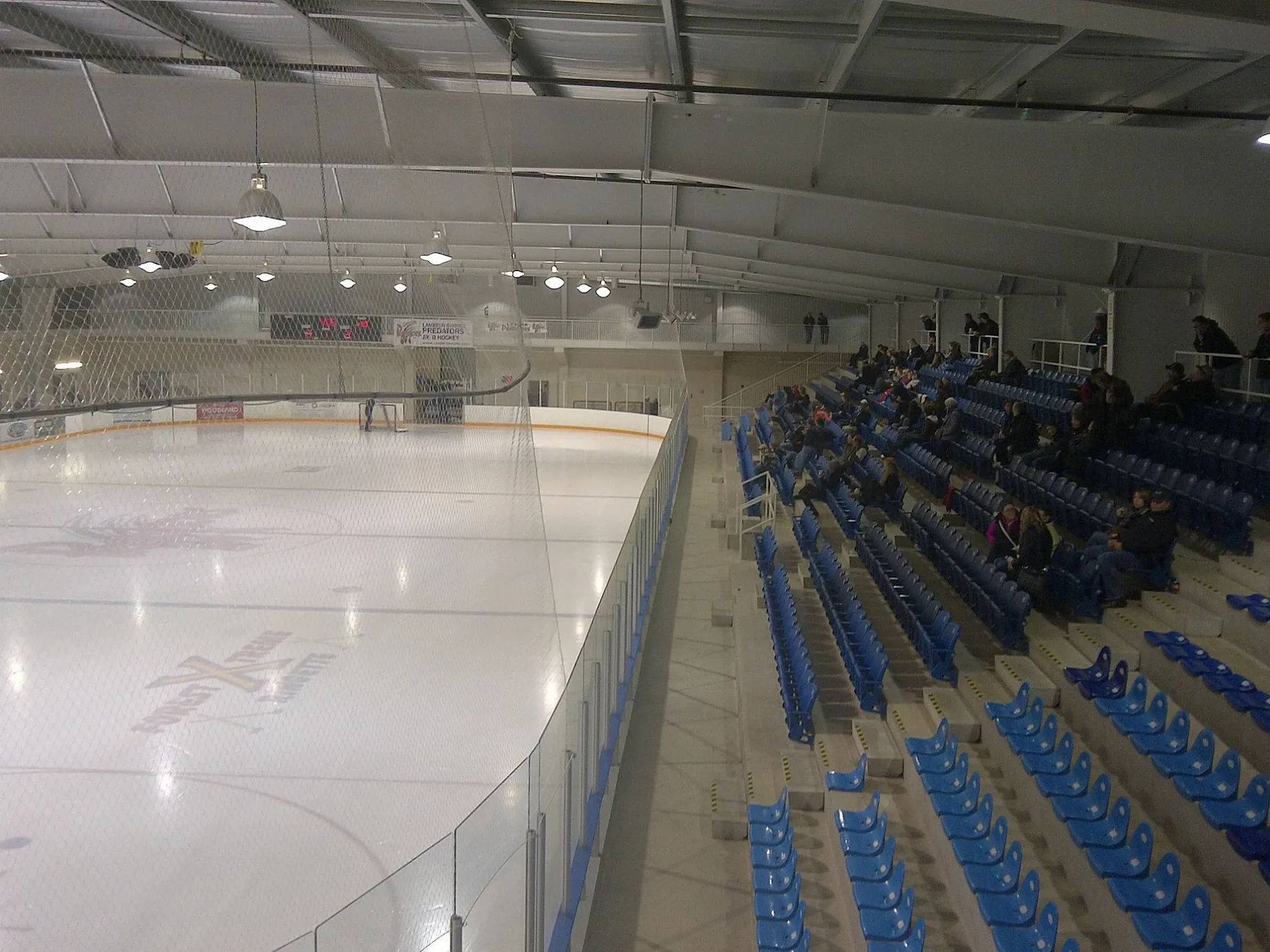
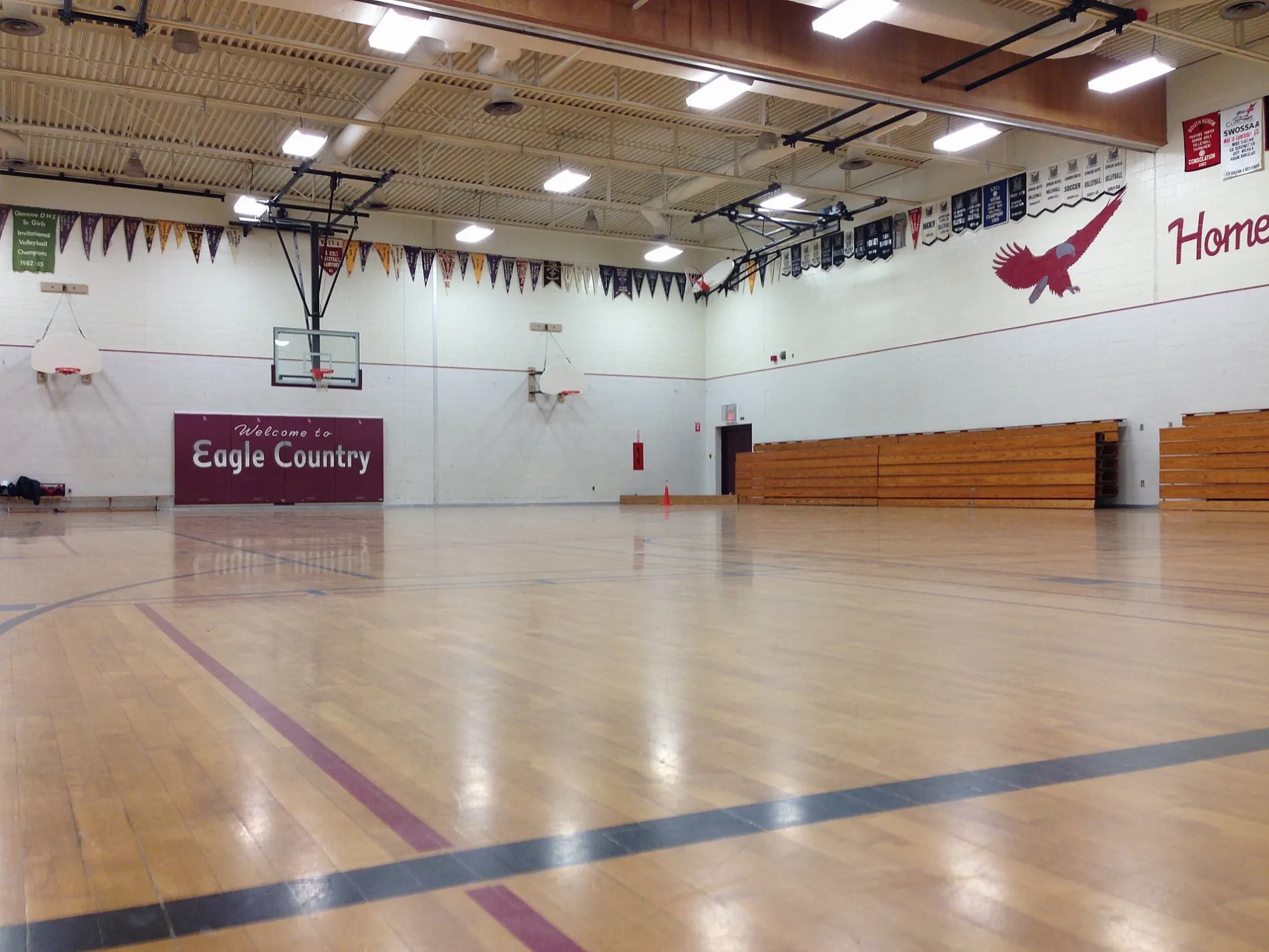
Roads in Lambton Shores, Ontario
Roads
Riverside Campground: Area 2
578-592, 610-624, 512-532, 533-551, 553, 554, 558, 593-609, 426-445, 406-425, 555-577
Main Street WestGrand Bend, Crossroads Clothing, The Growlin Gator, Simple House, Cheryl Ann, Fix48, Crabby Joe's Bar and Grill, Great Lakes Clothing Co., Static, Metanoia
Riverside Campground: Area 3632-646, 668-672, 661-667, 673-690, 647-660
Ontario Street SouthRiverbend Pizzeria, Aux Sables Inn, Grand Bend Gospel Church, Rona, Pizza Delight
Ontario Street NorthCircle K, Colonial Hotel, Paddington Pub, Pizza Hut, True North Cannabis Co.
Savanna Bicycle TrailBicycle and Canoe Rental, Park Store, Ice cream, Group campground 2
Grand Bend Rotary Nature TrailCamping Supply Store, Dale's Antiques, Best's, Whispering Pines
Lakeshore RoadRavenswood, Grog's Pub & Grill, Points Preference Supermarket, Kettle Stony Point First Nat
Riverside Campground: Area 4693-707, 818-827, 751-757
Main Street EastLCBO, Grand Bend Welcome Centre, McDonald's
Poplar AvenueDeep Wave Rentals, Christine's on the River
Summer Grove RoadShoppers Drug Mart, Sobeys
King StreetTD Canada Trust, Foodland
Dunes Campground: Area 3Empties bin
River RoadNew Orlean's Pizza, The Cottage Cafe
Tulip TrailLambton County Library - Port Franks
Townsend LineTim Hortons, Arkona
Watt StreetChrist Church Forest
Huron ski / firebreak trailGroup campground 3
Dunes Campground: Area 1Washrooms
Elmwood AvenueChuck's Roadhouse
Gill RoadLambton County Library - Grand Bend
Queens AvenueGrand Bend United Church
Erie StreetOh! Pizza
Eilber RoadArchie's Emporium
Dunes Campground: Area 4Empties bin
Tattersall LaneOn The Run
Riverside Campground: Area 1Empties bin
Wilderness Trail (2.6 km)Beach lookout (Wilderness trail)
Fire brake trailGroup campground 1
Old Ausable channel trailOld Ausable Channel, Beach of Pines club house
Beach access trailPicnic shelter
Warwick AvenueHenna Beach
Greenway DriveGeneral Store
Northville CrescentOakridge Family Campground
Broadway StreetProut's Building Centre
Main Street NorthForest Bible Chapel
Frances Drive
Widder Road
Oriole Ave
Dogwood Crescent
Leighton Drive
St Anthony Crescent
canoe portage
Gratton Drive
Freeman Street
Bog Line
Kinnaird Road
Brewster BoulevardBuildings
Farmlands
Fast food restaurants
Motel
Parks
Places of worship
Quarries
 Public transport map Lambton Shores Legend
| Railway | |
| Bus | |
| Tram |
 Cycling map Lambton Shores Legend
| Cycle path | |
| Cycle lane on road | |
| Cycling on bus lane | |
| Bicycle street | |
| Cyclists allowed | |
| Cyclists allowed, good surface | |
| No cycling | |
| Cobblestones |
| Long-distance cycle route | (depending on scale) | |
| Long-distance cycle route |
 Walking map Lambton Shores Legend
| Path |
| Long-distance hiking trail | (depending on scale) | |
| Long-distance hiking trail | ||
| No pedestrians |