
Brown Street in Norfolk County, Ontario
Brown Street in Norfolk County is a two-lane residential street. It runs in an east-west direction starting from Washington Street and crosses Wellington Street, St. James Street, Leamon Street, Main Street South and Howard Street and ends at Brown Street East. Brown Street also exists in Chatham-Kent and Guelph.
- Road Type
- residential street
- Lanes
- 2
- Route
- east-west
Image
Restaurants
Chemist's
Gift shops
Baby goods stores
Pharmacy
Fast food restaurants
DIY stores
Doctor's office
Art galleries
Pet shops
Antique shops
Veterinary clinic
Farm supplies shops
Library
Hi-fi shops
Bank
Roads nearby
Hall Street200 m
Green Street200 m
Wellington Street250 m
Thompson Road450 m
Howard Street500 m
Charles Street550 m
Baltic Circle550 m
West Church Street550 m
Simon Court550 m
Cottonwood Street550 m
Harrison Street600 m
Yu Boulevard600 m
Albert Lane600 m
Leamon StreetHome Hardware Home Building Centre
600 m
Normandy Court600 m
Brown Street East600 m
Washington Street600 m
Lotus Avenue650 m
Temperance StreetWaterford
650 m
Wesley Street650 m
St. James Street650 m
Auty Street700 m
East Church Street700 m
Nursery Street750 m
Alice StreetWaterford Antique Market
800 m
Sylvia Street800 m
Waterford Heritage Rail Trail800 m
Nichol Street850 m
Main Street SouthWaterford, Waterford Family Health Center
900 m
Shadow Lake Trail900 m
Orchard Crescent900 m
Slaght Street900 m
Lingwood Drive900 m
Main Street North900 m
Old Main StreetNorfolk County Public Library - Waterford Branch
950 m
Factory Alley1000 m
Antique shops nearby
Alice Street Antiques800 m
Body of waters nearby
Shadow Lake900 m
Buildings nearby
Waterford Family Health Center850 m
Cafés nearby
Tim Hortons450 m
Clothing shops nearby
Quilt Junction800 m
Community centres nearby
Waterford Old Town Hall650 m
Convenience stores nearby
BB Family Gas Bar300 m
Dams nearby
Waterford Dam950 m
Museum nearby
Waterford Heritage & Agricultural Museum800 m
Petrol stations nearby
Esso650 m
Places of worship nearby
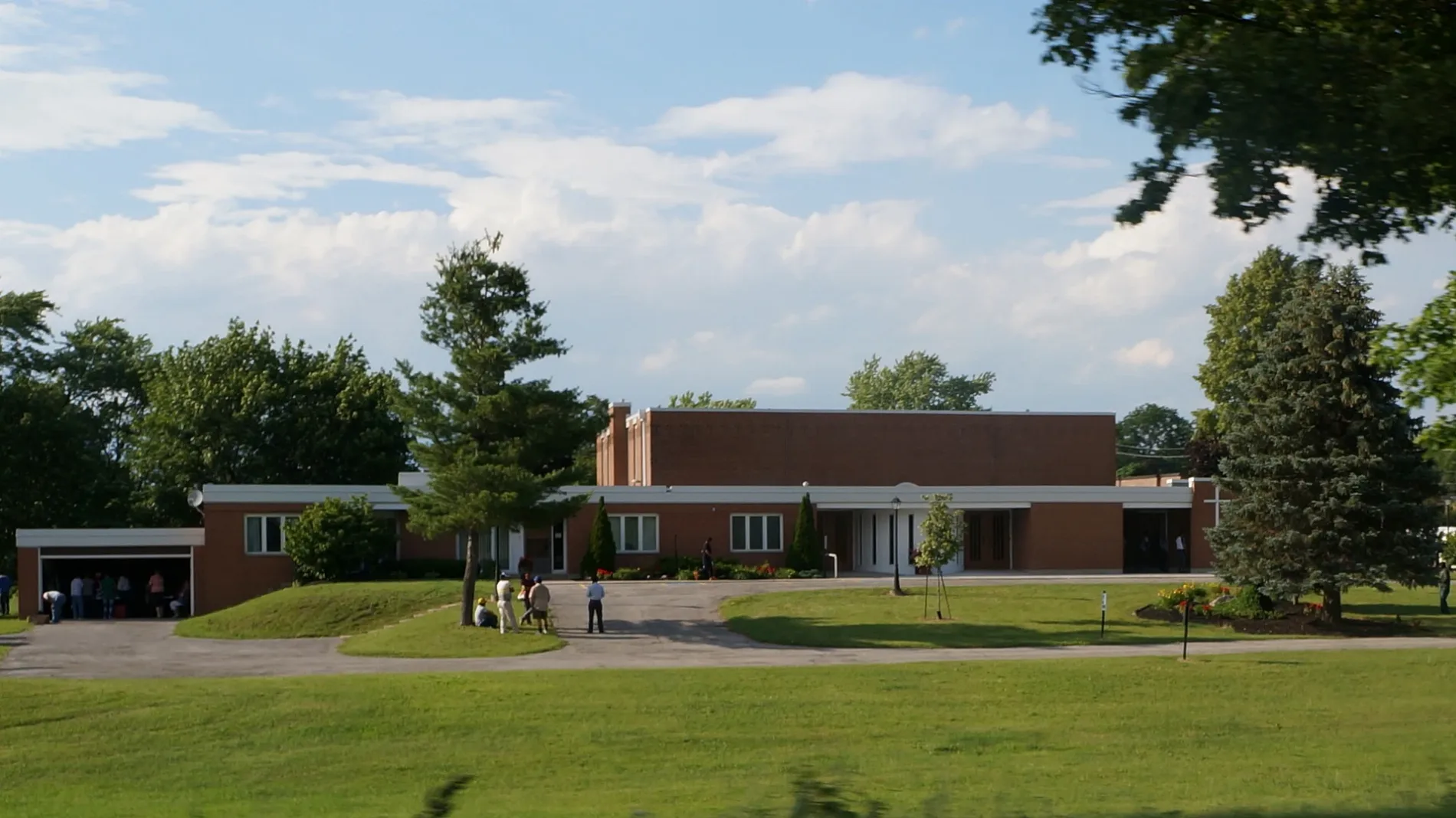
Saint Bernard of Clairvaux Catholic Church450 m
School buildings nearby
Saint Bernard of Clairvaux School300 m
Streams nearby
Nanticoke Creek950 m
Public transport map Norfolk County Legend
| Railway | |
| Bus | |
| Tram |
Cycling map Norfolk County Legend
| Cycle path | |
| Cycle lane on road | |
| Cycling on bus lane | |
| Bicycle street | |
| Cyclists allowed | |
| Cyclists allowed, good surface | |
| No cycling | |
| Cobblestones |
| Long-distance cycle route | (depending on scale) | |
| Long-distance cycle route |
Walking map Norfolk County Legend
| Path |
| Long-distance hiking trail | (depending on scale) | |
| Long-distance hiking trail | ||
| No pedestrians |