
Court Street in Norfolk County, Ontario
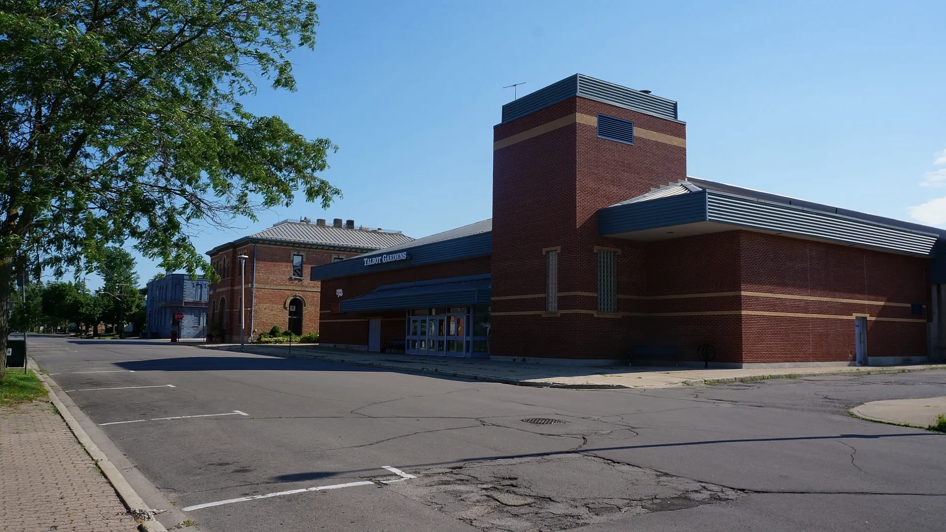
Court Street in Norfolk County is a single-lane, asphalted residential street. The road has sidewalks. There is no cycle path. It runs as a one-way street in a east direction starting from Talbot Street and ends at Colborne Street.
- Road Type
- residential street
- Lanes
- 1
- Route
- east-west
Image
Supermarkets
Department stores
Furniture shops
Cafés
Hardware shops
Hotels
Fast food restaurants
Bank
Pharmacy
Clothing shops
Convenience stores
Restaurants
Library
Electronics shops
Dentist
Social facility
Car parts shops
Roads nearby
Lot StreetNorfolk County Public Library - Simcoe Branch
150 m
Chapel StreetFood Basics
200 m
Colborne StreetMalo Family and Cosmetic Dentistry
200 m
Peel Street250 m
Young Street300 m
Stanley Street350 m
Kent Street350 m
Sydenham StreetBMO
350 m
Water StreetTim Hortons, Spruce Lodge Cottage
350 m
Queen Street350 m
Talbot Street450 m
Nelson Street450 m
John StreetBrant Hill Inn Motel
450 m
Head Street450 m
Dean Street450 m
Grove Street450 m
Short Street500 m
Kars Street500 m
Metcalfe StreetGiant Tiger
500 m
Robinson StreetLeon's
500 m
Lynn Park Drive500 m
Groff Street550 m
Mason's Lane550 m
Marshall Lane550 m
Norfolk StreetMagic Piper, Marr's Hollow, Colborne, Wendy's, Roulston's Pharmacy, The Source, Tim Hortons
600 m
Elgin Avenue600 m
West StreetThe Norfolk Hospital Nursing Home
600 m
South Drive650 m
Ward Street650 m
Maple Street700 m
Brook Street700 m
Stephens Court750 m
Rosseau Drive750 m
King Lane800 m
Orchard Avenue800 m
Cedar Street800 m
Mackay Avenue850 m
Richard Avenue850 m
Emily Street850 m
Scott Avenue900 m
Land Use nearby
Seventh Day Adventist600 m
Buildings nearby
Millards Accounting200 m
Ice rinks nearby
Simcoe Curling Rink600 m
Places of worship nearby
Saint Peter Lutheran Church550 m
Saint Mary's Catholic Church600 m
The Salvation Army600 m
Post offices nearby
Canada Post600 m
Retail areas nearby
Simcoe Town Centre50 m
Sports centres nearby
Talbot Gardens250 m
Public transport map Norfolk County Legend
| Railway | |
| Bus | |
| Tram |
Cycling map Norfolk County Legend
| Cycle path | |
| Cycle lane on road | |
| Cycling on bus lane | |
| Bicycle street | |
| Cyclists allowed | |
| Cyclists allowed, good surface | |
| No cycling | |
| Cobblestones |
| Long-distance cycle route | (depending on scale) | |
| Long-distance cycle route |
Walking map Norfolk County Legend
| Path |
| Long-distance hiking trail | (depending on scale) | |
| Long-distance hiking trail | ||
| No pedestrians |