
Durham Street in Tillsonburg
Durham Street in Tillsonburg is a two-lane residential street. It runs in an east-west direction starting from Lisgar Avenue and crosses Puc Alley, Queen Street, King Street and Erbert Alley and ends at Tillson Avenue. In the vicinity, there is a social centre.
- Road Type
- residential street
- Lanes
- 2
- Route
- east-west
Image
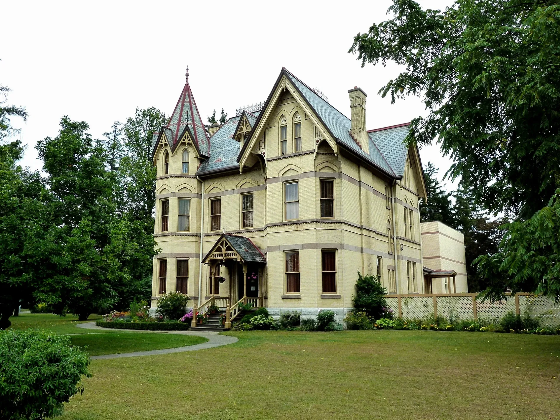
Social centres
Roads nearby
Puc Alley150 m
Elgin Street150 m
Bridge Street EastLCBO
150 m
Erbert Alley250 m
Harris Alley250 m
Harvey StreetHair Masters, Bentley, Dollar Tree, Shoppers Drug Mart, Staples, Tillsonburg Medical
250 m
Queen Street300 m
Frank Street400 m
First Street400 m
Lisgar Court450 m
Ridout StreetBMO, Bulk Barn
450 m
Broadway StreetOxford County Library - Tillsonburg, Money Mart, Total Hearing, easyhome, TD, Bell, Ardene, Gold & Ice Jewellers, Rogers, Knock Out Fashions, The Lady's A Champ, Gino's Pizza, Tim Hortons, Muslim Association of Tillsonburg, Ruffin's Pet Centre, Petro-Canada, Circle K, Domino's, Edwards Veterinary Services, Hurley's, Tillsonburg, Hi Tech Electronics, Pioneer, Subway, On the Run, BrandSource, Floors Now, Ronson's Audio Video, Faith Presbyterian Church, Boston Pizza, Queen's Cafe, Mark's, CIBC, Forever Nail Care & Spa, Sangster's Health Centre, The Handmaiden, The Source, Telus
450 m
Bidwell Street550 m
Bridge Street West550 m
Venison Street600 m
Bear Street600 m
Second Street600 m
King Street650 m
Denton Avenue650 m
Fox Alley650 m
Pearl Street650 m
Third Street700 m
Park Avenue700 m
Delevan Crescent700 m
Raccoon Alley700 m
Wolf Street700 m
Concession Street East700 m
Ross Street750 m
Gowrie Street750 m
Ann Street800 m
Fourth Street800 m
Railway Street800 m
Alley Alley850 m
DIY stores nearby
Home Hardware Building Centre300 m
Body of waters nearby
Lake Lisgar450 m
Community centres nearby
Station Arts Centre600 m
Department stores nearby
Canadian Tire250 m
Petrol stations nearby
XTR400 m
Places of worship nearby
Tillsonburg Bible Chapel150 m
Avondale United Church300 m
Open Arms Church300 m
Bethel Pentecostal Church600 m
Police stations nearby
Ontario Provincial Police350 m
Post offices nearby
Tillsonburg Post Office350 m
Public buildings nearby
The Livingston Centre300 m
Railway lines nearby
Port Burwell Subdivision700 m
Restaurants nearby
Kelsey's450 m
Shopping malls nearby
Tillsonburg Town Centre300 m
Supermarkets nearby
Metro550 m
Public transport map Tillsonburg Legend
| Railway | |
| Bus | |
| Tram |
Cycling map Tillsonburg Legend
| Cycle path | |
| Cycle lane on road | |
| Cycling on bus lane | |
| Bicycle street | |
| Cyclists allowed | |
| Cyclists allowed, good surface | |
| No cycling | |
| Cobblestones |
| Long-distance cycle route | (depending on scale) | |
| Long-distance cycle route |
Walking map Tillsonburg Legend
| Path |
| Long-distance hiking trail | (depending on scale) | |
| Long-distance hiking trail | ||
| No pedestrians |