
South-West Oxford, Ontario
South-West Oxford is located in Oxford County. Around 7,664 people live here. Between 2011 and 2016, the population grew from 7,544 to 7,664. Its area extends over around 370.7 square kilometres. South-West Oxford has around 599 streets. The postal codes are N0J. South-West Oxford is township municipality in Oxford County, Ontario, Canada. Among other things, South-West Oxford has public transport, restaurants and cafés. For more information, see www.swox.org.
South-West Oxford – Facts
| Inhabitants | 7664 |
|---|---|
| Area | 370.7 km² |
| Located in | Oxford County |
| Postal code | N0J |
| Country | Canada |
| Website | http://www.swox.org |
Data source: Wikidata (CC0)
Photos from South-West Oxford
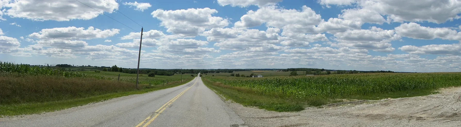


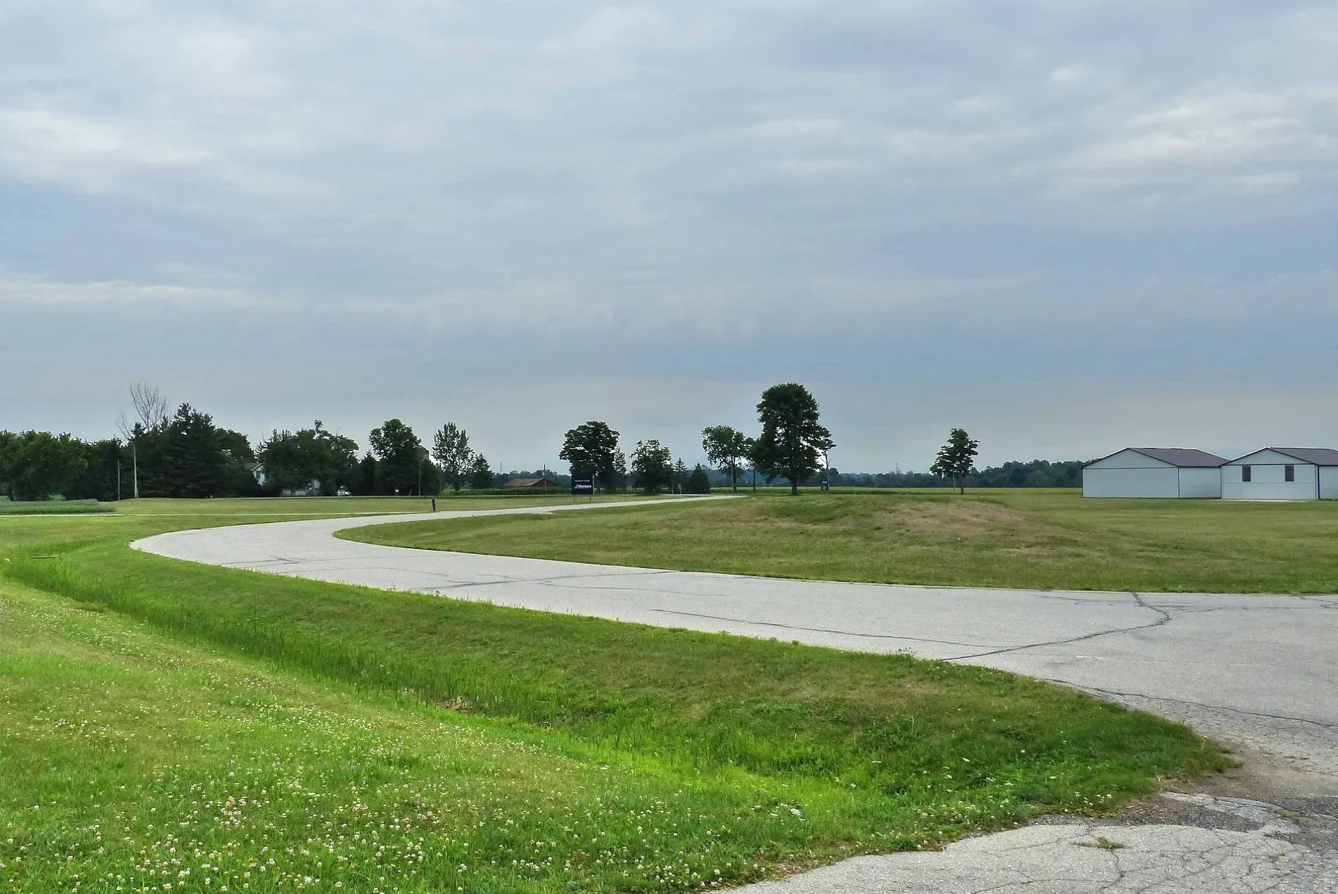
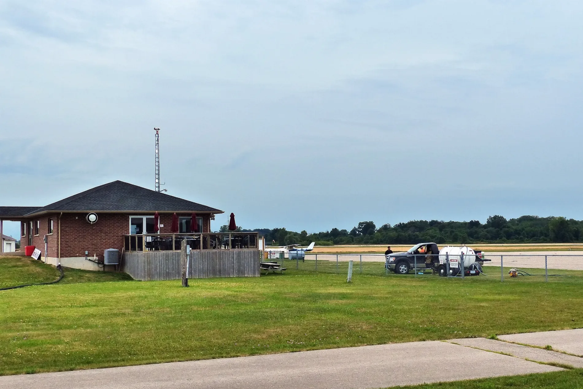

South-West Oxford
This page is the City map of South-West Oxford, a township municipality in Oxford County, Ontario, Canada, showing the region’s streets, paths and places. The township covers approximately 370.7 square kilometres and uses the N0J postal code area. Around 7,664 people live in South-West Oxford; the population increased from 7,544 in 2011 to 7,664 in 2016. South-West Oxford lies within Oxford County in southwestern Ontario.
Data sources: OpenStreetMap (ODbL), Wikidata (CC0) · Image: Wikimedia Commons
Roads in South-West Oxford, Ontario
Roads
Body of waters
Brownfields
Cemeteries
Industrial buildings
Motel
Places of worship
Rivers
Other
| Railway | |
| Bus | |
| Tram |
| Cycle path | |
| Cycle lane on road | |
| Cycling on bus lane | |
| Bicycle street | |
| Cyclists allowed | |
| Cyclists allowed, good surface | |
| No cycling | |
| Cobblestones |
| Long-distance cycle route | (depending on scale) | |
| Long-distance cycle route |
| Path |
| Long-distance hiking trail | (depending on scale) | |
| Long-distance hiking trail | ||
| No pedestrians |