
Tillsonburg
Tillsonburg is located in Oxford County. Around 15,872 people live here. The region lies at 270 metres above sea level. Tillsonburg has around 669 streets. The region was founded in the year 1825. The postal codes are N4G. Tillsonburg is town in Oxford County, Ontario, Canada. Among other things, Tillsonburg has restaurants, cafés, supermarkets, clothing stores, banks, hairdressers, doctors and pharmacies. For more information, see www.tillsonburg.ca.
Tillsonburg – Facts
| Inhabitants | 15872 |
|---|---|
| Inception | 1825 |
| Elevation | 270 m |
| Located in | Oxford County |
| Postal code | N4G |
| Country | Canada |
| Website | https://www.tillsonburg.ca/ |
Data source: Wikidata (CC0)
Photos from Tillsonburg
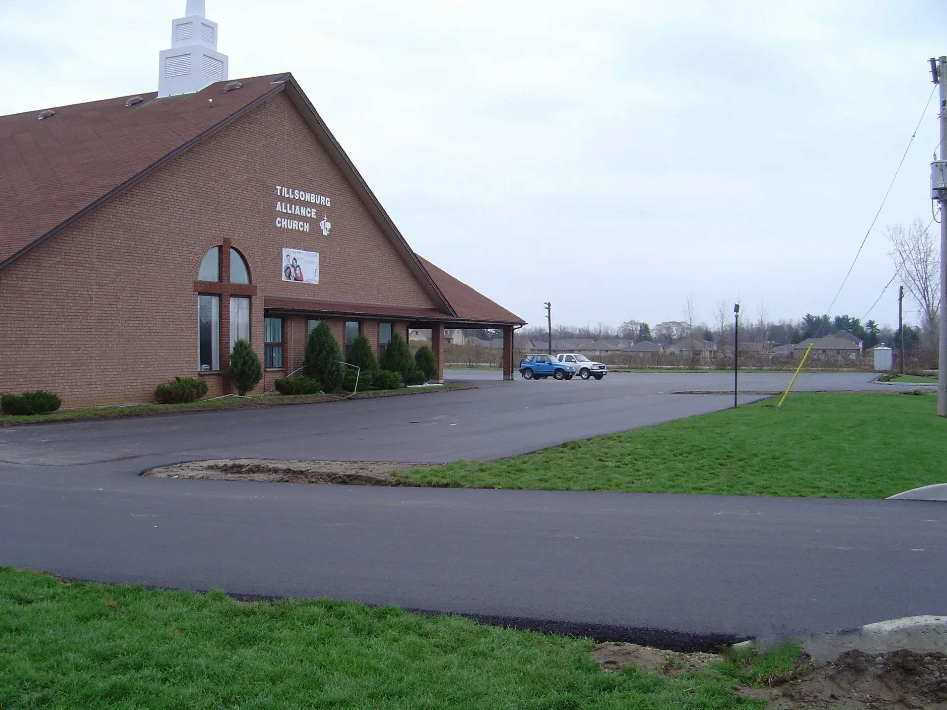
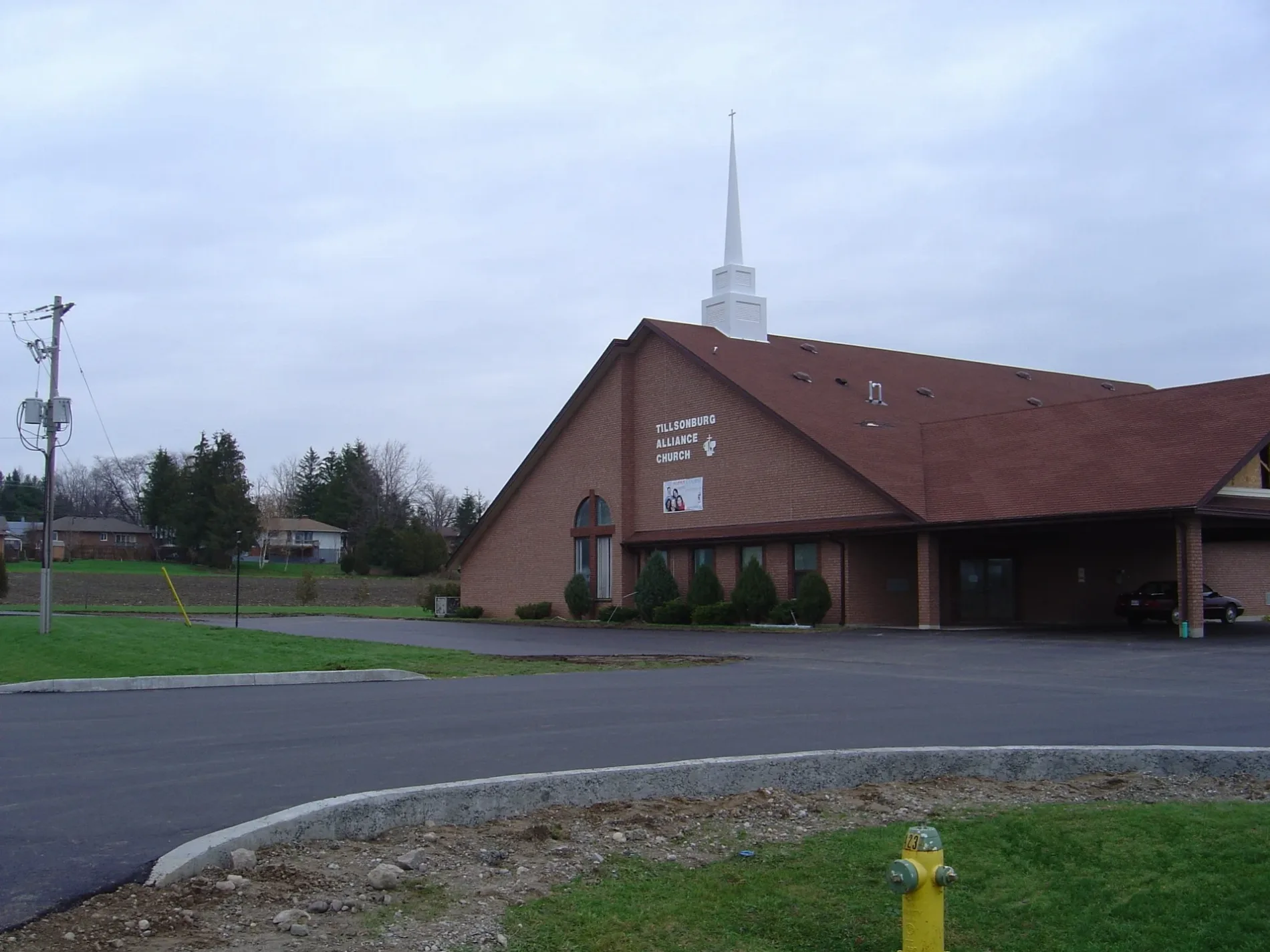
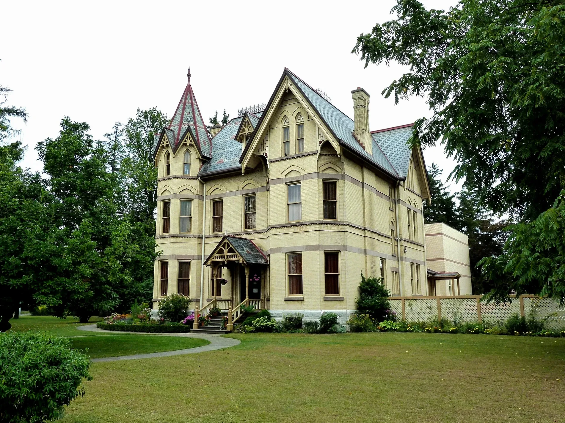
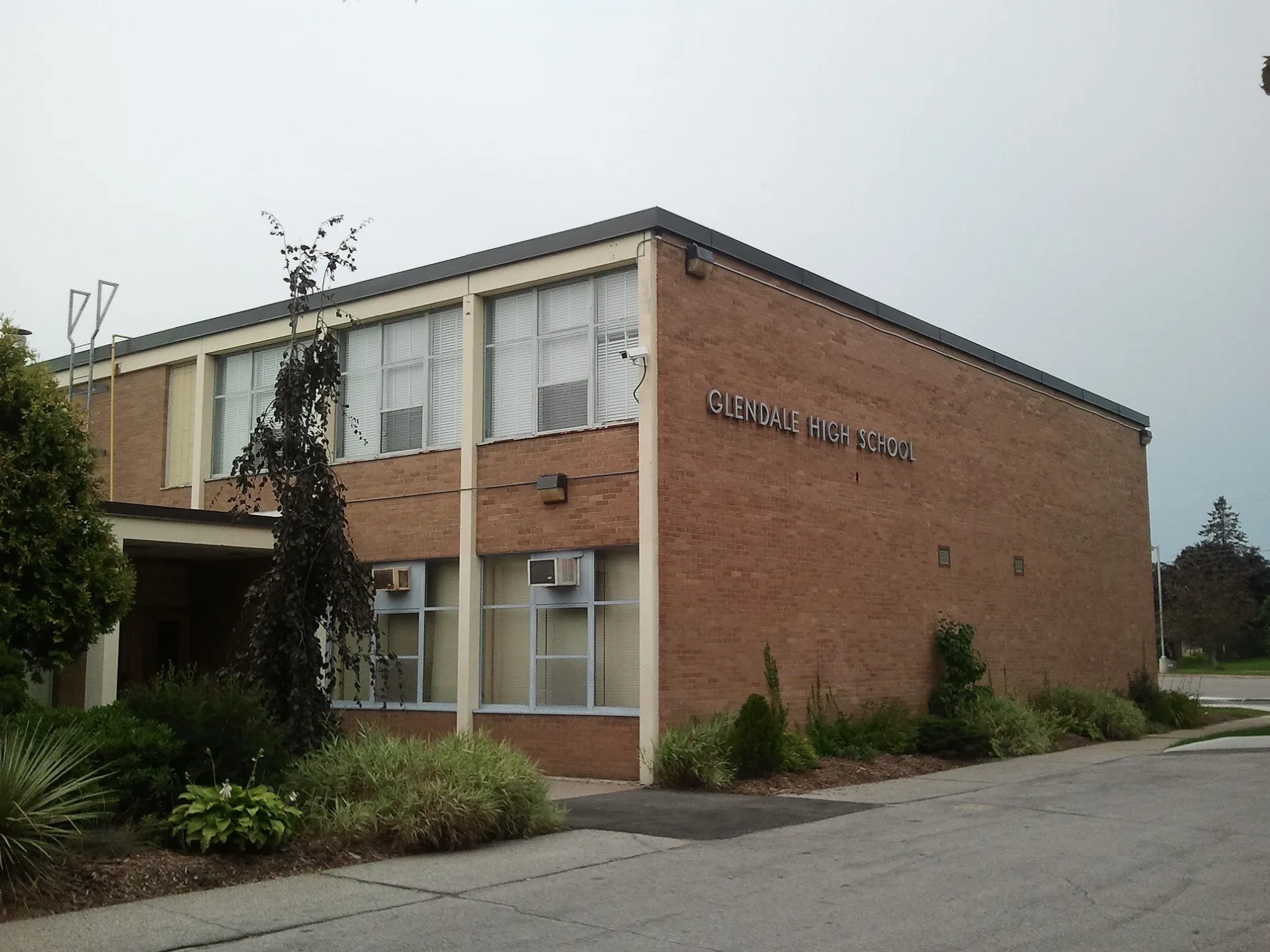

Tillsonburg
This page is the City map of Tillsonburg in Oxford County, Ontario, Canada, showing streets, paths and places within the town. Tillsonburg lies at approximately 270 metres above sea level and has about 15,872 residents. The town was founded in 1825 and uses the N4G postal code area. Tillsonburg is located in southwestern Ontario within Oxford County, near the boundary with Norfolk County.
Data sources: OpenStreetMap (ODbL), Wikidata (CC0) · Image: Wikimedia Commons
Roads in Tillsonburg
Roads
DIY stores
Brownfields
Cafés
Fast food restaurants
Residential areas
Residential buildings
Restaurants
| Railway | |
| Bus | |
| Tram |
| Cycle path | |
| Cycle lane on road | |
| Cycling on bus lane | |
| Bicycle street | |
| Cyclists allowed | |
| Cyclists allowed, good surface | |
| No cycling | |
| Cobblestones |
| Long-distance cycle route | (depending on scale) | |
| Long-distance cycle route |
| Path |
| Long-distance hiking trail | (depending on scale) | |
| Long-distance hiking trail | ||
| No pedestrians |