
West Street in Tillsonburg
West Street in Tillsonburg is a single-lane service road. No sidewalks. It runs in a north-south direction starting from Brownsville Road and crosses East Street and ends at South Street. West Street also exists in Ingersoll.
- Road Type
- service road
- Lanes
- 1
- Route
- north-south
Image
Pet shops
Pharmacy
Chemist's
Supermarkets
Bank
Beauty salons
Interior decorators
Fast food restaurants
Furniture shops
Veterinary clinic
Appliance stores
Off-licences
Health food shops
Convenience stores
Petrol stations
Ice cream parlours
Restaurants
Locksmiths
Social centres
Clothing shops
Roads nearby
East Street50 m
Brownsville RoadBradburn Subdivision
150 m
Park Drive150 m
Park Place150 m
South Street200 m
Moose Street250 m
Northern Lane300 m
Wren Court350 m
Brookside Lane350 m
Fairview Street350 m
Vance DriveDad's Ice Cream
400 m
Woodcock Drive450 m
Belmont Avenue450 m
Westwinds Gate500 m
Thompson Court500 m
Pheasant Court500 m
Quarter Town LineWestmount
500 m
Allen StreetGlenridge
500 m
Langrell AvenueChuck's Roadhouse
500 m
Carolina StreetKrushed Tomato
500 m
Windemere Avenue550 m
Lyndale Road550 m
James Avenue550 m
Robin Road550 m
Hunter Crescent550 m
Hilldrop Crescent550 m
Brad Avenue550 m
Bobolink Drive600 m
Darrow Drive600 m
Rosalynn Circle600 m
Woodside Drive650 m
Cardinal Court650 m
North Street EastI.D.A.
700 m
Falcon Road700 m
Owl Drive700 m
Tanger Drive700 m
Tulip Drive750 m
South Ridge Road850 m
Cafés nearby
Tim Hortons350 m
Car dealerships nearby
Stauffer Ford650 m
Car repair shops nearby
Pro Oil Change200 m
Fast food restaurants nearby
Burger King400 m
A&W400 m
Petrol stations nearby
Shell250 m
Places of worship nearby
North Broadway Baptist Church300 m
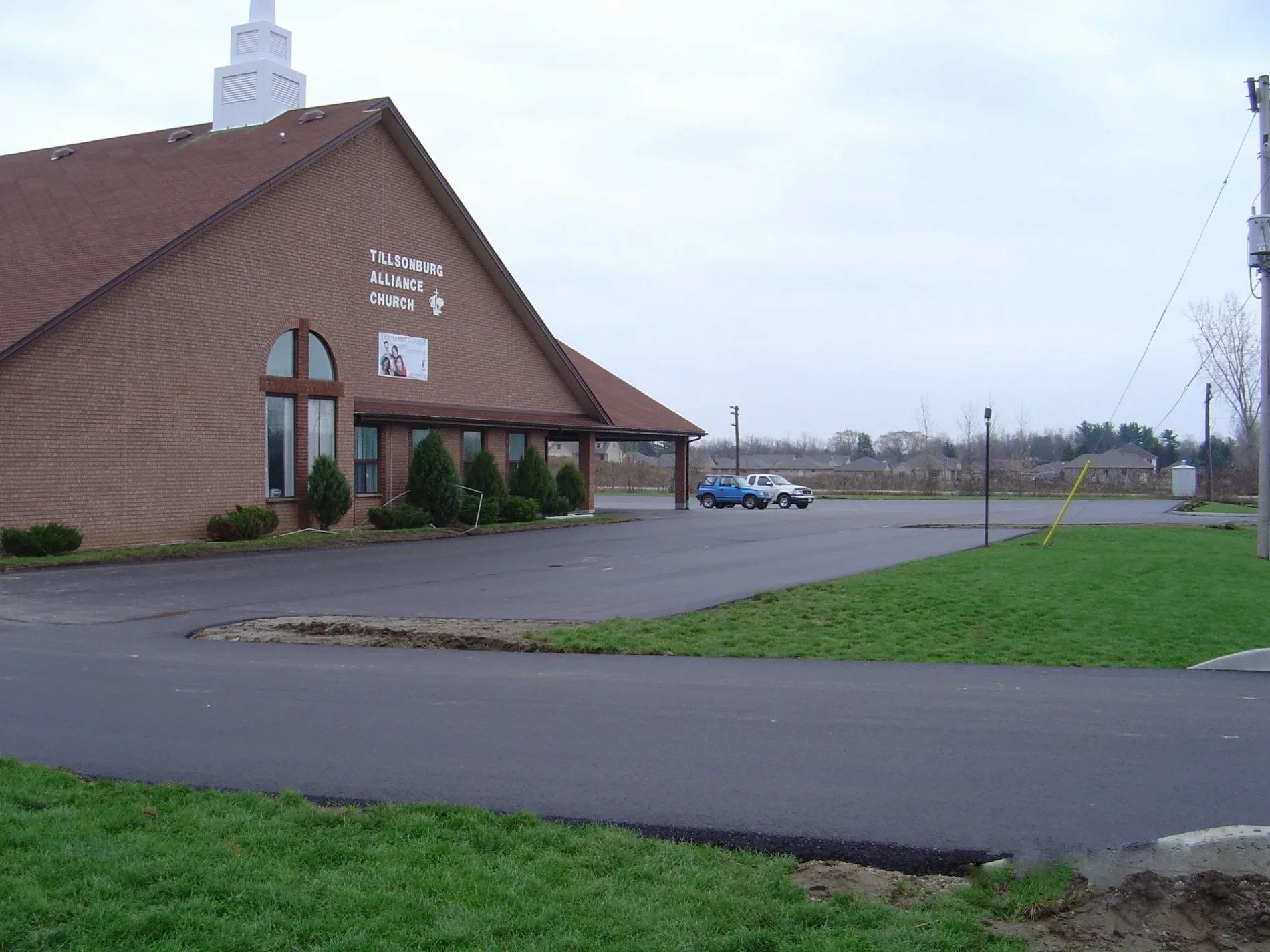
Tillsonburg Alliance Church400 m
Bethel Pentecostal Church650 m
Residential areas nearby
Remore Mobile Home Park50 m
Supermarkets nearby
Sobeys600 m
Public transport map Tillsonburg Legend
| Railway | |
| Bus | |
| Tram |
Cycling map Tillsonburg Legend
| Cycle path | |
| Cycle lane on road | |
| Cycling on bus lane | |
| Bicycle street | |
| Cyclists allowed | |
| Cyclists allowed, good surface | |
| No cycling | |
| Cobblestones |
| Long-distance cycle route | (depending on scale) | |
| Long-distance cycle route |
Walking map Tillsonburg Legend
| Path |
| Long-distance hiking trail | (depending on scale) | |
| Long-distance hiking trail | ||
| No pedestrians |