
Byron Avenue in The Pocket, Toronto, Ontario
Byron Avenue in Toronto, The Pocket is a two-lane, asphalted, lit residential street (30 km/h). It runs in a north-south direction starting from Danforth Avenue and ends at Chatham Avenue. In the vicinity, there is a bar. The nearest bus stop in the vicinity is Donlands Avenue (approx. 150 m away).
- Road Type
- residential street
- Speed Limit
- 30
- Lanes
- 2
- Route
- north-south
Image
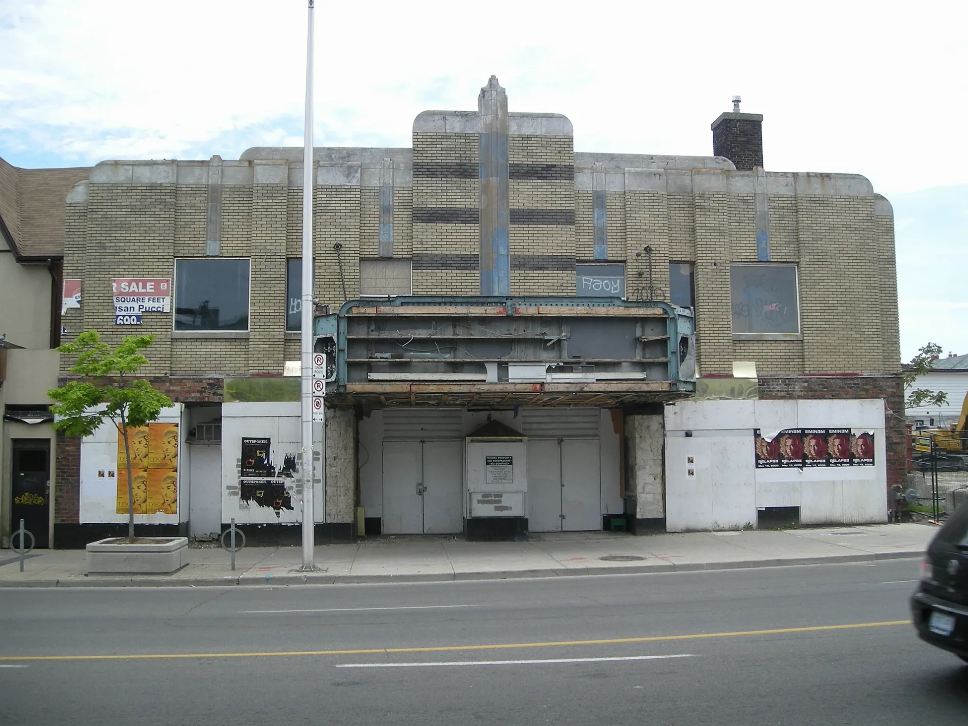
Bar
Roads nearby
Caithness AvenueDanforth Karate Academy
50 m
Danforth AvenueDanforth Community Church, Madina Halal Pizza & Chicken Wings, Laundromat On the Danforth, Drug Basics Pharmacy, North American Islamic Fashion, Smell & Smile Perfumes, New Al-Madina Grocery & Halal Meat Store, Mumtaz Groceries, Kabsa Mandi Restaurant, The Burrito Bros/The Burger Bros, World Ways Travel, Makkah Restaurant, Muzda Bakery, AMN Driving School, Adam Driving School, Danforth Mobile, Danforth Pizza House, Riverdale Animal Hospital, Danforth Family Dentistry, Freedom Mobile, Woine Beauty Supply & Salon, Masellis Supermarket, Fortuna Clearance & Binz Store, Wardrobe for Men, Galata, Black Velvet Collection, QTech, Strategy Games, Mail Box Plus, Oasis, Shisha Marquise, Secret Planet, El Rincon Guerrerense, Absports, MH Liquidation, Syllogy Inc., Vybez Supply, Taqueria El Tapatio, AHW Travel & Tours Ltd., Wireless Deals, Ratas Optical, Greenwood Avenue, Danforth Central Walk-In Clinic & Pharmacy, Danforth Variety, Moonlight Pub, Money Mart, Mississaugas of the Credit Medicine Wheel, LCBO, Wing Machine, Danforth Medical Pharmacy, Comprehensive Treatment Clinic, South Riverdale Community Health Centre, Zobel Ethiopian Restaurant, Rails and Ales, Danforth Auto Tech, Chaiiwala of London, The Florist's Loft, Donlands Avenue, Navito World, Indo Canada Bakery, Hair Love, Women's Withdrawal Management Services, The Only Cafe, The One in the Only, City Fried Chicken & Pizza, Mavlana Hair Stylist, Lashar Rugs, The Only Backpacker's Inn, Le Dental Care Dr. Maria Le & Associates, JL Rainbow Nail, Danforth Milk Store, Mo's Food & Variety, Men's Withdrawal Management Services, Fuego's, Jones Avenue, Cash for Gold, Amplifon, Abyssinia, Danforth Dragon Restaurant, Empire Wireless, Stop Variety, Circus Books & Music, Kawartha Dairy, Sammi, Greystone Hair Studio, Sakawa Coffee
100 m
Chan Lane150 m
Phin Avenue150 m
Chatham AvenueChatham Ave / Byron Ave
200 m
Donlands AvenueMilverton Boulevard
200 m
Oakvale Path250 m
Euston Avenue250 m
Ben Kerr LaneMadina Masjid, Domino's, Pet Valu, Square Boy, Peters Travel & Tours, Enterprise
250 m
Oakvale Avenue250 m
Donlands Bus TerminalDonlands Station, Donlands Avenue
250 m
Lydia Court300 m
Phin Park Access300 m
Phin Park TrailSubway Academy I
300 m
Pocket Trail350 m
Andy Masellis LaneDonlands Variety, Caramel Coffee Shop
350 m
Strathmore BoulevardCoxwell, Strathmore Boulevard, Woodbine Subway Station, Woodbine / Strathmore Northwest Corner, Greenwood, Donlands, Metamorphosis Child Care Centre, Donlands Subway Station
400 m
Ravina Crescent400 m
Baltic Avenue400 m
Fielding Avenue400 m
Milverton BoulevardThe Corner Shop
450 m
Earl Grey Road450 m
Queen Victoria StreetThe Pocket
450 m
Seymour Avenue450 m
Condor Avenue450 m
Dew Lang Lane450 m
Baird Avenue450 m
Harcourt Avenue450 m
Langford AvenueLangford Ave / Danforth Ave - SMART, Benjamin Moore
450 m
Jones AvenueMetro Dry Cleaners, Cash Money, Uncle Don's, Estonian Mission Covenant Church, Jones Ave at Strathcona Ave, Ram Upholstery, Boultbee Avenue, Jones Ave at Danforth Ave, Jones Ave at Baird Ave, Jones Ave at Shundell Ave
500 m
Dawson Avenue500 m
Strathcona AvenueWang's Variety
550 m
Railways nearby
TTC Greenwood Yard300 m
Apartment buildings nearby
Sunday School Lofts400 m
Buildings nearby
St. David's Tower200 m
Colleges nearby
Jones Adult ESL Centre550 m
Dog parks nearby
The Pocket350 m
Fire stations nearby
Toronto Fire Station #323150 m
Industrial buildings nearby
Greenwood Substation150 m
Parks nearby
Oakvale Green250 m
Phin Park350 m
24 Dewhurst Blvd Park400 m
Places of worship nearby
St. David's Anglican Church/St. Andrew's Japanese Church150 m
Metamorphosis Pou Sotiros Greek Orthodox Church250 m
Hazelwood Baptist Church450 m
Railway stations nearby
Donlands200 m
Residential areas nearby
Greenwood Towers250 m
Restaurants nearby
Taqueria El Pastorcito200 m
Subway lines nearby
Line 2 Bloor-Danforth250 m
Public transport map The Pocket Legend
| Railway | |
| Bus | |
| Tram |
Cycling map The Pocket Legend
| Cycle path | |
| Cycle lane on road | |
| Cycling on bus lane | |
| Bicycle street | |
| Cyclists allowed | |
| Cyclists allowed, good surface | |
| No cycling | |
| Cobblestones |
| Long-distance cycle route | (depending on scale) | |
| Long-distance cycle route |
Walking map The Pocket Legend
| Path |
| Long-distance hiking trail | (depending on scale) | |
| Long-distance hiking trail | ||
| No pedestrians |