
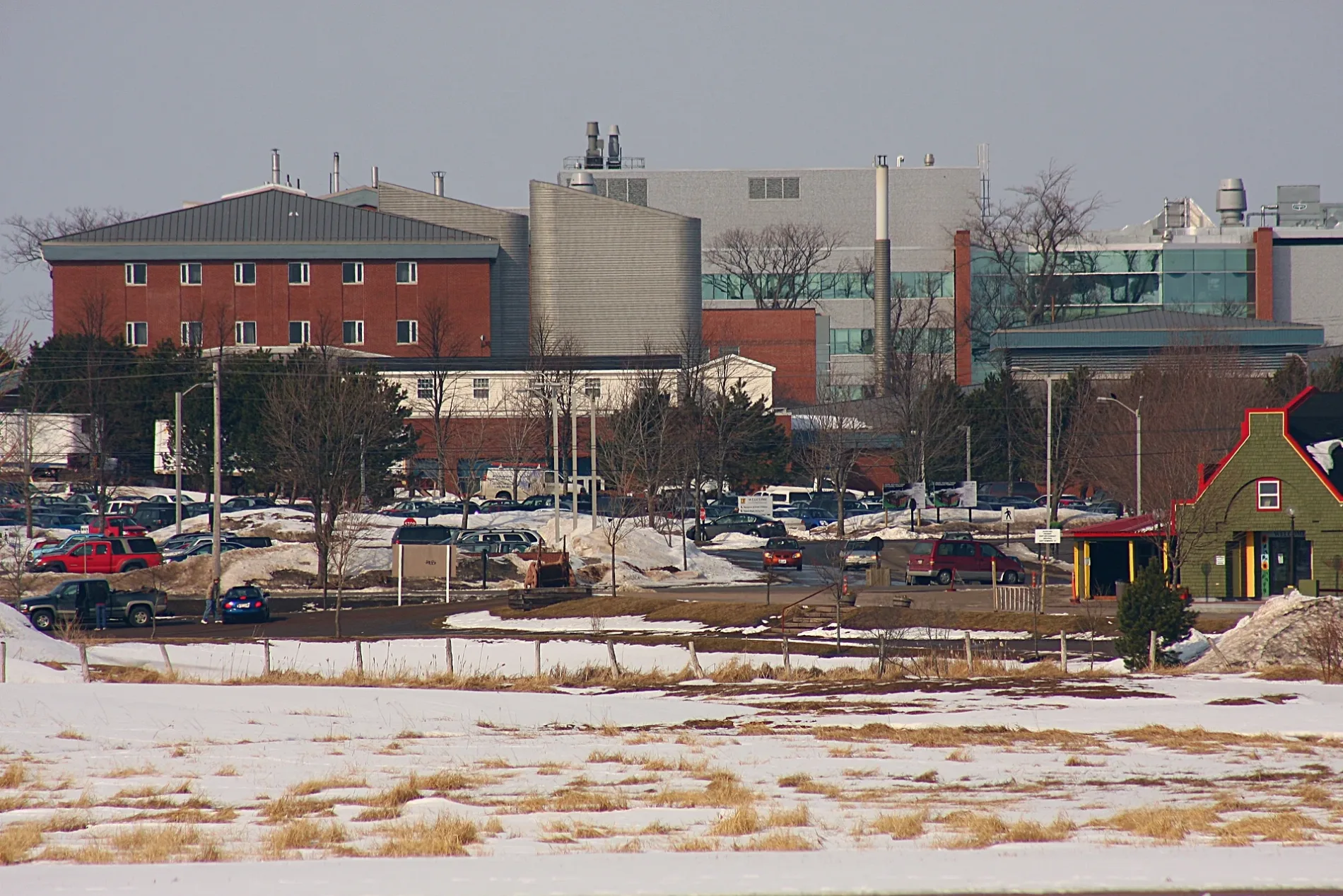
Crown Drive in Charlottetown
Crown Drive in Charlottetown is a service road and it runs in a east direction starting from Lily Pond Drive and ends at Ravenwood Drive East.
- Road Type
- service road
- Route
- east-west
Image
Restaurants
Opticians
Cafés
Artwork
Car repair shops
Pharmacy
Bus stops
Charging stations
Jewellers
Stations
Petrol stations
Fast food restaurants
Sports shops
Doctor's office
Bar
Second-hand shops
Cannabis shops
Convenience stores
Farm shops
Pet shops
Roads nearby
Ravenwood Drive East150 m
Indigo Crescent250 m
Lily Pond Drive250 m
Harley Street300 m
Ardgowan National Historic Site Trails300 m
Allen StreetTrophy Hut, EV Charger, Mission Thrift Store
400 m
Gower Street450 m
Mount Edward RoadCharlottetown Terminal, Matheson Eyewear
450 m
St Peters RoadStogies, Sumikko Market, Irving Oil, Fire Hall & St. Peters Road, Quiznos, Razzy's Road House, Whisperwood, East Royalty, Subway, Needs, Trail Map, Petro-Canada
500 m
Confederation Trailbar1911, Red Island Cider, The 5th Wave Espresso & Tea Bar, Sustainable Design Engineering
500 m
Jordan Crescent500 m
Beasley Avenue550 m
First Street550 m
Lapthorn Avenue600 m
Plywood Place600 m
John Street650 m
Gerald StreetJane's Dumplings
650 m
Belmont Street700 m
Orlebar Street700 m
Gay Avenue700 m
Alexander Drive750 m
Longworth Avenue750 m
Amenities nearby
Superstars Daycare600 m
Allotment gardens nearby
Farm Centre Legacy Garden250 m
Body of waters nearby
Lily Pond200 m
Buildings nearby
Ardgowan350 m
Borden Myers500 m
Cafés nearby
Tim Hortons350 m
Car dealerships nearby
Experience Hyundai300 m
Discover Kia300 m
Subaru of Charlottetown350 m
Car parts shops nearby
AutoChoice700 m
Car repair shops nearby
Dave's Service Centre650 m
DCD Auto Electric650 m
Cemeteries nearby
Longworth Avenue Roman Catholic Cemetery650 m
Commercial areas nearby
Van Kampen's Greenhouses600 m
Commercial buildings nearby
Freedom 55 Financial500 m
Source Atlantic600 m
Houses nearby
Ravenwood50 m
Industrial areas nearby
Irving Oil Charlottetown Propane Depot250 m
Parks nearby
Ardgowan National Historic Site350 m
St Avard's Triangle500 m
Orlebar Park600 m
Pawnbrokers nearby
Most Wanted450 m
Pharmacies nearby
Murphy's Parkdale Pharmacy500 m
Places of worship nearby
Baha'i Faith Charlottetown Centre600 m
Restaurants nearby
Thai Pad350 m
Famous Peppers500 m
Sheds nearby
Tool Shed450 m
Public transport map Charlottetown Legend
| Railway | |
| Bus | |
| Tram |
Cycling map Charlottetown Legend
| Cycle path | |
| Cycle lane on road | |
| Cycling on bus lane | |
| Bicycle street | |
| Cyclists allowed | |
| Cyclists allowed, good surface | |
| No cycling | |
| Cobblestones |
| Long-distance cycle route | (depending on scale) | |
| Long-distance cycle route |
Walking map Charlottetown Legend
| Path |
| Long-distance hiking trail | (depending on scale) | |
| Long-distance hiking trail | ||
| No pedestrians |