
Tunnel in Charlottetown
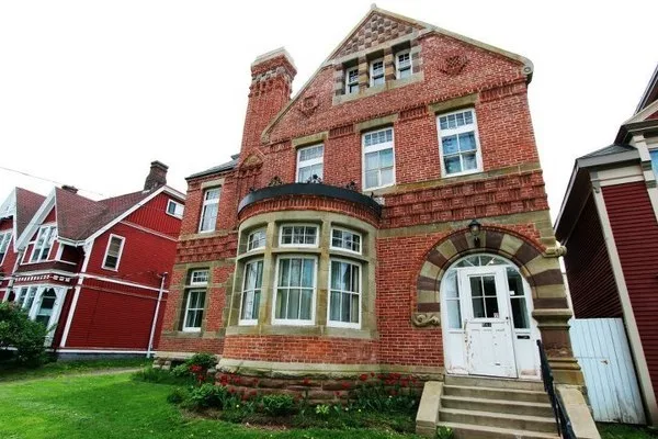
Tunnel in Charlottetown is a pedestrian zone.
- Road Type
- pedestrian zone
- Route
- southeast-northwest
Image
Bar
Pharmacy
Hostel
Beauty salons
Charging stations
Theatres
Massage parlours
Restaurants
Public bookcases
Artwork
- Soldiers Monument (artist: Hamilton McCarthy, R.C.A., bronze). In October 1900, as the first Island contingent was sailing home, a group of Islanders decided there must be a monument to commemorate their heroic efforts. Prominent Charlottetown citizens struck a committee, chaired by Premier Donald Farquhar, a site wa – approx. 400 m.
Bus stops
Hotels
Antique shops
Cafés
Places of worship
Ice cream parlours
Supermarkets
Roads nearby
Hillsborough Street100 m
Hensley Street150 m
Ole King Square200 m
Richmond StreetCHANCES Murphys, Soldiers Monument, Charlottetown Library Learning Centre, Fishbones, John Brown Richmond Street Grille, Northern Watters Knitwear, Receiver Coffee, Row House Lobster Co., Tartan Shop, Details Fine Art Gallery, Sea Rocket, Green Eye Designs
250 m
Prince StreetTiny Lending Library, Fairholm National Historic Inn, Gracy Nails and Beauty Salon, May Inc., Tekila, Alexandra’s Pizza
250 m
Clark StreetPEI VIET Coffee
250 m
Grafton StreetCharlottetown, MacKenzie Theatre, Zion Presbyterian Church, Downtown, Lawtons Drugs, Curry Up & Eat, Dental Clinic, Confederation Centre (North), BMO, COWS, Luna, Subway, Queue, The Pilot House, Ironside Tattoo & Piercing, Holland College Grafton Street, Confederation Centre (South), Holman Grand Hotel, Redwater Rustic Grill, Scooter Rental, Grand Senses
250 m
Fitzroy StreetOcean 100, Fitzroy & Jean Canfield, Slaymaker & Nichols
300 m
Weymouth StreetHolland College Weymouth St.
300 m
King StreetBeaton's Wholesale, Downtown Convenience, Kettle Black, PEI Photo Lab, Pink Crow
350 m
Robin's Donuts Drivethru350 m
Routes for Nature and Health350 m
Longworth Avenue450 m
Cumberland Street450 m
Edward Street500 m
Confederation Trailbar1911, Red Island Cider, The 5th Wave Espresso & Tea Bar, Sustainable Design Engineering
550 m
Euston StreetKKP Charlottetown
600 m
Buildings nearby
Perfection Foods350 m
Apartment buildings nearby
The Grafton Prince150 m
Kings Square Co-operative Housing150 m
Buildings nearby
Maritime Electric Control Centre350 m
Dorchester Sewer Station400 m
Colleges nearby
Charlottetown Centre250 m
Centre for Community Engagement300 m
Montgomery Hall400 m
Centre for Applied Science & Technology400 m
Commercial buildings nearby
Langille Sharpening Service100 m
Polyclinic Professional Centre150 m
Sterns Launderers & Drycleaners150 m
Canadian Mental Health Association300 m
Community centres nearby
St. Paul's Church Parish Hall300 m
St. John’s Lodge No. 1 and Victoria Lodge No. 2300 m
Convenience stores nearby
Black & White350 m
Needs350 m
Fast food restaurants nearby
Robin's Donuts350 m
Gardens nearby
Trinity Church Community Garden250 m
Hostel nearby
Charlottetown Backpackers Inn200 m
Hotels nearby
The Sydney Boutique Inn & Suites200 m
Houses nearby
Trinity Church Manse250 m
Industrial areas nearby
Maritime Electric Diesel Generator400 m
Industrial buildings nearby
Purity Dairy400 m
Parks nearby
Hillsborough Square150 m
King Square200 m
Petrol stations nearby
Petro-Canada400 m
Places of worship nearby
Central Christian Church200 m
Trinity United Church300 m
Playgrounds nearby
Trinty Church Daycare Playground250 m
Residential buildings nearby
Cumberland Residence300 m
Glendenning Hall400 m
Public transport map Charlottetown Legend
| Railway | |
| Bus | |
| Tram |
Cycling map Charlottetown Legend
| Cycle path | |
| Cycle lane on road | |
| Cycling on bus lane | |
| Bicycle street | |
| Cyclists allowed | |
| Cyclists allowed, good surface | |
| No cycling | |
| Cobblestones |
| Long-distance cycle route | (depending on scale) | |
| Long-distance cycle route |
Walking map Charlottetown Legend
| Path |
| Long-distance hiking trail | (depending on scale) | |
| Long-distance hiking trail | ||
| No pedestrians |