
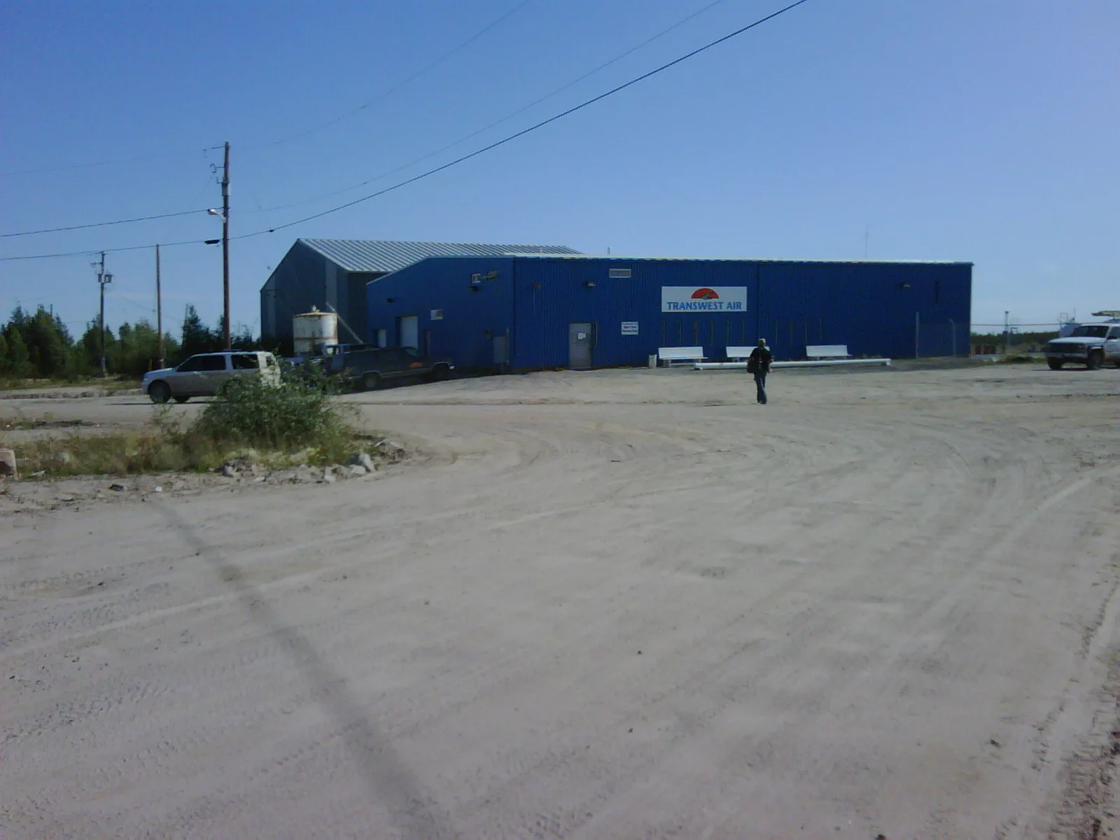
Stony Rapids Airport in Stony Rapids, Saskatchewan
Stony Rapids Airport in Stony Rapids is an airfield (IATA: YSF, ICAO: CYSF). Stony Rapids Airport is also known as YSF. Ⓦ.
Roads nearby
Highway 9666,1 km
Body of waters nearby
Stony Rapids1,4 km
Kostenly Lake6,8 km
General stores nearby
Scott's General Store400 m
Hospitals nearby
Athabasca Health Facility1,2 km
Places of worship nearby
Church of Our Lady of Good Counsel750 m
Schools nearby
Stony Rapids School500 m
Streams nearby
Langley Creek3,8 km
Carp River3,9 km
Hanson Creek7,8 km
Patterson Creek8,4 km
Supermarkets nearby
Northern Store800 m
| Elevation | 801 |
|---|---|
| Operator | Ministry of Highways and Infrastructure |
| Located in | Saskatchewan |
| Country | Canada |
Public transport map Stony Rapids Legend
| Railway | |
| Bus | |
| Tram |
Cycling map Stony Rapids Legend
| Cycle path | |
| Cycle lane on road | |
| Cycling on bus lane | |
| Bicycle street | |
| Cyclists allowed | |
| Cyclists allowed, good surface | |
| No cycling | |
| Cobblestones |
| Long-distance cycle route | (depending on scale) | |
| Long-distance cycle route |
Walking map Stony Rapids Legend
| Path |
| Long-distance hiking trail | (depending on scale) | |
| Long-distance hiking trail | ||
| No pedestrians |