
Gibraltar Skywalk
Gibraltar Skywalk in Gibraltar is a footpath and is a footbridge and runs in a north-south direction. In the vicinity, there is a viewpoint. The nearest bus stop in the vicinity is Both Worlds Terminus (approx. 300 m away).
- Road Type
- footpath
- Route
- north-south
Image
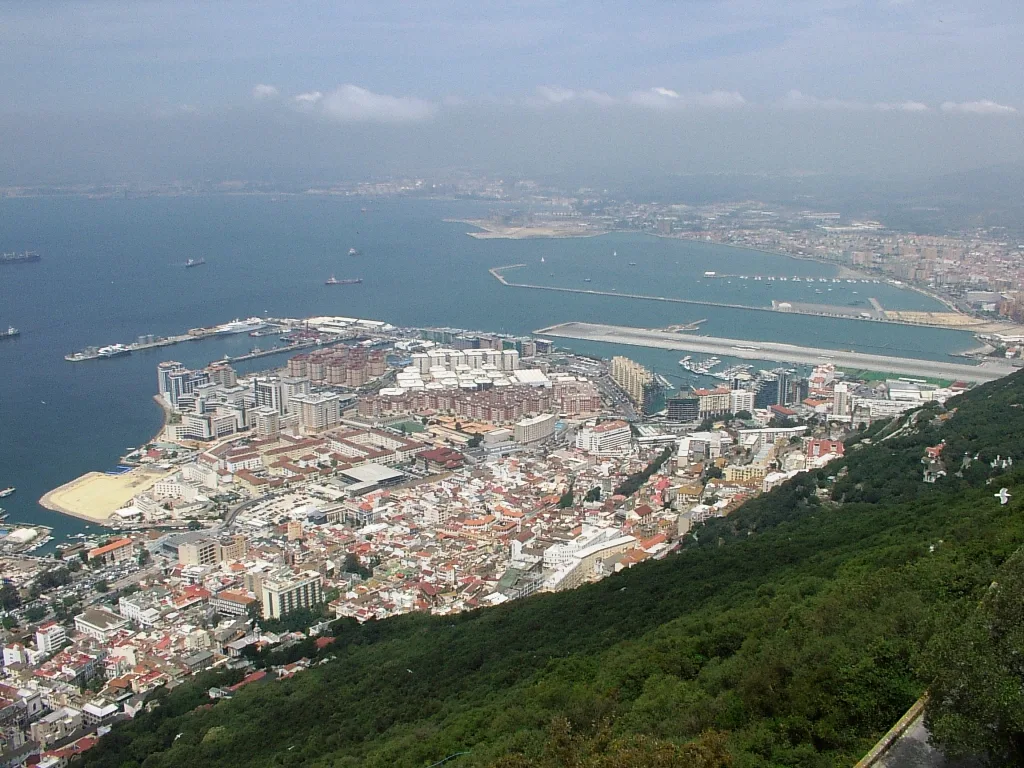
Viewpoint
Roads nearby
Douglas PathRock of Gibraltar, Breakneck Battery
50 m
Royal Anglian WayGibraltar
200 m
Windsor Suspension BridgeWindsor Suspension Bridge, Hayne's Cave Battery
250 m
St Michael's RoadCable Car Top Station, Top of the Rock Café, West Terrace, Gibraltar Nature Reserve Walking Trails, Top Monkey Feeding Station, Prince Philip's Arch 130m. Cable Car Top Station 360m., Ticket Office
300 m
Old Queen's RoadCable Car Middle Station, Apes' Den, Prince Philip's Arch 290m. Skywalk 420m. Genoese Battery 300m., Ince's Farm, Queen's Balcony, St Michael's Cave 315m. Apes' Den 420m. Jews Gate 900m.
350 m
Great North RoadGreat North Road
350 m
Fosse Way350 m
Charles V Road400 m
Queen's RoadInglis Way, Tovey Battery
400 m
Admiralty tunnelSandpits view
400 m
North Terrace400 m
Green LaneGreen Lane Northbound, Devil's Gap Battery, Green Lane Southbound
400 m
Signal Station RoadGovernor's Lookout Battery
500 m
Ohara's RoadO'Hara's Battery, Start/End Point of Mediterranean Steps
500 m
Old cemetery areaThe Alameda Open Air Theatre, Alameda Wildlife Conservation Park
500 m
Sir Herbert RoadLa mamela, Hassan Centennary, Eastern Beach, William's Way, Catalan Bay, Black Strap Cove, Caleta Hotel, Both Worlds Terminus
500 m
Giuseppe Codali BridgeGiuseppe Codali (1847-1917), Gibraltar Castle and Key
550 m
Sandpits550 m
Spur Battery RoadSt Michael's Cave, Gift Shop, St Michael's Cabin, Royal Anglian Way
600 m
South Barrack RoadShorthorn Farm, Schomberg, Matilde Francis Building (Francis Flats)
600 m
St Bernard's Road600 m
Gardiner's RoadGardiner's Road, The Magazine Studio Theatre, Gardiners road, Rock Gardens
600 m
Engineer RoadMount Alvernia, Griffon house, Goldcrest views, 2B ENGINEERS ROAD
600 m
South Barrack Mews600 m
Witham's RoadPlata Villa
650 m
Upper Witham's RoadKnights court
700 m
Mediterranean StepsLord Airey's Battery
700 m
Brian Navarro Way750 m
Nature nearby
Ailsa Craig600 m
Baies nearby
Sandy Bay500 m
Beaches nearby
Algarrobo Beach450 m
Buildings nearby
"Moorish" lookout post100 m
Old Cable Car300 m
Signal Station300 m
Old Casino400 m
Library and Exibition600 m
Cemeteries nearby
Witham's Cemetery550 m
Gardens nearby
The Italian Gardens in the Dell500 m
Hospitals nearby
King George V Hospital (KG5)550 m
Hotels nearby
The Rock Hotel Pool Area400 m
The Rock Hotel450 m
Residential areas nearby
Alameda Estate600 m
Restaurants nearby
Mons Calpe Suite400 m
Sheds nearby
Withams Road650 m
Sports pitches nearby
Sandpits tennis courts500 m
Tourist information offices nearby
The Nature Shop600 m
Transport buildings nearby
Cable Car Top Station350 m
Zoo nearby
Alameda Wildlife and Conservation Park450 m
Other nearby
Charles V Wall250 m
Public transport map Gibraltar Legend
| Railway | |
| Bus | |
| Tram |
Cycling map Gibraltar Legend
| Cycle path | |
| Cycle lane on road | |
| Cycling on bus lane | |
| Bicycle street | |
| Cyclists allowed | |
| Cyclists allowed, good surface | |
| No cycling | |
| Cobblestones |
| Long-distance cycle route | (depending on scale) | |
| Long-distance cycle route |
Walking map Gibraltar Legend
| Path |
| Long-distance hiking trail | (depending on scale) | |
| Long-distance hiking trail | ||
| No pedestrians |