
Athol Court in Port Erin
Athol Court in Port Erin is a residential street. It runs in a northeast-southwest direction starting from Erin Way.
- Road Type
- residential street
- Speed Limit
- 20 mph
- Postal Code
- IM9 6EJ
- Route
- northeast-southwest
Image
Post boxes
Travel agencies
Hardware shops
Library
Fast food restaurants
Furniture shops
Bus stops
Hairdressers
Car dealerships
Veterinary clinic
Clinic
Laundries
Restaurants
Cafés
Charity shops
Ice cream parlours
Artwork
Florist's
Roads nearby
Ballahane Close100 m
Droghadfayle Road100 m
Shirragh Way150 m
Erin Crescent200 m
Beacon Croft Lane250 m
Erin View250 m
Athol ParkAthol Park Chinese Restaurant
250 m
Truggan Close250 m
Sunnydale Avenue250 m
Erin Way250 m
Droghadfayle Park300 m
Erin Close300 m
Erin Lane300 m
Erin Rise300 m
Edremony350 m
Station RoadStation Road Shelter, Thompson Travel, Cafe Red, Station Road, Versa, Port Erin, Railway Station, The Whistlestop Coffee Shop, Port Erin Railway Station
350 m
Ballamaddrell400 m
Ballafesson RoadMarashen Crescent
450 m
Close Corneil450 m
Bayr y TrooanBallahane
450 m
Marashen Crescent500 m
Castletown RoadRosien Dental, Southlands, Rheyrt-y-Chrink
550 m
Howe Road750 m
Buildings nearby
Rushen United FC250 m
Rushen Scout and Guide Headquarters300 m
The Royal British Legion300 m
Campsite nearby
Glendown Farm Camping and Glamping400 m
Chalet nearby
The Stable at Glendown Farm450 m
Chapels nearby
Cringle & Co Ltd350 m
Churches nearby
Methodist Church Hall350 m
Convenience stores nearby
Spar350 m
Farmyards nearby
Glendown450 m
Fitness centres nearby
Southern Fitness250 m
Guest house nearby
West Lodge500 m
Houses nearby
Glendown House400 m
Industrial buildings nearby
Rushen Emergency Ambulance300 m
Edremony Substation300 m
Port Erin and Port St Mary telephone exchange300 m
Narrow-gauge railways nearby
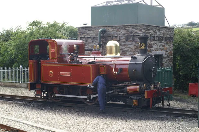
Isle of Man Steam Railway200 m
Office buildings nearby
Staff Development Centre, Department of Home Affairs350 m
Petrol stations nearby
DGP Station Road Garage Ltd350 m
Places of worship nearby
Methodist Church Port Erin350 m
Port Erin Gospel Church500 m
Saint Columba's Roman Catholic Church550 m
Platforms nearby
Port Erin, Railway Station300 m
Pubs nearby
Kerroo Brewing Company250 m
The Haven350 m
Residential areas nearby
Ballahane Upper450 m
Sports pitches nearby
Port Erin Crown Green Bowls Club300 m
 Public transport map Port Erin Legend
| Railway | |
| Bus | |
| Tram |
 Cycling map Port Erin Legend
| Cycle path | |
| Cycle lane on road | |
| Cycling on bus lane | |
| Bicycle street | |
| Cyclists allowed | |
| Cyclists allowed, good surface | |
| No cycling | |
| Cobblestones |
| Long-distance cycle route | (depending on scale) | |
| Long-distance cycle route |
 Walking map Port Erin Legend
| Path |
| Long-distance hiking trail | (depending on scale) | |
| Long-distance hiking trail | ||
| No pedestrians |