
Droghadfayle Road in Port Erin
Droghadfayle Road in Port Erin is a residential street. It runs in a north-south direction starting from Station Road and crosses Athol Park, Erin Way and Droghadfayle Park and ends at Shirragh Way.
- Road Type
- residential street
- Speed Limit
- 30 mph
- Route
- north-south
Image
Charity shops
Travel agencies
Car dealerships
Fast food restaurants
Events venues
Artwork
Bus stops
- bus lines 1
Hardware shops
Library
Laundries
Post boxes
Cafés
Hairdressers
Restaurants
Clinic
Florist's
Furniture shops
Roads nearby
Bridson StreetKen Quine
150 m
Close Famman200 m
Lhag Beg200 m
Edremony200 m
Orchard RoadGeorge Herdman Library
200 m
Close Corneil200 m
Orchard WalkNot Only Backs Osteopathic Clinic, Hospice Shop, Simple Chargrill and Pizza, Dolyn’s Barbershop, Posh Wash Launderette, Southern Charitable Causes, The Flower Studio, Tangles, Martha & Molly’s Cake Workshop
200 m
Church RoadPort Erin, The Good Health Store, Franklins
250 m
Athol ParkAthol Park Chinese Restaurant
250 m
Lhag Mooar300 m
Close Cam300 m
Ballafesson RoadMarashen Crescent
300 m
Ballahane Close350 m
Bay View RoadBay View Road / Nelson Street, Bay View Road / Harrison Street, Bay View Road / Ballakneale Avenue
350 m
Ballakneale Avenue350 m
Ballamaddrell350 m
Harrison Street350 m
Athol Court350 m
Grammah Avenue400 m
Thornhill Close400 m
Ballakneale Close500 m
Shops nearby
Trend200 m
Tourism nearby
Cherry Orchard150 m
Bicycle shops nearby
Erin Bike Hut150 m
Buildings nearby
The Royal British Legion100 m
Rushen Scout and Guide Headquarters100 m
Rushen United FC200 m
Museum Building200 m
Port Erin Commissioners250 m
Chapels nearby
Cringle & Co Ltd50 m
Churches nearby
Methodist Church Hall50 m
Community centres nearby
Rushen Youth Centre300 m
Convenience stores nearby
Spar100 m
Fitness centres nearby
Southern Fitness150 m
Industrial buildings nearby
Edremony Substation100 m
Port Erin and Port St Mary telephone exchange100 m
Rushen Emergency Ambulance100 m
Narrow-gauge railways nearby
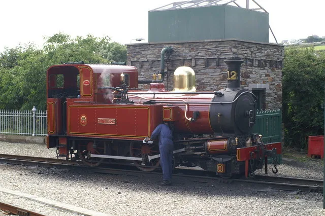
Isle of Man Steam Railway150 m
Office buildings nearby
Staff Development Centre, Department of Home Affairs100 m
Perfumeries nearby
Soaral200 m
Petrol stations nearby
DGP Station Road Garage Ltd150 m
Places of worship nearby
Methodist Church Port Erin50 m
Grace Baptist Church Port Erin250 m
Platforms nearby
Port Erin, Railway Station200 m
Pubs nearby
Kerroo Brewing Company150 m
The Haven150 m
Stations nearby
Port Erin Railway Station200 m
Supermarkets nearby
Tesco250 m
Tourist information offices nearby
Rushen Heritage Centre200 m
 Public transport map Port Erin Legend
| Railway | |
| Bus | |
| Tram |
 Cycling map Port Erin Legend
| Cycle path | |
| Cycle lane on road | |
| Cycling on bus lane | |
| Bicycle street | |
| Cyclists allowed | |
| Cyclists allowed, good surface | |
| No cycling | |
| Cobblestones |
| Long-distance cycle route | (depending on scale) | |
| Long-distance cycle route |
 Walking map Port Erin Legend
| Path |
| Long-distance hiking trail | (depending on scale) | |
| Long-distance hiking trail | ||
| No pedestrians |