
Aitken Street in Ashburton District
Aitken Street in Ashburton District is an asphalted residential street. It runs in a southeast-northwest direction starting from East Street and crosses Cass Street and William Street and ends at Chalmers Avenue.
- Road Type
- residential street
- Route
- southeast-northwest
Image
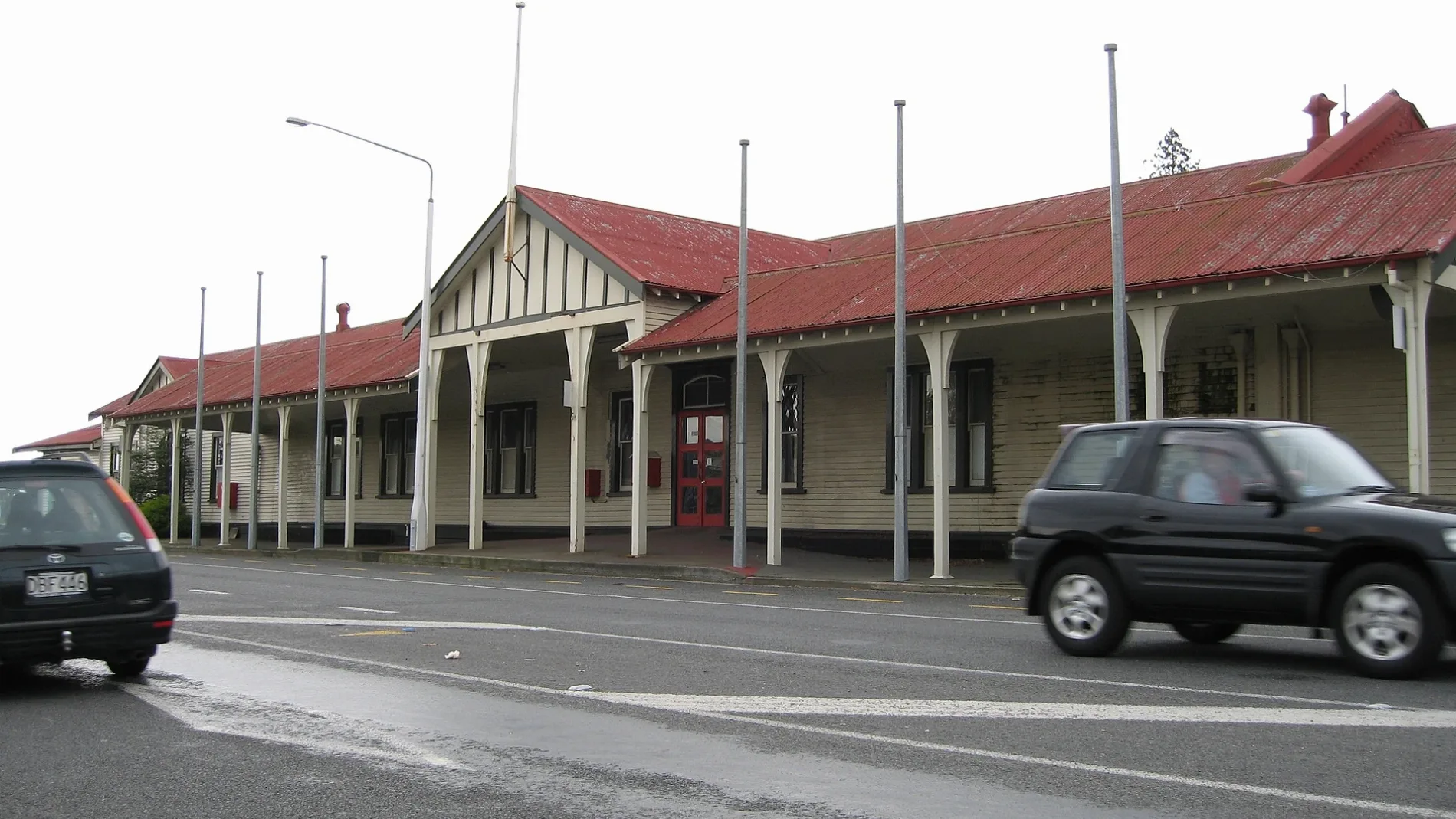
Car parts shops
Hairdressers
Hardware shops
Library
Bus stops
Mobile phone shops
Cafés
Car dealerships
Fast food restaurants
Supermarkets
Public clocks
Restaurants
Off-licences
Pharmacy
Bank
Petrol stations
Artwork
Hostel
Jewellers
Roads nearby
Grey StreetRepco
150 m
William Street200 m
Cox Street300 m
Peter Street350 m
Wills StreetTaste Cafe, Jatt Cuts, Wises Pharmacy, Ming Wah
400 m
Georgia Lane400 m
Chalmers Avenue450 m
Walnut AvenueAshburton Toyota, Mobil
450 m
Princes StreetNetherby
500 m
McLean Street500 m
Rapley Street500 m
East StreetAshburton, Ashburton Town Clock, 95/Main South Line, Blacks Fasteners, BarginMe, Comodore Motorlodge, 94/Main South Line, Ton's Thai, Heartland Bank, Ashburton Coach Stop, Life Pharmacy, Whitcoulls, Paper Plus, NZPost, House Of Travel, The Phone Station, Robinsons, Bank Of New Zealand, Farmers
550 m
Eton Street550 m
Kerr Street550 m
West StreetAshburton (West St), Formosa, Bella Vista, Robert Harris
550 m
Wakanui RoadElgin
550 m
Victoria Street600 m
Ashburton Overbridge650 m
Cass StreetSt Pierre's Sushi, Sweet Dreams, Coffee Culture, The Ottoman, Joes Garage, Sals Authentic New York Pizza, RE Burger
650 m
Cass Shared PathAshburton Safer Community Council
650 m
Nelson Street700 m
Patching Street750 m
Burnett StreetThe Somerset Grocer, NBS
800 m
Hugh Street800 m
Bird Street800 m
Reddecliffe Crescent800 m
Wellington Street850 m
Pratley Crescent850 m
Tancred StreetRamblers Rest Backpackers, The Bottle-O
900 m
Oxford Street950 m
Beatty Crescent950 m
Cambridge StreetHampstead
950 m
Buildings nearby
The Salvation Army500 m
Ashburton telephone exchange600 m
Cinemas nearby
Regent Cinema450 m
Events venues nearby
Ashburton Event Centre450 m
Furniture shops nearby
Office Spot Ashburton500 m
Industrial areas nearby
KiwiRail Container Terminal550 m
Parks nearby
Digby Park550 m
Ashburton Domain550 m
Friedlander Park750 m
Places of worship nearby
Ashburton Seventh-Day Adventist Church550 m
Grace Presbyterian Church of Ashburton / Evangelical Presbyterian Church550 m
Baring Square Methodist Church650 m
Post offices nearby
New Zealand Post650 m
Second-hand shops nearby
Salvation Army Family Store400 m
Sports pitches nearby
Digby Park Tennis Courts600 m
Stadiums nearby
Oxford Street Sports Centre850 m
Supermarkets nearby
Woolworths450 m
 Public transport map Ashburton District Legend
| Railway | |
| Bus | |
| Tram |
 Cycling map Ashburton District Legend
| Cycle path | |
| Cycle lane on road | |
| Cycling on bus lane | |
| Bicycle street | |
| Cyclists allowed | |
| Cyclists allowed, good surface | |
| No cycling | |
| Cobblestones |
| Long-distance cycle route | (depending on scale) | |
| Long-distance cycle route |
 Walking map Ashburton District Legend
| Path |
| Long-distance hiking trail | (depending on scale) | |
| Long-distance hiking trail | ||
| No pedestrians |