
Georgia Lane in Ashburton District
Georgia Lane in Ashburton District is a residential street. It runs in a northeast-southwest direction starting from Walnut Avenue.
- Road Type
- residential street
- Route
- northeast-southwest
Image
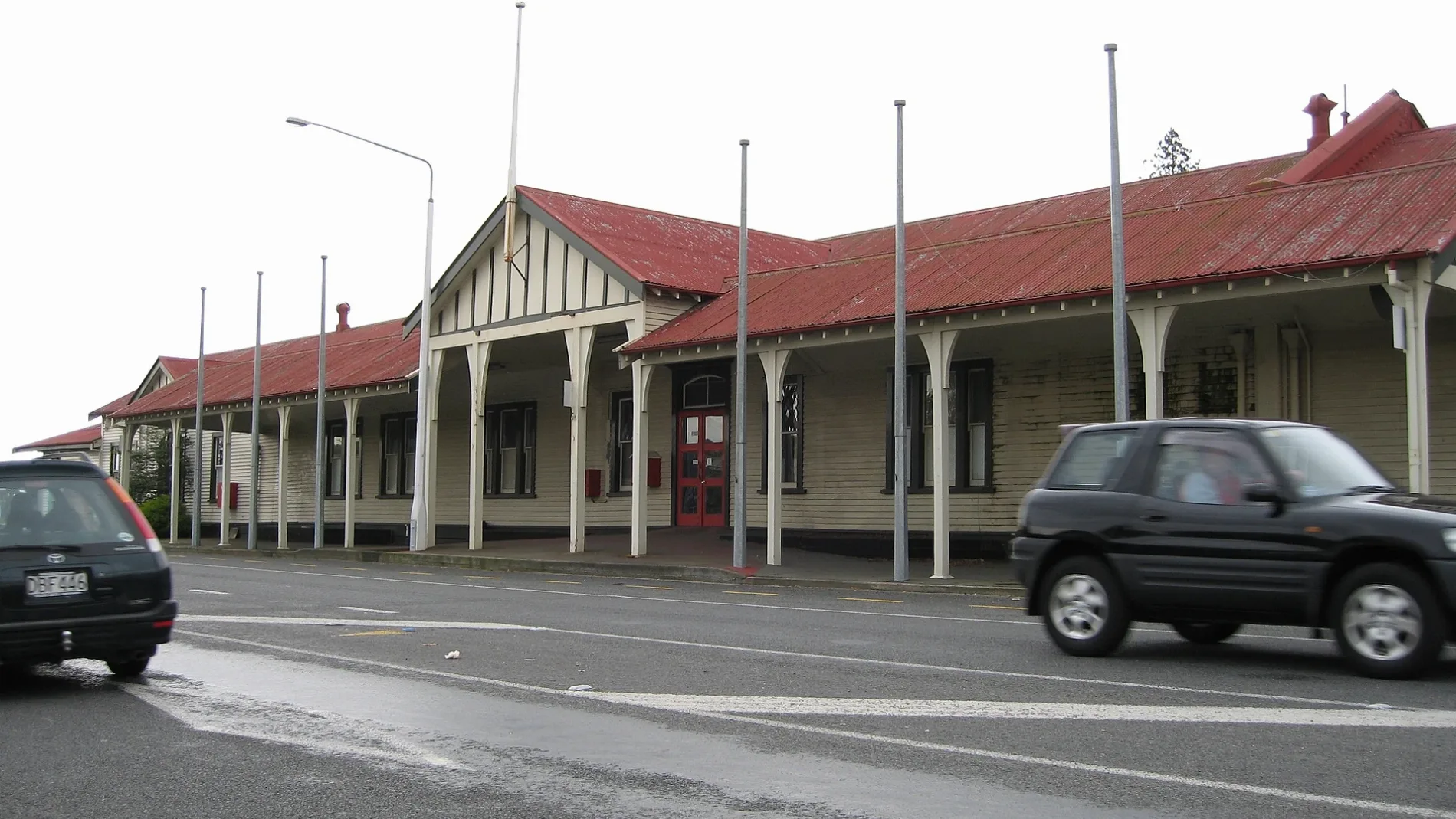
Car dealerships
Petrol stations
Hairdressers
Supermarkets
Library
Restaurants
Cafés
Car parts shops
Pharmacy
Artwork
Attraction
Jewellers
Motel
Bank
Hardware shops
Fast food restaurants
Public clocks
Bus stops
Roads nearby
McLean Street200 m
East StreetAshburton, Ashburton Town Clock, 95/Main South Line, Blacks Fasteners, BarginMe, Comodore Motorlodge, 94/Main South Line, Ton's Thai, Heartland Bank, Ashburton Coach Stop, Life Pharmacy, Whitcoulls, Paper Plus, NZPost, House Of Travel, The Phone Station, Robinsons, Bank Of New Zealand, Farmers
200 m
Walnut AvenueAshburton Toyota, Mobil
250 m
John Street250 m
Cass StreetSt Pierre's Sushi, Sweet Dreams, Coffee Culture, The Ottoman, Joes Garage, Sals Authentic New York Pizza, RE Burger
250 m
West StreetAshburton (West St), Formosa, Bella Vista, Robert Harris
300 m
Connor Place300 m
Kerr Street300 m
Grey StreetRepco
350 m
Princes StreetNetherby
350 m
Ascot Place400 m
Cox Street400 m
Aitken Street400 m
Peter Street500 m
Orr Street500 m
William Street550 m
Maynard Place550 m
Chalmers Avenue550 m
Ferriman Street550 m
Brucefield Avenue550 m
Kitchener Street600 m
Ashburton Overbridge600 m
Trellech Place650 m
King Street650 m
Queens Drive650 m
Wills StreetTaste Cafe, Jatt Cuts, Wises Pharmacy, Ming Wah
700 m
Victoria Street750 m
Cameron StreetJohn Grigg Memorial
750 m
Buildings nearby
Ashford600 m
The Salvation Army650 m
Mill House650 m
Ashburton telephone exchange700 m
Caravan site nearby
Coronation Holiday Park450 m
Cinemas nearby
Regent Cinema600 m
Commercial areas nearby
Ashford Village600 m
Drains nearby
Wakanui Creek650 m
Events venues nearby
Ashburton Event Centre600 m
Furniture shops nearby
Office Spot Ashburton350 m
Industrial areas nearby
KiwiRail Container Terminal500 m
Museum nearby
Ashburton Art Gallery & Heritage Centre700 m
Parks nearby
Ashburton Domain350 m
Places of worship nearby
Ashburton Seventh-Day Adventist Church550 m
Grace Presbyterian Church of Ashburton / Evangelical Presbyterian Church550 m
Baring Square Methodist Church750 m
Playgrounds nearby
Ashburton Domain Children's Playground500 m
Post offices nearby
New Zealand Post750 m
Second-hand shops nearby
Salvation Army Family Store600 m
Supermarkets nearby
Woolworths500 m
Swimming pools nearby
Paddling Pool for children350 m
 Public transport map Ashburton District Legend
| Railway | |
| Bus | |
| Tram |
 Cycling map Ashburton District Legend
| Cycle path | |
| Cycle lane on road | |
| Cycling on bus lane | |
| Bicycle street | |
| Cyclists allowed | |
| Cyclists allowed, good surface | |
| No cycling | |
| Cobblestones |
| Long-distance cycle route | (depending on scale) | |
| Long-distance cycle route |
 Walking map Ashburton District Legend
| Path |
| Long-distance hiking trail | (depending on scale) | |
| Long-distance hiking trail | ||
| No pedestrians |