
John Street in Ashburton District
John Street in Ashburton District is an asphalted minor road. It runs in a southeast-northwest direction starting from East Street and ends at McLean Street. John Street also exists in Timaru District and Waimate District.
- Road Type
- minor road
- Route
- southeast-northwest
Image
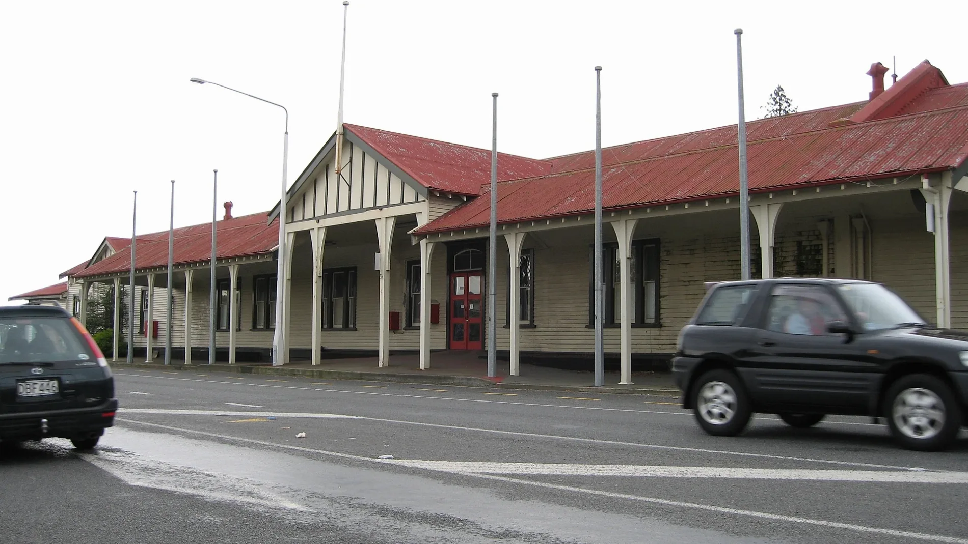
Artwork
Pharmacy
Attraction
Bank
Cafés
Car dealerships
Hardware shops
Fast food restaurants
Public clocks
Bus stops
Motel
Petrol stations
Car parts shops
Hairdressers
Supermarkets
Library
Roads nearby
McLean Street150 m
East StreetAshburton, Ashburton Town Clock, 95/Main South Line, Blacks Fasteners, BarginMe, Comodore Motorlodge, 94/Main South Line, Ton's Thai, Heartland Bank, Ashburton Coach Stop, Life Pharmacy, Whitcoulls, Paper Plus, NZPost, House Of Travel, The Phone Station, Robinsons, Bank Of New Zealand, Farmers
200 m
Georgia Lane250 m
Connor Place250 m
Ascot Place250 m
West StreetAshburton (West St), Formosa, Bella Vista, Robert Harris
250 m
Kerr Street350 m
Ferriman Street400 m
Maynard Place450 m
Princes StreetNetherby
450 m
Trellech Place450 m
Cass StreetSt Pierre's Sushi, Sweet Dreams, Coffee Culture, The Ottoman, Joes Garage, Sals Authentic New York Pizza, RE Burger
450 m
Queens Drive500 m
King Street500 m
Digby Place500 m
Brucefield Avenue500 m
Grey StreetRepco
550 m
Orr Street550 m
Cox Street600 m
Kitchener Street600 m
Millstream Lane600 m
Aitken Street600 m
Mitchell Place600 m
Pages Road650 m
Russell Avenue750 m
Creek Road750 m
Hillier Place800 m
Woods Street800 m
Saunders Road800 m
Walshs Road800 m
Somerset Grove850 m
Westcott Place900 m
Catherwood Avenue950 m
Burton Place950 m
Buildings nearby
Ashford400 m
Mill House450 m
Green Street Hall650 m
Caravan site nearby
Coronation Holiday Park350 m
Commercial areas nearby
Ashford Village400 m
Drains nearby
Wakanui Creek400 m
Furniture shops nearby
Office Spot Ashburton450 m
Kindergartens nearby
Hit Play800 m
Parks nearby
Ashburton Domain400 m
Pavilions nearby
Ashburton Domain Pavilion750 m
Playgrounds nearby
Ashburton Domain Children's Playground450 m
School buildings nearby
Sports Office800 m
R Block850 m
Gym850 m
Swimming pools nearby
Paddling Pool for children250 m
 Public transport map Ashburton District Legend
| Railway | |
| Bus | |
| Tram |
 Cycling map Ashburton District Legend
| Cycle path | |
| Cycle lane on road | |
| Cycling on bus lane | |
| Bicycle street | |
| Cyclists allowed | |
| Cyclists allowed, good surface | |
| No cycling | |
| Cobblestones |
| Long-distance cycle route | (depending on scale) | |
| Long-distance cycle route |
 Walking map Ashburton District Legend
| Path |
| Long-distance hiking trail | (depending on scale) | |
| Long-distance hiking trail | ||
| No pedestrians |