
Baring Square West in Ashburton District
Baring Square West in Ashburton District is an asphalted residential street. It runs in a northeast-southwest direction starting from Cameron Street and ends at Havelock Street.
- Road Type
- residential street
- Route
- northeast-southwest
Image
Pharmacy
Artwork
Library
Travel agencies
Hairdressers
Bank
Bookshops
Bus stops
Jewellers
Fast food restaurants
Hardware shops
Restaurants
Cafés
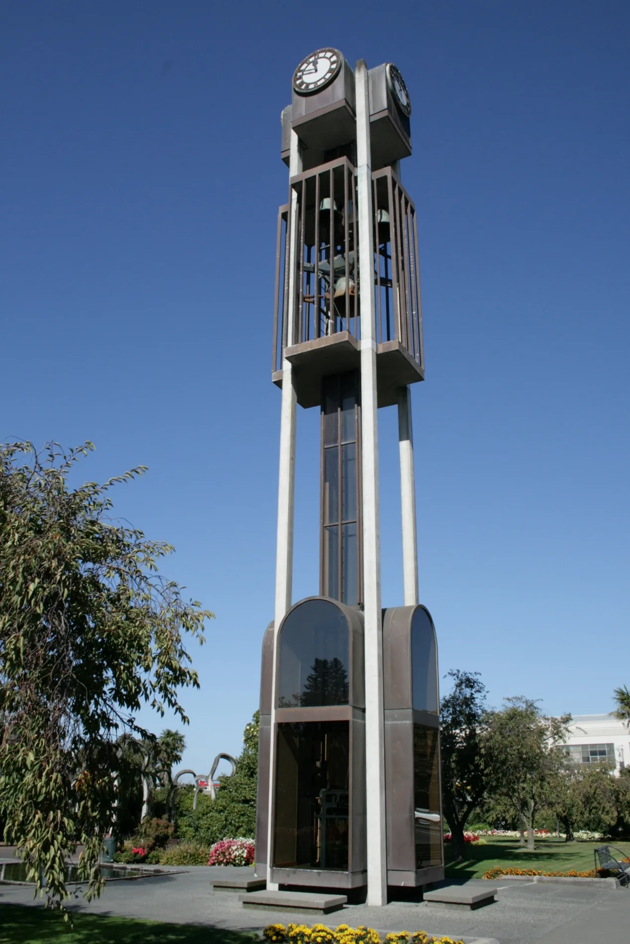
Public clocks
Supermarkets
Mobile phone shops
Bar
Roads nearby
West StreetAshburton (West St), Formosa, Bella Vista, Robert Harris
100 m
Cameron StreetJohn Grigg Memorial
200 m
Park StreetLazyboy
200 m
Baring Square EastAshburton Public Library
250 m
East StreetHeartland Bank, Ashburton Coach Stop, Life Pharmacy, Whitcoulls, Paper Plus, NZPost, House Of Travel, The Phone Station, Robinsons, Bank Of New Zealand, Ashburton, Ashburton Town Clock, 95/Main South Line, Blacks Fasteners, BarginMe, Comodore Motorlodge, 94/Main South Line, Ton's Thai, Farmers
250 m
Ashburton Overbridge250 m
Victoria Street300 m
Sealy Street300 m
Tancred StreetRamblers Rest Backpackers, The Bottle-O
350 m
Winter Street350 m
Park Lane350 m
Burnett StreetThe Somerset Grocer, NBS
400 m
Short Street450 m
Moore StreetSupercheap Auto, BedsRus
450 m
East Street Shared PathKellys Irish Cafe & Bar, The Fine Lion, Ashburton Coach Stop
450 m
Kermode StreetKathmandu, Postie, Columbus Coffee, Smith & Church
600 m
Grigg Street600 m
Wills StreetTaste Cafe, Jatt Cuts, Wises Pharmacy, Ming Wah
600 m
River Terrace650 m
Philip Street650 m
Elizabeth Street750 m
Smallbone Drive750 m
Havelock Street800 m
Walker Street800 m
Oak Grove950 m
Alford Forest RoadPlacemakers
950 m
DIY stores nearby
Mitre 10 MEGA550 m
Buildings nearby
Ashburton telephone exchange250 m
Pioneer Hall300 m
Ministry for Children400 m
Convenience stores nearby
Z Ashburton350 m
Courthouses nearby
Ashburton Courthouse50 m
Department stores nearby
Harvey Norman350 m
The Warehouse650 m
Farm supplies shops nearby
Federated Farmers300 m
South Island Seed Dressing & Storage Co800 m
Fast food restaurants nearby
Subway200 m
McDonald's450 m
Industrial areas nearby
KiwiRail Container Terminal400 m
Museum nearby
Ashburton Art Gallery & Heritage Centre200 m
Places of worship nearby
St. Andrews200 m
Baring Square Methodist Church300 m
Church of the Holy Name300 m
St Stephen's Anglican Church - Ashburton300 m
Post offices nearby
New Zealand Post200 m
Restaurants nearby
Cleavers Corner Gastro Pub350 m
Sports centres nearby
EA Networks Centre950 m
Studios nearby
MediaWorks350 m
Supermarkets nearby
New World350 m
 Public transport map Ashburton District Legend
| Railway | |
| Bus | |
| Tram |
 Cycling map Ashburton District Legend
| Cycle path | |
| Cycle lane on road | |
| Cycling on bus lane | |
| Bicycle street | |
| Cyclists allowed | |
| Cyclists allowed, good surface | |
| No cycling | |
| Cobblestones |
| Long-distance cycle route | (depending on scale) | |
| Long-distance cycle route |
 Walking map Ashburton District Legend
| Path |
| Long-distance hiking trail | (depending on scale) | |
| Long-distance hiking trail | ||
| No pedestrians |