
Baring Square East in Ashburton District
Baring Square East in Ashburton District is a service road. The road has sidewalks. It runs as a one-way street in a northeast-southwest direction starting from Victoria Street and crosses Cameron Street and ends at Havelock Street. In the vicinity, there is a library. The nearest stop in the vicinity is Ashburton Coach Stop (approx. 150 m away).
- Road Type
- service road
- Route
- northeast-southwest
Image
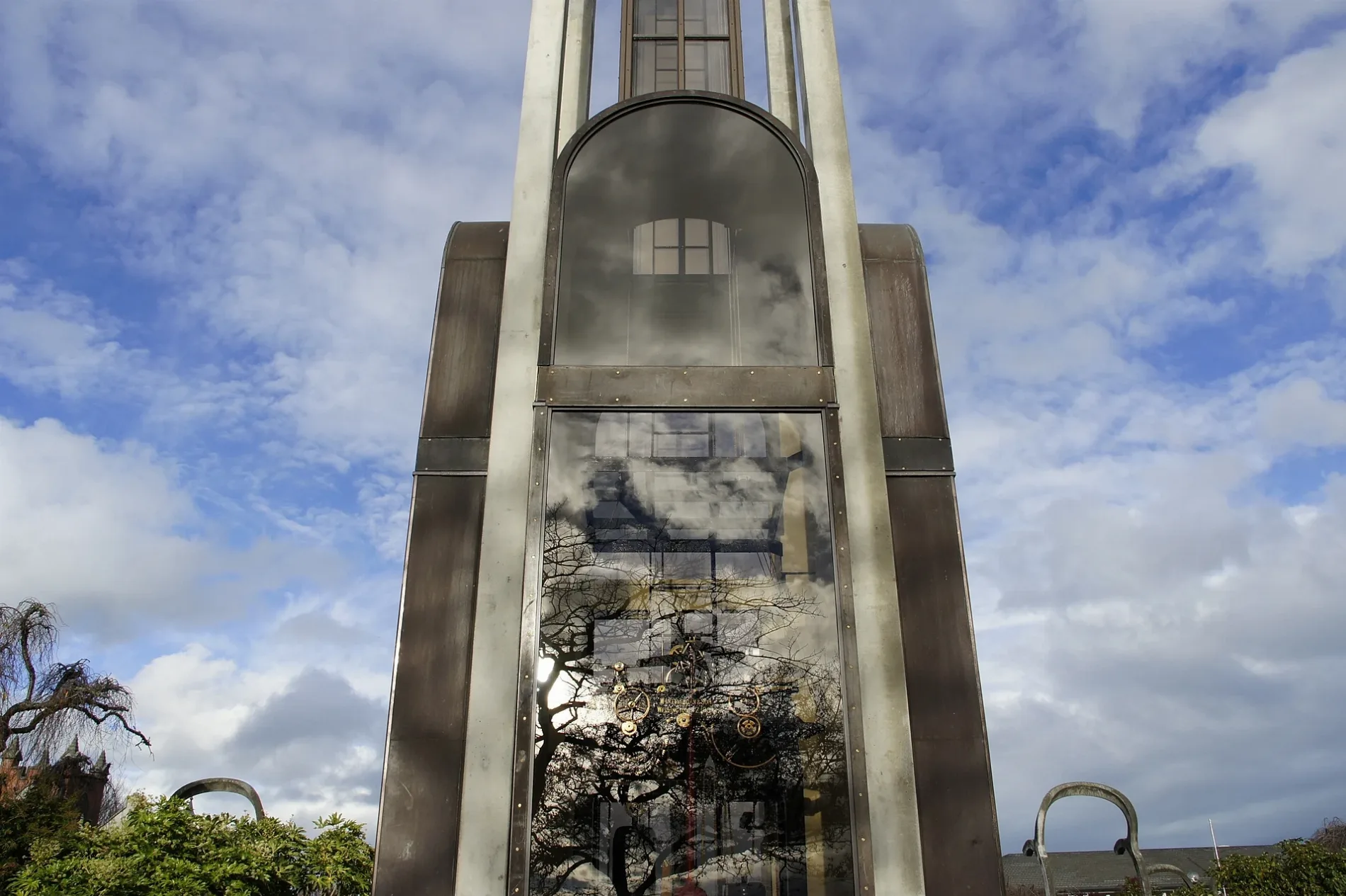
Library
Roads nearby
Havelock Street100 m
Cameron StreetJohn Grigg Memorial
100 m
Victoria Street100 m
West StreetAshburton (West St), Formosa, Bella Vista, Robert Harris
150 m
Cass Shared PathAshburton Safer Community Council
200 m
Burnett StreetThe Somerset Grocer, NBS
200 m
East StreetHeartland Bank, Ashburton Coach Stop, Life Pharmacy, Whitcoulls, Paper Plus, NZPost, House Of Travel, The Phone Station, Robinsons, Bank Of New Zealand, Ashburton, Ashburton Town Clock, 95/Main South Line, Blacks Fasteners, BarginMe, Comodore Motorlodge, 94/Main South Line, Ton's Thai, Farmers
200 m
Baring Square West250 m
Ashburton Overbridge300 m
Tancred StreetRamblers Rest Backpackers, The Bottle-O
350 m
Peter Street350 m
Cass StreetSt Pierre's Sushi, Sweet Dreams, Coffee Culture, The Ottoman, Joes Garage, Sals Authentic New York Pizza, RE Burger
350 m
Park StreetLazyboy
400 m
East Street Shared PathKellys Irish Cafe & Bar, The Fine Lion, Ashburton Coach Stop
450 m
Wills StreetTaste Cafe, Jatt Cuts, Wises Pharmacy, Ming Wah
450 m
Moore StreetSupercheap Auto, BedsRus
450 m
Cox Street500 m
William Street550 m
Chalmers Avenue650 m
Aitken Street700 m
Eton Street800 m
Buildings nearby
Pioneer Hall100 m
Ashburton telephone exchange150 m
The Salvation Army250 m
Ministry for Children300 m
Cinemas nearby
Regent Cinema300 m
Convenience stores nearby
Z Ashburton400 m
Courthouses nearby
Ashburton Courthouse250 m
Events venues nearby
Ashburton Event Centre250 m
Farm supplies shops nearby
Federated Farmers350 m
Fast food restaurants nearby
Subway250 m
Fitness centres nearby
CityFitness500 m
Furniture shops nearby
Office Spot Ashburton550 m
Industrial areas nearby
KiwiRail Container Terminal400 m
Museum nearby
Ashburton Art Gallery & Heritage Centre250 m
Parks nearby
Digby Park550 m
Mona Square550 m
Places of worship nearby
Baring Square Methodist Church100 m
Ashburton Baptist Church200 m
St. Andrews350 m
Post offices nearby
New Zealand Post100 m
Restaurants nearby
Cleavers Corner Gastro Pub350 m
Second-hand shops nearby
Salvation Army Family Store300 m
Shoe shops nearby
Number One Shoes500 m
Sports pitches nearby
Digby Park Tennis Courts550 m
Studios nearby
MediaWorks400 m
Supermarkets nearby
Woolworths300 m
Save More450 m
Town halls nearby
Community House500 m
 Public transport map Ashburton District Legend
| Railway | |
| Bus | |
| Tram |
 Cycling map Ashburton District Legend
| Cycle path | |
| Cycle lane on road | |
| Cycling on bus lane | |
| Bicycle street | |
| Cyclists allowed | |
| Cyclists allowed, good surface | |
| No cycling | |
| Cobblestones |
| Long-distance cycle route | (depending on scale) | |
| Long-distance cycle route |
 Walking map Ashburton District Legend
| Path |
| Long-distance hiking trail | (depending on scale) | |
| Long-distance hiking trail | ||
| No pedestrians |