
Connel Bridge in Argyll and Bute
Connel Bridge in Argyll and Bute is an abandoned railway (Transport Scotland). It runs in a north-south direction and ends in a cul-de-sac. Connel Bridge is also known as Connel Ferry Bridge. Ⓦ.
- Road Type
- expressway
- Lanes
- 1
- Speed Limit
- 30 mph
- Operator
- Transport Scotland
- Route
- north-south
Image
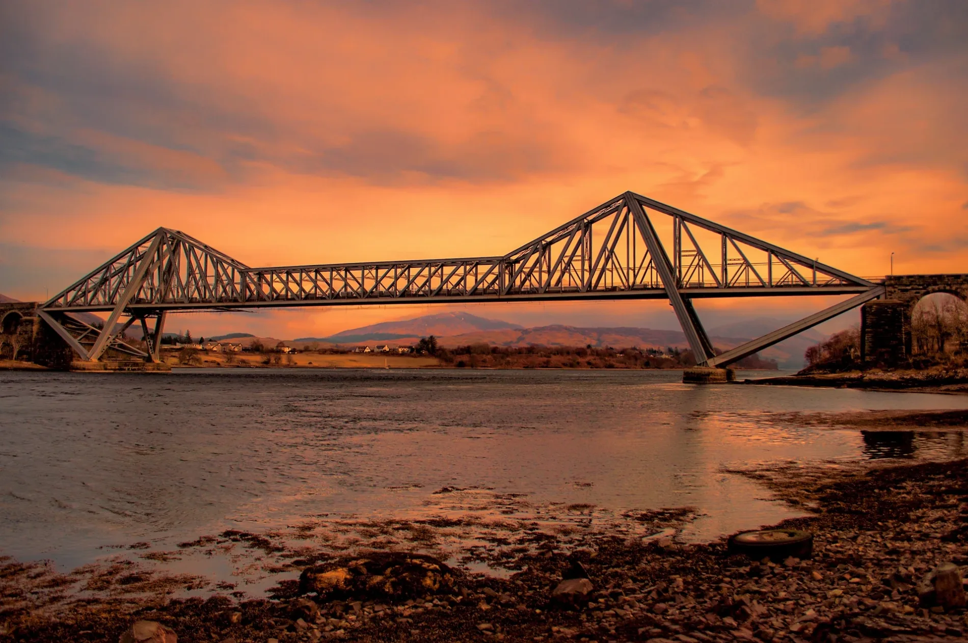
Roads nearby
Deirdre150 m
Ferryfield Drive300 m
Powell Place300 m
St Oran's Place300 m
Ferryfield Road350 m
Grosvenor Crescent350 m
Connel Village Loop RoadConnel, Post Office
400 m
Observer Corps Post RoadEtive Park
500 m
Etive Park500 m
Lora ViewLochnell Arms
550 m
Croft View650 m
Benmore View700 m
Falls Crescent700 m
Achaleven Road800 m
Glen Park850 m
Bonawe RoadNorth Connel, Black Crofts
850 m
Old Shore Road1,0 km
Dunlora2,6 km
Antique shops nearby
Funky Junk & The Tin Bin500 m
Baies nearby
Ardmucknish Bay2,0 km
Body of waters nearby
Loch Eck950 m
Lochan nan Rath1,6 km
Lochan a`Chuirn1,9 km
Lochan Uaine2,2 km
Buildings nearby
Connel Telephone Exchange400 m
Lora Villa700 m
Former ROC Group HQ1,1 km
Caravan site nearby
North Ledaig Caravan Site2,6 km
Chalet nearby
Cnocaruan150 m
Loch View350 m
Community centres nearby
Connel Village Hall450 m
Doctor's practice nearby
Taynuilt Medical Practice200 m
Guest house nearby
Ronebhal Guest House350 m
Mactalla500 m
Grove House600 m
Hotels nearby
Falls of Lora Hotel650 m
Industrial areas nearby
Gleaner650 m
Oilfast Limited1,7 km
Places of worship nearby
St Oran's Church350 m
St Oran's Church - Church Hall550 m
Railway lines nearby
West Highland Line800 m
Razed railways nearby
Connell Ferry to Ballachulish Line300 m
Residential areas nearby
Ledaig1,7 km
Rivers nearby
Lusragan Burn1,9 km
Other nearby
H41000 m
H31000 m
H21,1 km
H11,1 km
Oban Airport1,3 km
| Inception | 1903 |
|---|---|
| Material | steel |
| Heritage designation | category B listed building |
| Located in | Argyll and Bute, Kilmore and Kilbride |
| Country | United Kingdom |
| Crosses | Loch Etive |
| Carries thoroughfare | A828 road |
 Public transport map Argyll and Bute Legend
| Railway | |
| Bus | |
| Tram |
 Cycling map Argyll and Bute Legend
| Cycle path | |
| Cycle lane on road | |
| Cycling on bus lane | |
| Bicycle street | |
| Cyclists allowed | |
| Cyclists allowed, good surface | |
| No cycling | |
| Cobblestones |
| Long-distance cycle route | (depending on scale) | |
| Long-distance cycle route |
 Walking map Argyll and Bute Legend
| Path |
| Long-distance hiking trail | (depending on scale) | |
| Long-distance hiking trail | ||
| No pedestrians |