
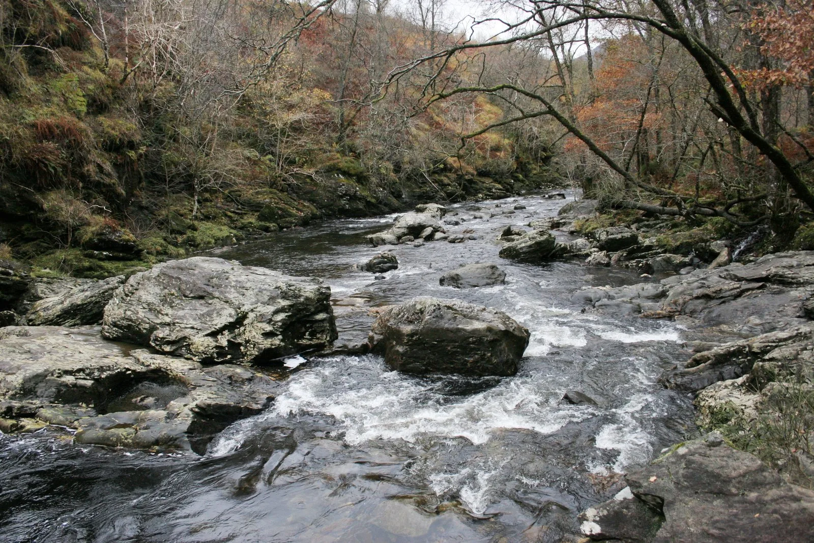
River Falloch in Argyll and Bute
River Falloch in Argyll and Bute is a river. River Falloch also exists in Stirling.
- Waterway Type
- river
Image
Roads nearby
Ardleish pier2,3 km
Loch Fyne to Inverarnan Drove Road (Heritage Path)4,5 km
Coffin Road to Balquhidder (aproximate route)5,5 km
Old Military RoadAldochlay, Bandry
6,8 km
West Highland Way - Slighe Taobh an Iar na GàidhealtachdBalmaha, St. Mocha, Village Shop, Rowardennan, St Fillian's Priory, Peatland Restoration Project, Kirkton, Dumgoyach, Inversnaid Hotel, Ardchoil, Ben Lomond Cottage, Top Up Tap, Honesty Box (self-service), Rowchoish, Beinglas, Beinglas Campsite Shop, Showers, Mill of Ross, Scottish Centre for Ecology and the Natural Environment, Cashell Glen, The Battle of Dalrigh, Derrydarroch, Balmaha Car Park, Balmaha Lodges, Rob Roy's Cave, Sroin Uaidh, Dumgoyne, Turnip The Beet, Local Information Box, Turnip the Beet, Wild Camp (3 Tents), Carmyle Cottage, Holy Pool of St Fillan, Welcome to SRUC Kirkton and Auchtertyre Farms, Holy Pool, Cailness, The Lochan of the Lost Sword, Tyndrum Community Woodland, Bealach Ard, Reception & Shop, The Happy Haggis, The Beech Tree
6,9 km
Body of waters nearby
Geal Loch1,0 km
Dubh Lochan1,1 km
Lochan Beinn Damchain2,6 km
Lochan a` Chaisteil2,8 km
Lochan nam Muc3,2 km
Lochan Beinn Chabhair3,5 km
Lochan Srath Dubh-uisge4,0 km
Lochan Duin4,3 km
Lochan Creag nan Caorann4,7 km
Loch Sloy6,2 km
Lochan a Mhadaidh6,6 km
Buildings nearby
The Drovers Lodge1000 m
Campsite nearby
Beinglas Farm1,1 km
Inveruglas camping permit area March-September7,6 km
Dams nearby
Allt na Lairige Dam6,5 km
Loch Sloy Dam6,9 km
Hotels nearby
Rose Cottage1,1 km
Industrial areas nearby
Sloy Power station7,7 km
Industrial buildings nearby
Valve House, Loch Sloy Hydro-Electric Power Station7,4 km
Pubs nearby
The Drovers Inn950 m
Railway lines nearby
West Highland Line2,5 km
Residential buildings nearby
Ardvorich House5,6 km
Rivers nearby
Allt Arnan1,7 km
Ben Glas Burn2,1 km
Strath Dubh-uisge2,1 km
Allt a'Chuillin4,7 km
Eas Eonan5,3 km
Glengyle Water5,9 km
Dubh Eas6,2 km
Allt Gleann Achrioch7,2 km
Allt Coir' an Longairt7,3 km
Streams nearby
Allt Criche3,1 km
Allt Fionn Ghlinne4,3 km
Lag a'Chuirn4,6 km
Allt Rostan5,2 km
Allt Ardvorlich5,7 km
Allt Oss5,8 km
Allt Andoran6,1 km
River Fallon7,8 km
Viewpoint nearby
An Ceann Mòr - Inveruglas Pyramid7,7 km
Wilderness huts nearby
Doune Byre3,4 km
Woodlands nearby
Eilean a' Bhùtha5,0 km
Other nearby
Inverarnan Substation550 m
Inversnaid - Inveruglas7,7 km
| Located in | Argyll and Bute, Stirling |
|---|---|
| Country | United Kingdom |
| Mouth | Loch Lomond |
 Public transport map Argyll and Bute Legend
 | Railway | |
| Bus | |
| Tram |
 Cycling map Argyll and Bute Legend
 | Cycle path | |
| Cycle lane on road | |
| Cycling on bus lane | |
| Bicycle street | |
| Cyclists allowed | |
| Cyclists allowed, good surface | |
| No cycling | |
| Cobblestones |
| Long-distance cycle route | (depending on scale) | |
| Long-distance cycle route |
 Walking map Argyll and Bute Legend
 | Path |
| Long-distance hiking trail | (depending on scale) | |
| Long-distance hiking trail | ||
| No pedestrians |