
Mayfield Road in Liberton and District
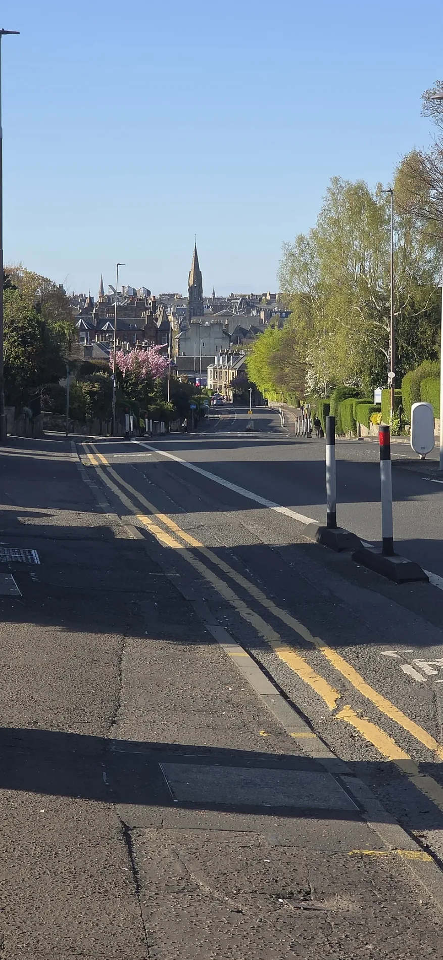
Mayfield Road in City of Edinburgh, Liberton and District is a two-lane, asphalted, lit tertiary road. The road has a sidewalk. It runs in a southeast-northwest direction starting from Ratcliffe Terrace and crosses Fountainhall Road, West Mayfield, Bright's Crescent, St Alban's Road, Relugas Road, Mentone Terrace, West Savile Terrace, Savile Terrace, Macdowall Road, West Savile Road and Ross Gardens. It ends in a cul-de-sac and connects City of Edinburgh and Liberton and District.
- Road Type
- tertiary road
- Lanes
- 2
- Speed Limit
- 20 mph
- Route
- southeast-northwest
Bus stops
Hairdressers
Dentist
Social facility
Kindergarten
Pharmacy
Florist's
Restaurants
Hardware shops
Guest house
School
Fast food restaurants
Bakeries
Roads nearby
Blackford Glen RoadRG Security
150 m
Liberton RoadGordon Terrace, Mid Liberton, Flava
200 m
Double Hedges Road250 m
Blackbarony Road300 m
Mossgiel Walk300 m
Orrok Lane350 m
Mid Liberton350 m
Gordon Terrace350 m
Thomas Bayes RoadNucleus Shop & Wrap Bar, JCMB Secure Cycle Store 2, JCMB Secure Cycle Store 3, KB100 A brief aerial history of The King’s Buildings campus
400 m
Liberton BraeEdinburgh Montessori Arts School, Teens+ Liberton, Elan Hairdressing, Orchardhead Road, Orchardhead Loan, Wolrige Road, Liberton Cemetery, Denis Equi, Fleming Pharmacy, Goodfellow & Steven, Floral Ambitions, New Fortune Cookie, Paper Rack, Scotmid Co-operative Funeral Directors, Brae Lodge
400 m
Ross Road400 m
Robert Stevenson RoadThe Eng Inn
400 m
Colin MacLaurin RoadBrücks
450 m
Orchardhead RoadKrua Thai Cookery School
500 m
Charlotte Auerbach Road550 m
Apartment buildings nearby
Mayfield Residences50 m
Mayfield Residences Building Two150 m
Bicycle parkings nearby
James Clerck Maxwell Building Bike Store 4350 m
Nucleus Building Bike Store500 m
Buildings nearby
Liberton Dams100 m
Kings Buildings A B Primary150 m
Commercial areas nearby
Liberton Tower Mains350 m
Plant nurseries nearby
Edinburgh University Landscape Section350 m
Recreation grounds nearby
Liberton Playing Fields100 m
Social facilities nearby
Braidburn Court100 m
Braeside House450 m
Sports centres nearby
Liberton FP RFC200 m
Streams nearby
Braid Burn200 m
University buildings nearby
CH Waddington Building250 m
Daniel Rutherford Building300 m
Michael Swann Building300 m
Hudson Beare Lecture Theatre300 m
Alrick Building350 m
Faraday Building350 m
Fleeming Jenkin Building350 m
Hudson Beare Building350 m
Alexander Graham Bell Building400 m
Sanderson Building400 m
Structures Lab450 m
Wiliam Rankine Building450 m
Centre for Science at Extreme Conditions450 m
John Muir Building450 m
Ashworth 3450 m
Mary Brück Building500 m
March Building500 m
Ashworth 2500 m
James Clerk Maxwell Building500 m
Ashworth Laboratories500 m
Sir John Murray Laboratories500 m
| Located in | City of Edinburgh |
|---|---|
| Country | United Kingdom |
Public transport map Liberton and District Legend
| Railway | |
| Bus | |
| Tram |
Cycling map Liberton and District Legend
| Cycle path | |
| Cycle lane on road | |
| Cycling on bus lane | |
| Bicycle street | |
| Cyclists allowed | |
| Cyclists allowed, good surface | |
| No cycling | |
| Cobblestones |
| Long-distance cycle route | (depending on scale) | |
| Long-distance cycle route |
Walking map Liberton and District Legend
| Path |
| Long-distance hiking trail | (depending on scale) | |
| Long-distance hiking trail | ||
| No pedestrians |