
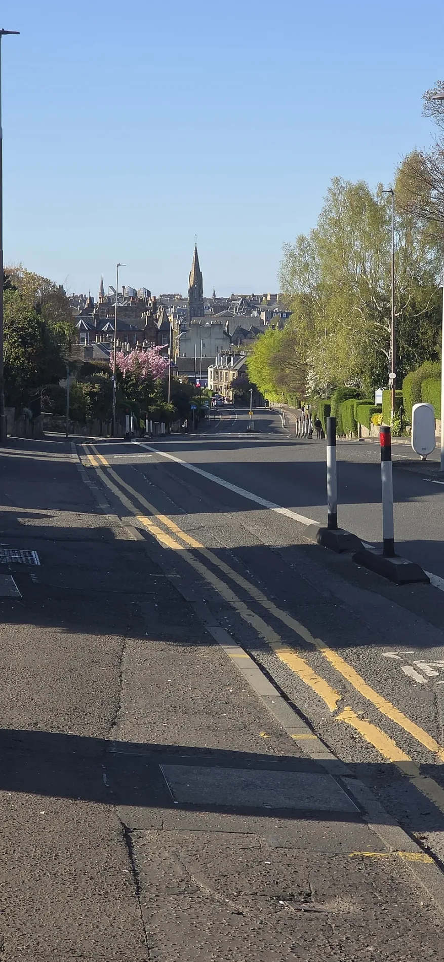
Mayfield Road in Edinburgh
Mayfield Road in City of Edinburgh is a two-lane, asphalted, lit tertiary road. The road has sidewalks (asphalt). It runs in a southeast-northwest direction starting from Ratcliffe Terrace and crosses Fountainhall Road, West Mayfield, Bright's Crescent, St Alban's Road, Relugas Road, Mentone Terrace, West Savile Terrace, Savile Terrace, Macdowall Road, West Savile Road and Ross Gardens. It connects City of Edinburgh and Liberton and District. Mayfield Road is also known as Mayfield Road, Edinburgh. This road is part of the bicycle route "Quiet Route 6". In the vicinity, you can find among other things 3 guest house, 2 fast food restaurants, 2 hairdressers and a pharmacy. The nearest stops include West Savile Terrace, Fountainhall Road, West Savile Road, Suffolk Road and Lygon Road. The bus lines 12 and 24 serve this stop. Mayfield Road also exists in Highland, Aberdeenshire, Perth and Kinross, Falkirk and Midlothian.
- Road Type
- tertiary road
- Lanes
- 2
- Speed Limit
- 20 mph
- Route
- southeast-northwest
Image
Fast food restaurants
Pharmacy
Beauty salons
Dentist
Bus stops
- bus lines 12, 24
Guest house
Hairdressers
Cafés
Art galleries
Veterinary clinic
Roads nearby
Mayfield RoadApartment buildings nearby
Mayfield Residences Building TwoBicycle parkings nearby
James Clerck Maxwell Building Bike Store 4Buildings nearby
Kings Buildings A B PrimaryCommercial areas nearby
Liberton Tower MainsPlant nurseries nearby
Edinburgh University Landscape SectionRecreation grounds nearby
Liberton Playing FieldsSocial facilities nearby
Braidburn CourtSports centres nearby
Liberton FP RFCStreams nearby
Braid BurnUniversity buildings nearby
CH Waddington Building| Located in | City of Edinburgh |
|---|---|
| Country | United Kingdom |
 Public transport map City of Edinburgh Legend
| Railway | |
| Bus | |
| Tram |
 Cycling map City of Edinburgh Legend
| Cycle path | |
| Cycle lane on road | |
| Cycling on bus lane | |
| Bicycle street | |
| Cyclists allowed | |
| Cyclists allowed, good surface | |
| No cycling | |
| Cobblestones |
| Long-distance cycle route | (depending on scale) | |
| Long-distance cycle route |
 Walking map City of Edinburgh Legend
| Path |
| Long-distance hiking trail | (depending on scale) | |
| Long-distance hiking trail | ||
| No pedestrians |