
Tormain Bank in Edinburgh
Tormain Bank in City of Edinburgh is a two-lane, lit residential street. It runs in a northeast-southwest direction and crosses Tormain Drive and ends at North Platt Gardens, while the other end is a cul-de-sac.
- Road Type
- residential street
- Lanes
- 2
- Speed Limit
- 20 mph
- Route
- northeast-southwest
Image
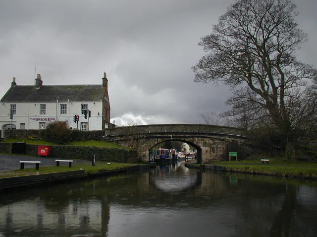
Roads nearby
North Platt Gardens100 m
Tormain Drive150 m
Union Canal TowpathAllan Park Road, Slateford Bowling Club Pavilion, Craiglockhart Junction, Brian Miller Motors, Brown's Body Services
200 m
East Croft200 m
North Platt Crescent200 m
CanalsideNavvie
200 m
West Croft250 m
Freelands Way250 m
Freelands Road300 m
Ratho Park Road350 m
Baird RoadCanal Centre
350 m
Wilkie View350 m
Main StreetDalmeny, Davidson's Mains, Ye Olde Inn, Main Street, Corbiehill Road, The Norhet, Bangla Kitchen, Davidson's Mains Dental, Battison Dental Care, Greggs, Indigo Sun, Ballantine Goldie, Care Clean, Boots, The Wax Bar, Abida, Spar, The Village Bistro, Coral, The Silk Road Tailor, Carpet & Flooring Store, Barclays, Craigpark Avenue, Ratho Main Street, No 77, Kirkliston, Manse Road, The Glebe, Station Road, Lucky House, Well Pharmacy, Veterinary Surgery, Carpe Diem, Krkliston News, Fourways Fish Bar, Kirkliston Post Office, Easter Dalmeny, Chapel Gate, Silverknowes Road South, Corbie Fish Bar
400 m
Lidgate Shot400 m
Dalmahoy RoadTimmins Court, Dalmahoy Road, Dalmahoy Country Club
550 m
School WyndRatho Community Centre, Ratho Nursery
550 m
Amenities nearby
Pilton Retreat500 m
Buildings nearby
Boat Facilities Hut300 m
Sports Hut300 m
Manse400 m
Church Hall450 m
Ratho Bowling Club450 m
Seagull Trust450 m
Kirkton Hall500 m
Steading550 m
Lodge Kirknewton & Ratho № 85550 m
Ratho Byres Forge600 m
Club House800 m
Metal Forge800 m
Golf Shop800 m
Icehouse850 m
Dovecot900 m
Canals nearby
Union Canal500 m
Constructions nearby
Old Gas Works250 m
Docks nearby
Dry Dock500 m
Farmyards nearby
Freelands450 m
Ransfield800 m
Forests nearby
Lidgate Wood350 m
Hotels nearby
The Bridge Inn400 m
Libraries nearby
Ratho Library500 m
Marinas nearby
Ratho Marina300 m
Parks nearby
Ratho Park350 m
Places of worship nearby
Ratho Parish Church450 m
Residential buildings nearby
Old School House350 m
Sports pitches nearby
Ratho Bowling Club Green450 m
Wetlands nearby
Ransfield Marsh600 m
Woodlands nearby
Birch & Oak Wood450 m
Alder Wood500 m
Birch Wood550 m
Public transport map City of Edinburgh Legend
| Railway | |
| Bus | |
| Tram |
Cycling map City of Edinburgh Legend
| Cycle path | |
| Cycle lane on road | |
| Cycling on bus lane | |
| Bicycle street | |
| Cyclists allowed | |
| Cyclists allowed, good surface | |
| No cycling | |
| Cobblestones |
| Long-distance cycle route | (depending on scale) | |
| Long-distance cycle route |
Walking map City of Edinburgh Legend
| Path |
| Long-distance hiking trail | (depending on scale) | |
| Long-distance hiking trail | ||
| No pedestrians |