
Freelands Road in Edinburgh
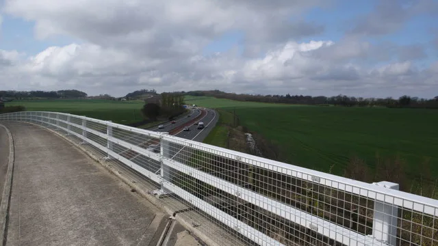
Freelands Road in City of Edinburgh is a two-lane, asphalted, unlit tertiary road. The road has no sidewalks. It runs in a northeast-southwest direction and crosses Freelands Way, Gogarstone Road and Roddinglaw Road. It ends in a cul-de-sac. Freelands Road also exists in West Dunbartonshire.
- Road Type
- tertiary road
- Lanes
- 2
- Speed Limit
- 30 mph
- Route
- northeast-southwest
Image
Roads nearby
North Platt Crescent600 m
North Platt Gardens700 m
Tormain Bank700 m
Tormain Drive750 m
Freelands Way800 m
East Croft850 m
CanalsideNavvie
850 m
Union Canal TowpathAllan Park Road, Slateford Bowling Club Pavilion, Craiglockhart Junction, Brian Miller Motors, Brown's Body Services
850 m
West Croft900 m
Wilkie View950 m
Ratho Park Road1000 m
Baird RoadCanal Centre
1000 m
Glasgow RoadAirport Junction, Airport Roundabout, Gogar Roundabout, Gogarstone Road, Ingliston Road, Ingliston Showground, Middle Norton, Maybury Road (Maybury), Lochend Road, Arnold Clark Accident Repair Centre, Gogar, Gogarburn A8, Gogarburn, North Gyle Road, Craigs Avenue, Craigs Gardens, Bar B Que, Lucky Chen, Smile Plus, Dance Podiatry/Chiropody, Slumdog, St Thomas' Church, Domino's, Cast Iron Grill, Dechmont Road, Clark Commercials, Automak, City Valet, SRS Alloys, Dechmont House, Craigievar Guest House, Station Road
1,1 km
Lidgate Shot1,1 km
Gogarstone Road1,1 km
Ransfield RoadRansfield Cottages
1,2 km
Eastfield RoadEastfield Road, Green motion car rental, Ingliston, Iskander Aeromedical, Butler's Chauffeur Drive, Airport Hotel
1,2 km
Roddinglaw RoadRoddinglaw
1,2 km
Ingliston RoadIngliston Cattery and Kennels, Royal Highland Showground, Gate 5S, Gate 5N
1,2 km
Gogar Moor Bridge1,4 km
Amenities nearby
Little Flyers Nursery1,1 km
Buildings nearby
Ingliston Park and Ride1,3 km
Buildings nearby
Ratho Byres Forge150 m
Ashley Stables500 m
Steading600 m
Ashley House600 m
Icehouse600 m
Club House700 m
Golf Shop700 m
Dovecot700 m
Boat Facilities Hut900 m
Sports Hut1000 m
Canals nearby
Union Canal500 m
Constructions nearby
Old Gas Works900 m
Convenience stores nearby
M&S Simply Food950 m
Farmhouses nearby
Norton Mains Farm650 m
Farmyards nearby
Freelands300 m
Easter Norton Farm850 m
Ransfield1,2 km
Forests nearby
Lidgate Wood1,0 km
Gardens nearby
Ashley950 m
Golf courses nearby
Ratho Park Golf Club800 m
Marinas nearby
Ratho Marina900 m
Parks nearby
Ratho Park1000 m
Railway lines nearby
Edinburgh and Glasgow Main Line600 m
Residential buildings nearby
Ingliston House Lodge And Gatepiers1,0 km
Old School House1,0 km
Studios nearby
Sound Sound1,3 km
Wetlands nearby
Ransfield Marsh1,2 km
 Public transport map City of Edinburgh Legend
| Railway | |
| Bus | |
| Tram |
 Cycling map City of Edinburgh Legend
| Cycle path | |
| Cycle lane on road | |
| Cycling on bus lane | |
| Bicycle street | |
| Cyclists allowed | |
| Cyclists allowed, good surface | |
| No cycling | |
| Cobblestones |
| Long-distance cycle route | (depending on scale) | |
| Long-distance cycle route |
 Walking map City of Edinburgh Legend
| Path |
| Long-distance hiking trail | (depending on scale) | |
| Long-distance hiking trail | ||
| No pedestrians |