
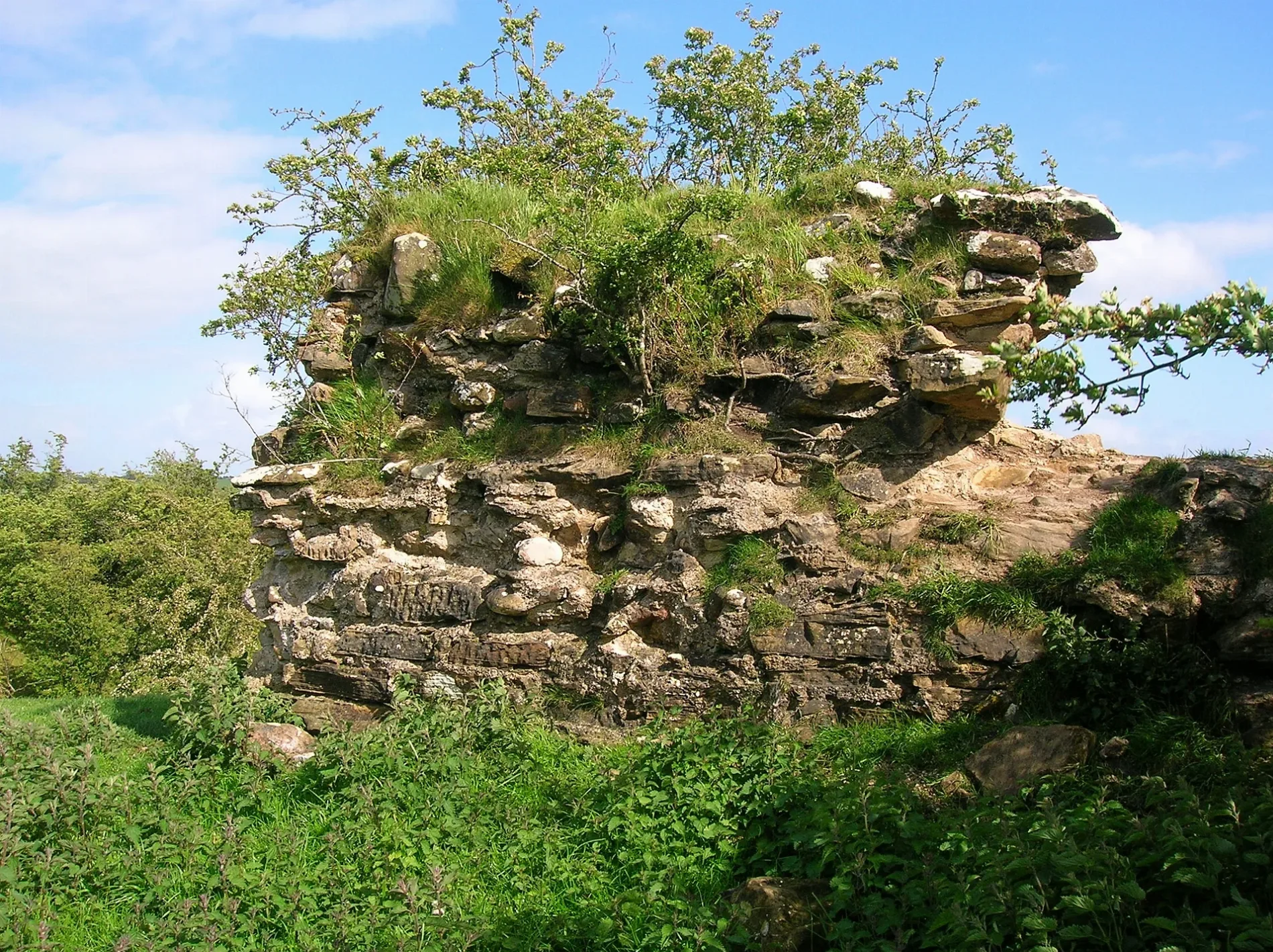
Trabboch Castle in East Ayrshire
Trabboch Castle in East Ayrshire is ruins. Trabboch Castle is also known as Trabbock Castle. Trabboch Castle is near Evergreen. Ⓦ.
- Building Type
- ruins
Image
Pharmacy
Restaurants
Guest house
Bakeries
Post offices
Bus stops
Newsagent's
Benches
Fast food restaurants
Convenience stores
Garden centres
Pubs
Car repair shops
Doctor's office
Roads nearby
EvergreenGateside Inn, Coalhall, Evergreen
2,6 km
Henrys Place3,1 km
Coyle Bridge3,4 km
Lomond Crescent3,5 km
Station Court3,5 km
Margaret Drain Crescent3,6 km
Shanter Crescent3,6 km
Lomond View3,6 km
JoppaThames, Hillhead, Carbieston Avenue, Coylton Parish Church
3,6 km
Robert Burns Avenue3,6 km
Craufurd Drive3,6 km
Mull Gait3,7 km
Littlemill RoadSeaplane Motors
3,7 km
Trysting Thorn Wynd3,7 km
Torrance Drive3,7 km
Buildings nearby
The Stair Inn2,3 km
Stair House2,5 km
Dalmore House2,6 km
Old Barskimming3,8 km
Chalet nearby
The Pines4,0 km
Commercial buildings nearby
Maybole Upholstery3,7 km
Glenbuild Contracts Ltd3,7 km
Farmyards nearby
Keyshill1,2 km
Shield Farm2,2 km
Auchinbay3,0 km
Pennymore3,0 km
High Tarbeg Farm3,2 km
Laigh Tarbeg Farm3,3 km
Barskimming Mains3,4 km
Slatehole3,4 km
Bridgend3,5 km
Forests nearby
Loachhartshill Plantation3,1 km
Hotels nearby
The Failford Inn4,0 km
Industrial areas nearby
Killoch2,6 km
Old Pit Bing2,8 km
Meadows nearby
Netheraird Holm3,5 km
Places of worship nearby
Stair Parish Church2,4 km
Pubs nearby
Toll Bar3,6 km
Quarries nearby
Open cast coal1,7 km
Railway lines nearby
Cumnock Branch2,6 km
Mauchline Branch3,9 km
Rivers nearby
River Ayr2,5 km
Water of Coyle2,9 km
Ruins nearby
Site of Slatehole Bridge3,5 km
Streams nearby
Trabboch Burn1,2 km
Woodlands nearby
Ayr Gorge Woodlands Reserve2,4 km
Velvedere Plantation3,5 km
Newlands Wood3,8 km
Other nearby
Coylton Substation2,4 km
| Operator | Clan Boyd |
|---|---|
| Heritage designation | scheduled monument, category B listed building |
| Located in | East Ayrshire |
| Country | United Kingdom |
 Public transport map East Ayrshire Legend
| Railway | |
| Bus | |
| Tram |
 Cycling map East Ayrshire Legend
| Cycle path | |
| Cycle lane on road | |
| Cycling on bus lane | |
| Bicycle street | |
| Cyclists allowed | |
| Cyclists allowed, good surface | |
| No cycling | |
| Cobblestones |
| Long-distance cycle route | (depending on scale) | |
| Long-distance cycle route |
 Walking map East Ayrshire Legend
| Path |
| Long-distance hiking trail | (depending on scale) | |
| Long-distance hiking trail | ||
| No pedestrians |