
New Lairdsland Road in East Dunbartonshire
New Lairdsland Road in East Dunbartonshire is a three-lane, asphalted, lit main road (road number A806). No sidewalks. It runs in a southeast-northwest direction and crosses Townhead Roundabout, Catherine Street and Rochdale Place. The nearest stops are Broadcroft Road (Before), High Street (opp) and High Street (before). The bus lines 27, 47, 47A, 84, 84A, 84B, 89, 247, X85, X86, X86C and X87 serve this stop.
- Road Type
- main road
- Lanes
- 3
- Speed Limit
- 30 mph
- Route
- southeast-northwest
Image
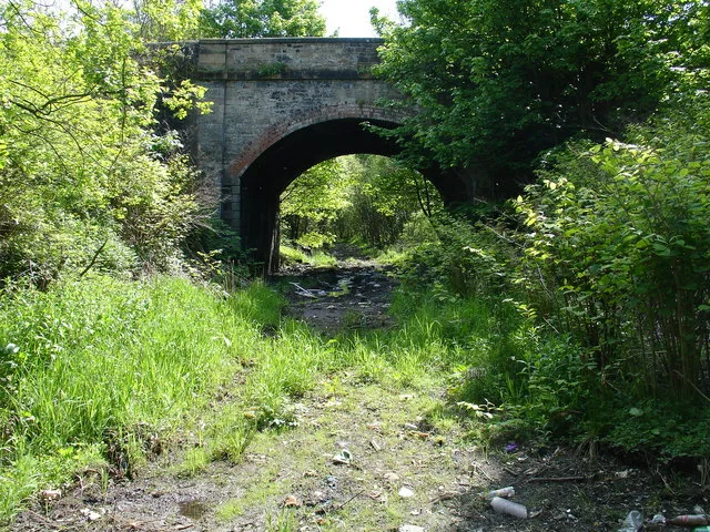
Bus stops
- bus lines 27, 47, 47A, 84, 84A, 84B, 89, 247, X85, X86, X86C, X87
Roads nearby
Townhead Roundabout50 m
Parliament Road100 m
Willowbank Gardens100 m
Strathallan Gardens100 m
Belmont Court100 m
Initiative Road100 m
Broomfield Walk150 m
Industry Street150 m
Castle Court200 m
Rose Street200 m
Shamrock Street200 m
TownheadDonaldson Place (after), Cyclewize, Farmfoods, Freeland Place (opp), The Greenhouse Cafe, Ella Por La Belleza, Ab Fab, Piccollo, Liquor Direct, Woks Cuisine, The Refinery Barbers, Lion and Star, Hazel Hiram BDS, House of Flavours, Jazz Cut, Freeland Place (after)
200 m
Donaldson Place200 m
Saramago Street250 m
Thistle Street250 m
Dun Park250 m
Glencairn Street300 m
Freeland Place300 m
Muirhead Street300 m
Waverley Crescent350 m
Forth and Clyde Canal TowpathAuchinstarry, Deil's Elbow, Barleybank, The Stables (opp)
350 m
CowgateKirkintilloch, Virgin Money, Alexandra Street (after), Royal Bank of Scotland, American Nails, Phone+, Kirkintilloch Post Office, West High Street (before), Debra Charity Shop, Specsavers, Sun Nails, Kurdish Style, Mr Rice, Xcentric, Create ED Wee Gallery and Gift Shop, Timpson, Majella's, Coia's Butchers, Totally Wicked, VAPOURZ, Home & Garden World1, Sundae1, Kirky Bazar1, Barnardo's, Bayne's, Santander, Ramsdens, Ibby's, The Salvation Army, Subway, Best Wishes, VPZ, Poundstretcher, Locavore, WHS, San Marco, Catherine Street (before), Semichem, Card Factory, The Original Factory Shop, Greggs, The Hospice Shop, British Heart Foundation, Well Pharmacy, Indian Bite, Alessio's, Boots, Costa, Boots Opticians, Spirit Of Alba, Poundland, All Minds, Optical Express
400 m
Waverley Park450 m
Glenview450 m
Waterloo Close550 m
Elm Bank550 m
Canal Lane600 m
John Street600 m
Canal StreetEastside Tyres Ltd
600 m
Waterloo Gardens600 m
Luggiebank Road650 m
Hilhead Road650 m
Peter D Stirling Road650 m
Hillhead RoadJohn Street (before), John Street (opp), Scotmid, Redbrae Road (opp), Cleddans Road (after), Grahamsdyke Road, Shells Road (before), Langmuir Avenue (after), Langmuir Avenue (opp)
650 m
Hillhead Roundabout650 m
EastsideLedgate (after), Good Luck, Hopkins Brae (before), Turret Theatre (opp), Kirkintilloch Funeralcare, Misano's, Oriental Palace, The Turret Theatre
700 m
Hopkin's Brae700 m
Abandoned railways nearby
Meiklehill Colliery300 m
Bicycle shops nearby
Chapeau Cycles300 m
Body of waters nearby
Hillhead Basin550 m
Cafés nearby
Cafe Mariana500 m
Canals nearby
Forth and Clyde Canal400 m
Doctor's practice nearby
Turret Medical Centre500 m
Places of worship nearby
Ebenezer Hall150 m
Kirkintilloch Baptist Church200 m
St Mary's Parish Church450 m
Pubs nearby
Kirky Puffer350 m
Rivers nearby
Luggie Water150 m
Supermarkets nearby
Sainsbury's300 m
Public transport map East Dunbartonshire Legend
| Railway | |
| Bus | |
| Tram |
Cycling map East Dunbartonshire Legend
| Cycle path | |
| Cycle lane on road | |
| Cycling on bus lane | |
| Bicycle street | |
| Cyclists allowed | |
| Cyclists allowed, good surface | |
| No cycling | |
| Cobblestones |
| Long-distance cycle route | (depending on scale) | |
| Long-distance cycle route |
Walking map East Dunbartonshire Legend
| Path |
| Long-distance hiking trail | (depending on scale) | |
| Long-distance hiking trail | ||
| No pedestrians |