
Stoneypath Tower in East Lothian
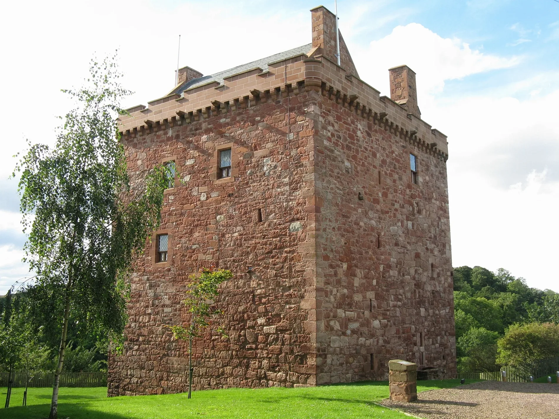
Stoneypath Tower in East Lothian is a castle (manor house). Stoneypath Tower is also known as Stonypath Tower. Stoneypath Tower is near Kirk Brae. Ⓦ.
- Building Type
- building
Image
Holiday apartment
Hofläden
Artwork
Car repair shops
Chalet
Bus stops
Tourist information offices
Doctor's office
Roads nearby
Kirk Brae800 m
Burnside CourtGarvald
950 m
Nun's Walk1,2 km
Westpoint1,2 km
Priest Bank1,4 km
Body of waters nearby
Thorters Reservoir2,2 km
Buildings nearby
Garvald Telephone Exchange1,1 km
North Lodge2,1 km
Manse2,3 km
Farmyards nearby
Papple1,2 km
Newmains1,4 km
Tanderlane1,5 km
Garvald Mains1,8 km
Cockielaw1,9 km
Whittinghame Mains2,3 km
Forests nearby
Robin Tup's Plantation1,7 km
Langlands Plantation1,9 km
Blinkbonnie Plantation2,0 km
Houses nearby
Whittinghame House2,3 km
Industrial areas nearby
Castle Moffat Water Treatment Works1,8 km
Places of worship nearby
Garvald and Bara Parish Church700 m
Residential areas nearby
South Lodge1,2 km
Castle Moffat2,0 km
Rivers nearby
Papana Water250 m
Streams nearby
Thorter Burn500 m
Hairy Burn2,1 km
Fen Burn2,5 km
Woodlands nearby
Oakbank Wood650 m
Thorter Strip700 m
Birks Plantation800 m
Blackbank Wood950 m
Nunraw Banks1,0 km
Dunstane Plantation1,1 km
Nunraw Wood1,1 km
Mountlehoy Wood1,3 km
Black Knowe Plantation1,3 km
Clartyside Plantation1,5 km
Yarrowbank Plantation1,7 km
Lawhead Plantation1,7 km
Castle Banks1,7 km
Northbank Woods1,8 km
Brown Brae Plantation2,0 km
Beveridge's Strip2,0 km
Southbank Woods2,1 km
Clartydub Strip2,2 km
Charles Muir Strip2,3 km
Scraymoor Plantation2,3 km
Black Wood2,4 km
Fen Strip2,4 km
| Located in | East Lothian |
|---|---|
| Country | United Kingdom |
 Public transport map East Lothian Legend
| Railway | |
| Bus | |
| Tram |
 Cycling map East Lothian Legend
| Cycle path | |
| Cycle lane on road | |
| Cycling on bus lane | |
| Bicycle street | |
| Cyclists allowed | |
| Cyclists allowed, good surface | |
| No cycling | |
| Cobblestones |
| Long-distance cycle route | (depending on scale) | |
| Long-distance cycle route |
 Walking map East Lothian Legend
| Path |
| Long-distance hiking trail | (depending on scale) | |
| Long-distance hiking trail | ||
| No pedestrians |